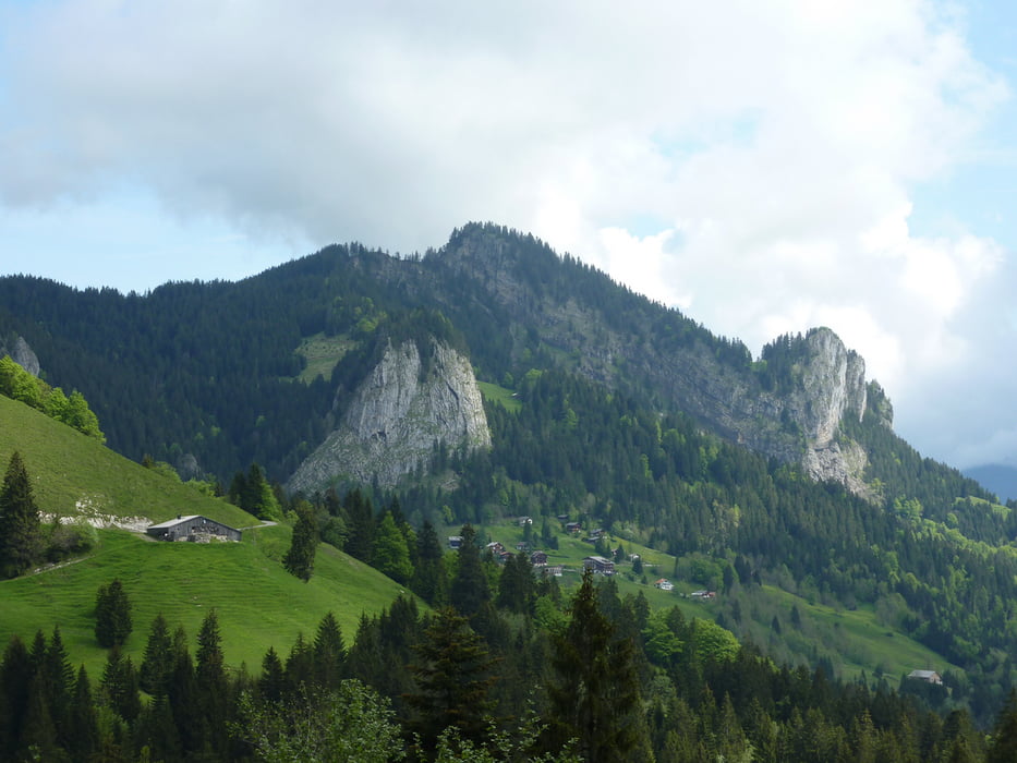
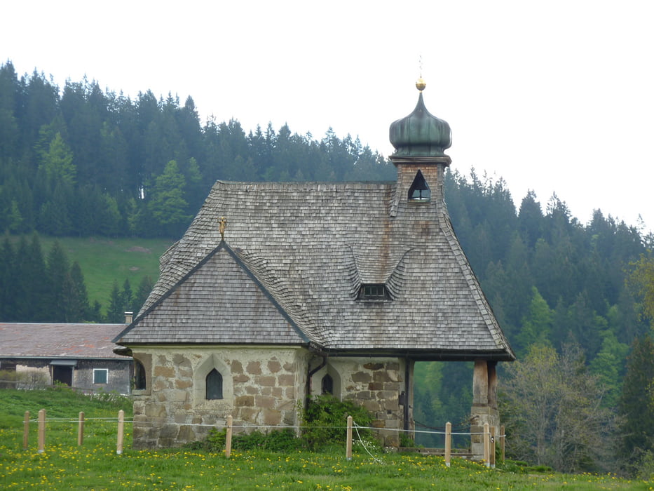
Login

Forgot your login?

Cookies have to be accepted!
Your browser's cookie functionality is disabled. Please enable this functionality.

Not a member yet?

Register now
Login

Available for registred users only

Log in to use this feature.

Forgot your login?

Cookies have to be accepted!
Your browser's cookie functionality is disabled. Please enable this functionality.

Not a member yet?

Register now
Filter
Categories
Advanced filters
  • Distance (km)
  • Height
Save filters Reset filter

TrackRank

QRCode

Technical data

Distance22,3 km Height940 m Way down867 m Duration05:30 h:m Date29.05.2010
Scores Author Landscape Fun factor Fitness Technique

Statistics

903 Views Scores 26 Downloads Average
Rate
  • Track data sheet
  • Directions
  • Downloads

Tour gallery

Tour map and elevation profile

  • Open Street Map
  • Google
Minimum height 880 m Maximum height 1371 m Detailed view

More about the tour author

xlink
Member since 2010

Send private message

Comments

skyhopper on 22.05.2011

Tour auf Wegen?

Hallo, hat in Ebnit nach der Lindenbachalpe einen Verbindungsweg (ich vermute Pfad) zum Fluß?
Auf der Kompaßkarte und Mapnik fehlt die Verbindung?
Ich mappe für OSM im Vorarlberger Bereich, da interessieren mich fehlende Wege.
Ich nehme an Du kennst die Openmtb Map http://openmtbmap.org/de/ . Da kannst Du die OSM Karte mit Höhenlinien dann aufs GPS laden

Gruß aus Wangen

GPS tracks

Trackpoints
  • GPX / Garmin Map Source (gpx) download
  • TCX / Garmin Training Center® (tcx) download
  • CRS / Garmin Training Center® (crs) download
  • Google Earth (kml) download
  • G7ToWin (g7t) download
  • TTQV (trk) download
  • Overlay (ovl) download
  • Fugawi (txt) download
  • Kompass (DAV) Track (tk) download
  • Track data sheet (pdf) download
  • Original file of the author (gpx) download

More about the tour author

xlink
Member since 2010

Send private message
Share track
Add to my favorites
Remove from my favorites
Edit tags
My score
Rate
Track: Ebnit - Weissenfluhalpe - Bödele
Type: Hiking
Distance: 22,3 km
Evaluated on:
Duration:
Day(s)
Hour(s)
Minute(s)
Score: Landscape Fun factor Fitness Technique