Login

Forgot your login?

Cookies have to be accepted!
Your browser's cookie functionality is disabled. Please enable this functionality.

Not a member yet?

Register now
Login

Available for registred users only

Log in to use this feature.

Forgot your login?

Cookies have to be accepted!
Your browser's cookie functionality is disabled. Please enable this functionality.

Not a member yet?

Register now
Filter
Categories
Advanced filters
  • Distance (km)
  • Height
Save filters Reset filter

TrackRank

QRCode

Technical data

Distance52,8 km Height2142 m Way down2559 m Duration00:00 h:m Date22.10.2006
Scores Author Landscape Fun factor Fitness Technique

Statistics

1214 Views Scores 93 Downloads Average
Rate
  • Track data sheet
  • Directions
  • Downloads
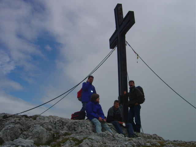
Diese Tour trägt durchgehend die Markierungsnummer 801. Sie erstreckt sich vom Steierischen Seeberg über das Hochschwabplateau und den Leopoldssteiner See bis Eisenerz. Die höchsten Erhebungen gehen hier über 2.200 m hinaus. Für die Tour benötigt man ca. 2 - 3 Tage.

Tour gallery

Tour map and elevation profile

  • Open Street Map
  • Google
Minimum height 334 m Maximum height 2284 m Detailed view

More about the tour author

rail-com

Comments

Südbahn bis Bruck an der Mur, dann Busverbindung in Richtung Mariazell.

GPS tracks

Trackpoints
  • GPX / Garmin Map Source (gpx) download
  • TCX / Garmin Training Center® (tcx) download
  • CRS / Garmin Training Center® (crs) download
  • Google Earth (kml) download
  • G7ToWin (g7t) download
  • TTQV (trk) download
  • Overlay (ovl) download
  • Fugawi (txt) download
  • Kompass (DAV) Track (tk) download
  • Track data sheet (pdf) download

More about the tour author

rail-com

Share track
Add to my favorites
Remove from my favorites
Edit tags
My score
Rate
Track: Vom Neusiedlersee zum Bodensee (Nordalpiner Weitwandeweg 01) Teil 003: Seeberg Sattel - Eisenerz
Type: Hiking
Distance: 52,8 km
Evaluated on:
Duration:
Day(s)
Hour(s)
Minute(s)
Score: Landscape Fun factor Fitness Technique