


Meraner Höhenweg
Abschnitt 1: Hochmuthbahn - Hochganghaus
Abschnitt 2: Hochganghaus - Pirchhof
Abschnitt 3: Pirchhof - Katharinaberg
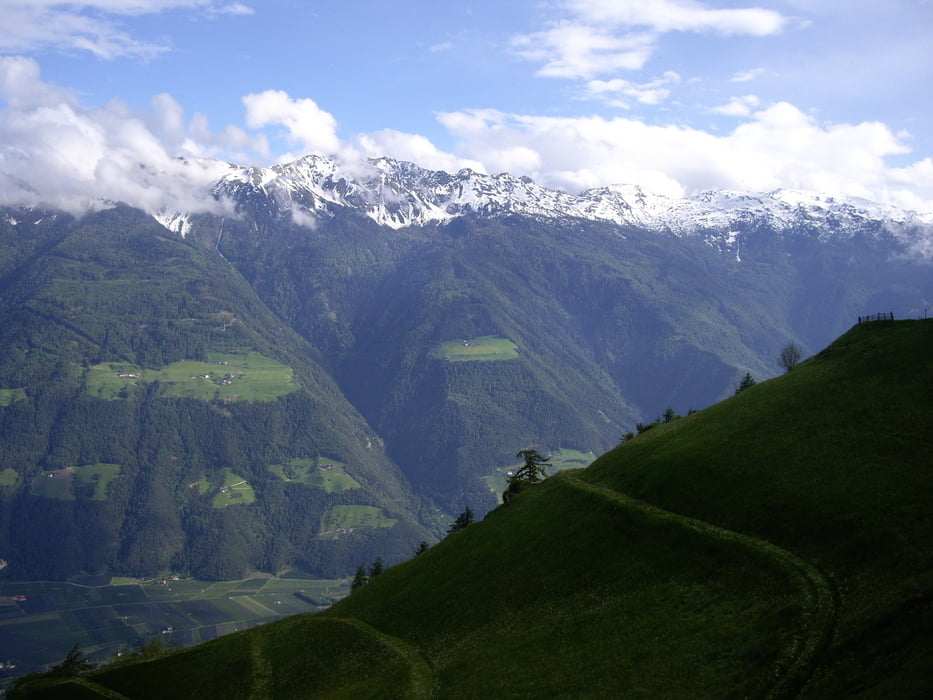
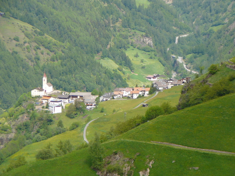
3-Tages Frühlingstour auf dem Südteil des Meraner Höhenwegs. Technisch unkritisch, ab und an ist Schwindelfreiheit erforderlich. Die Tour ist aber selbst für Einsteiger gut machbar, sofern konditionelle Grundlagen vorhanden sind. Der Wanderweg ist stets gut markiert.
Tour gallery
Tour map and elevation profile
Minimum height 1239 m
Maximum height 1848 m
More about the tour author
|
|
blobic |
Comments

Der Ausgangspunkt der der Anfahrtsbeschreibung ist Naturns bei Meran, Südtirol (Parkplatz 1 am Friedhof). Von dort aus mit dem Bus zum Bahnhof in Meran, dann weiter mit dem Bus nach Dorf Tirol zur Hochmuthbahn (Umsteigen in Dorf Tirol). Auffahrt mit der Bahn zum Startpunkt.
Rückkehr von Katharinaberg aus nach Naturns mit Bus (Abfahrtszeiten beachten!) oder Wandertaxi (ca. 25 Euro, Stand Mai 2010).
GPS tracks
Trackpoints-
GPX / Garmin Map Source (gpx) download
-
TCX / Garmin Training Center® (tcx) download
-
CRS / Garmin Training Center® (crs) download
-
Google Earth (kml) download
-
G7ToWin (g7t) download
-
TTQV (trk) download
-
Overlay (ovl) download
-
Fugawi (txt) download
-
Kompass (DAV) Track (tk) download
-
Track data sheet (pdf) download
-
Original file of the author (gpx) download
More about the tour author
|
|
blobic |
Add to my favorites
Remove from my favorites
Edit tags
Open track
My score
Rate