


mit dem Sonnwendjoch-Sessellift bis zur Mittelstation von hier ca. 500m steil hoch bis zum Hochalmweg, dann links dem Weg an der Pletzachalm vorbei und wieder hoch zur Bayreuther Hütte (DAV). Zurück bis kurz vor der Pletzachalm dann rechts am Habacher Bach entlang und weiter durch den Wald zur Talstation zurück
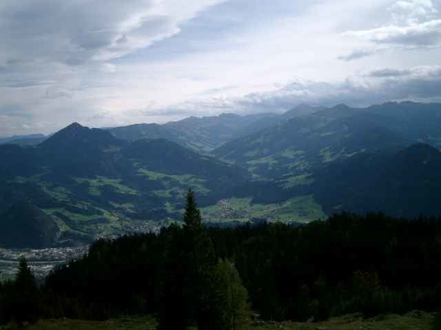
Tour gallery
Tour map and elevation profile
Minimum height 553 m
Maximum height 1592 m
More about the tour author

|
bergkine |
Comments

Die Autobahn München-Innsbruck bei der Ausfahrt Kramsach verlassen weiter zum Sonnwendjoch Sessellift
GPS tracks
Trackpoints-
GPX / Garmin Map Source (gpx) download
-
TCX / Garmin Training Center® (tcx) download
-
CRS / Garmin Training Center® (crs) download
-
Google Earth (kml) download
-
G7ToWin (g7t) download
-
TTQV (trk) download
-
Overlay (ovl) download
-
Fugawi (txt) download
-
Kompass (DAV) Track (tk) download
-
Track data sheet (pdf) download
-
Original file of the author (g7t) download
More about the tour author
|
|
bergkine |
Add to my favorites
Remove from my favorites
Edit tags
Open track
My score
Rate