Login

Forgotten password?

Cookies have to be accepted!
Your browser's cookie functionality is disabled. Please enable this functionality.

Not a member yet?

Register now
Login

Available for registred users only

Log in to use this feature.

Forgotten password?

Cookies have to be accepted!
Your browser's cookie functionality is disabled. Please enable this functionality.

Not a member yet?

Register now
Filter
Categories
Advanced filters
  • Distance (km)
  • Height
Save filters Reset filter

TrackRank

QRCode

Technical data

Distance14,1 km Height709 m Way down703 m Duration00:00 h:m Date04.06.2010
Scores Author Landscape Fun factor Fitness Technique

Statistics

3535 Views Scores 201 Downloads Average
Rate
  • Track data sheet
  • Directions
  • Downloads


Achtung auch im Schwarzwald / Vogesen gibt es Lawinen. Ich gehe nie ohne Ausrüstung (LVS , Sonde , Schaufel und sogar ABS ) auf Tour.

http://www.badische-zeitung.de/suedwest-1/tote-wintersportler-im-schwarzwald-ohne-sonde-und-schaufel-unterwegs--99881789.html
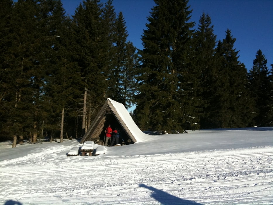
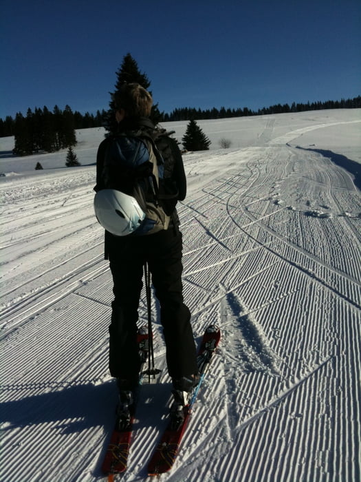
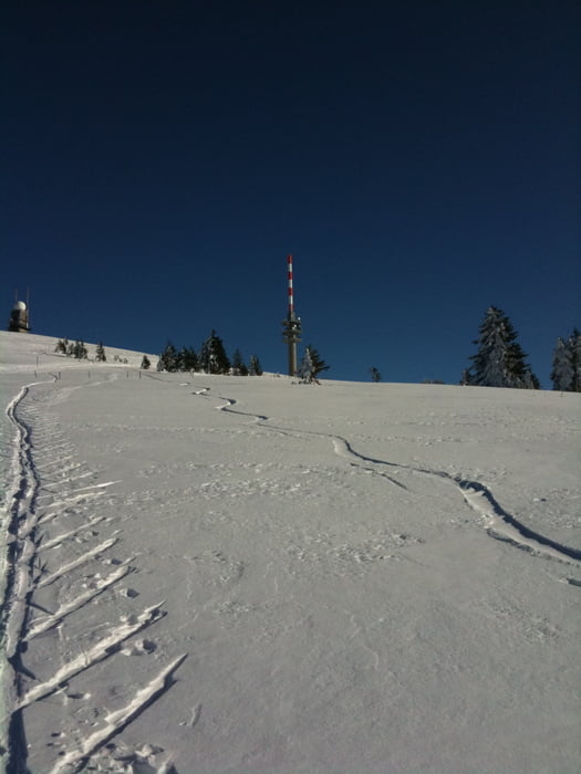
 

Tour gallery

Tour map and elevation profile

  • Open Street Map
  • Google
Minimum height 1075 m Maximum height 1480 m Detailed view

More about the tour author

chorn63
Member since 2009

Send private message

Comments

GPS tracks

Trackpoints
  • GPX / Garmin Map Source (gpx) download
  • TCX / Garmin Training Center® (tcx) download
  • CRS / Garmin Training Center® (crs) download
  • Google Earth (kml) download
  • G7ToWin (g7t) download
  • TTQV (trk) download
  • Overlay (ovl) download
  • Fugawi (txt) download
  • Kompass (DAV) Track (tk) download
  • Track data sheet (pdf) download
  • Original file of the author (gpx) download

More about the tour author

chorn63
Member since 2009

Send private message
Share track
Add to my favorites
Remove from my favorites
Edit tags
My score
Rate
Track: Feldberg Skitour
Type: Ski touring
Distance: 14,1 km
Evaluated on:
Duration:
Day(s)
Hour(s)
Minute(s)
Score: Landscape Fun factor Fitness Technique