


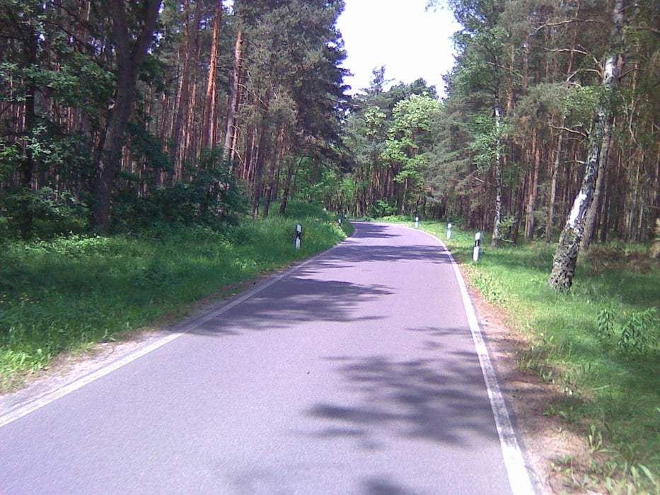
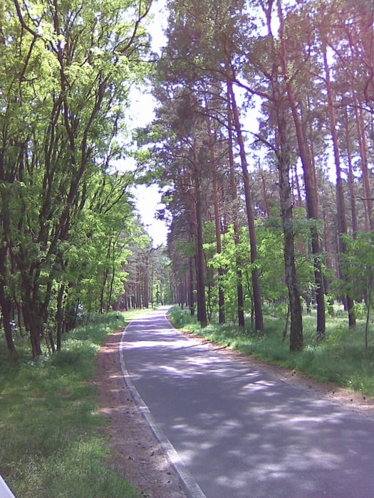
Diese Radtour verläuft auf sehr guten Wegen in wunderschöner Landschaft. Ideal für Kinder. Die Wege sind bis auf einige Ortsdurchfahrten auf meist gutem Asphalt und wenig Verkehr.
Rastmöglichkeiten gibt es genug auf Bänken im Wald.
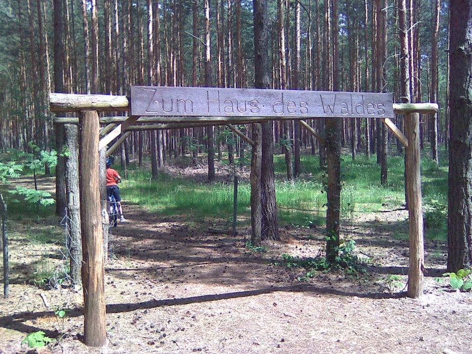
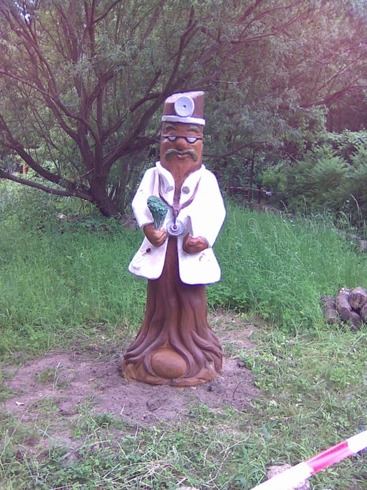
Toll ist das Haus des Waldes. Dort wird gerade ein Aussenbereich gestaltet der den Vergleich mit amerikanischen Nationalparkeinrichtungen nicht zu scheuen braucht. Hoffentlich findet dort auch eine Bewirtschaftung statt. Dann wäre es superoptimal. Bei unserer Tour war der Aussenbereich teils zugänglich aber niemand Zuhause. Schade.
Further information at
http://www.mugv.brandenburg.de/cms/detail.php/lbm1.c.337747.deTour gallery
Tour map and elevation profile
Minimum height 28 m
Maximum height 62 m
More about the tour author
|
|
Pheinz |
Comments

Nach Prieros kommt man leider nur mit dem Auto.
GPS tracks
Trackpoints-
GPX / Garmin Map Source (gpx) download
-
TCX / Garmin Training Center® (tcx) download
-
CRS / Garmin Training Center® (crs) download
-
Google Earth (kml) download
-
G7ToWin (g7t) download
-
TTQV (trk) download
-
Overlay (ovl) download
-
Fugawi (txt) download
-
Kompass (DAV) Track (tk) download
-
Track data sheet (pdf) download
-
Original file of the author (gpx) download
More about the tour author
|
|
Pheinz |
Add to my favorites
Remove from my favorites
Edit tags
Open track
My score
Rate