Login

Forgotten password?

Cookies have to be accepted!
Your browser's cookie functionality is disabled. Please enable this functionality.

Not a member yet?

Register now
Login

Available for registred users only

Log in to use this feature.

Forgotten password?

Cookies have to be accepted!
Your browser's cookie functionality is disabled. Please enable this functionality.

Not a member yet?

Register now
Filter
Categories
Advanced filters
  • Distance (km)
  • Height
Save filters Reset filter

TrackRank

QRCode

Technical data

Distance5,6 km Height396 m Way down417 m Duration02:00 h:m Date10.06.2010
Scores Author User Landscape Fun factor Fitness Technique

Statistics

1182 Views 1 Score 66 Downloads 3.00 Average
Rate
  • Track data sheet
  • Directions
  • Downloads


Kurze Tour mit wenig Höhenunterschied. Der Aufstieg erfolgt über einen Steig, der Rest von Schmelz nach Weissbach über eine Forststraße mit sehr schöner Landschaft im Wasserschutzgebiet.

Trotz der kürze der Tour ist der Steig anspruchsvoll.
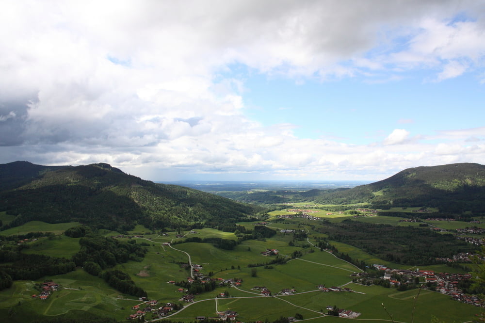
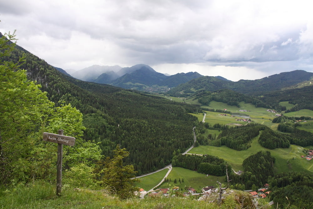
Tour gallery

Tour map and elevation profile

  • Open Street Map
  • Google
Minimum height 724 m Maximum height 1066 m Detailed view

More about the tour author

simonos
Member since 2010

Send private message

Comments

SpieleHolger on 14.09.2011

Kienbergl

Nette kleine Runde, die man auch locker am Nachmittag gehen kann. Der Anstieg ist anstregender als man nach dem ersten, flachen Teil meinen könnte. Dafür entlohnt am Gipfel die tolle Talsicht auf Inzell.

Von Inzell Richtung Ruhpolding. Parkplatz Schmelz.

GPS tracks

Trackpoints
  • GPX / Garmin Map Source (gpx) download
  • TCX / Garmin Training Center® (tcx) download
  • CRS / Garmin Training Center® (crs) download
  • Google Earth (kml) download
  • G7ToWin (g7t) download
  • TTQV (trk) download
  • Overlay (ovl) download
  • Fugawi (txt) download
  • Kompass (DAV) Track (tk) download
  • Track data sheet (pdf) download
  • Original file of the author (gpx) download

More about the tour author

simonos
Member since 2010

Send private message
Share track
Add to my favorites
Remove from my favorites
Edit tags
My score
Rate
Track: Inzeller Kienbergl
Type: Mountain hiking
Distance: 5,6 km
Evaluated on:
Duration:
Day(s)
Hour(s)
Minute(s)
Score: Landscape Fun factor Fitness Technique