Login

Forgot your login?

Cookies have to be accepted!
Your browser's cookie functionality is disabled. Please enable this functionality.

Not a member yet?

Register now
Login

Available for registred users only

Log in to use this feature.

Forgot your login?

Cookies have to be accepted!
Your browser's cookie functionality is disabled. Please enable this functionality.

Not a member yet?

Register now
Filter
Categories
Advanced filters
  • Distance (km)
  • Height
Save filters Reset filter

TrackRank

QRCode

Technical data

Distance50,9 km Height1058 m Way down1046 m Duration03:51 h:m Date19.06.2010
Scores Author Landscape Fun factor Fitness Technique

Statistics

1245 Views Scores 208 Downloads Average
Rate
  • Track data sheet
  • Directions
  • Downloads

Heute bin ich die Tour #10685: HvdH-04 "Kombi-Tour 4 Täler und rund um Grafenberg"

nachgefahren und kann diese Tour wärmstens empfehlen. Die Tour habe ich in Düsseldorf an der Ernst Poensgen Allee Ecke Fahneburgstraße gestartet und bin dann im Uhrzeigersinn gefahren.
 

Aufgezeichnet wurde die Tour mit dem Garmin Oregon 300 und nachbearbeitet mit dem Programm Base Camp.
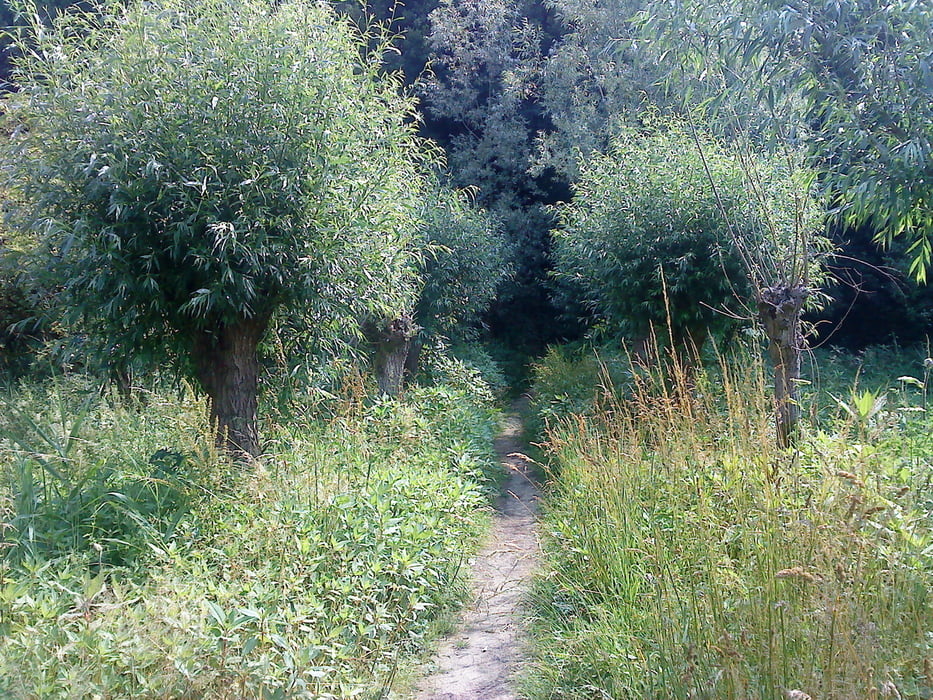
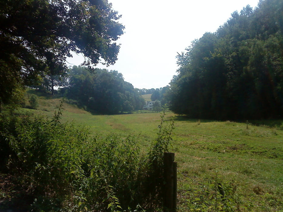
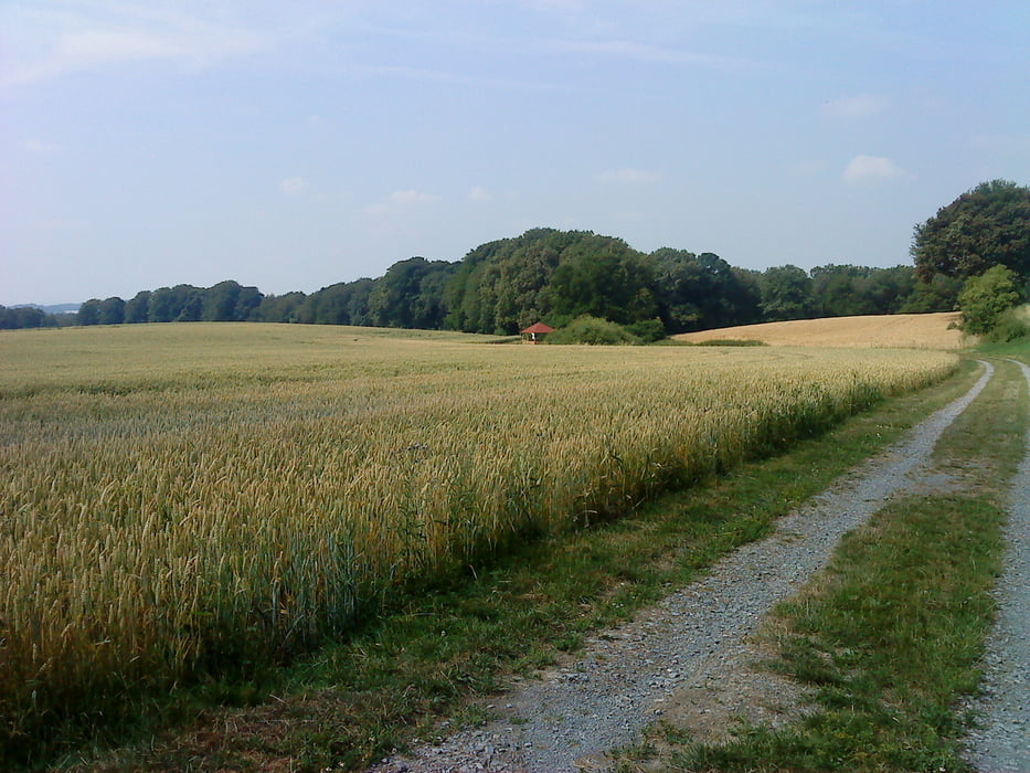


Tour gallery

Tour map and elevation profile

  • Open Street Map
  • Google
Minimum height 46 m Maximum height 155 m Detailed view

More about the tour author

Wollibalou
Member since 2009

Send private message

Comments

GPS tracks

Trackpoints
  • GPX / Garmin Map Source (gpx) download
  • TCX / Garmin Training Center® (tcx) download
  • CRS / Garmin Training Center® (crs) download
  • Google Earth (kml) download
  • G7ToWin (g7t) download
  • TTQV (trk) download
  • Overlay (ovl) download
  • Fugawi (txt) download
  • Kompass (DAV) Track (tk) download
  • Track data sheet (pdf) download
  • Original file of the author (gpx) download

More about the tour author

Wollibalou
Member since 2009

Send private message
Share track
Add to my favorites
Remove from my favorites
Edit tags
My score
Rate
Track: Kombi-Tour 4 Täler und Rund um Grafenberg nachgefahren
Type: Mountain bike
Distance: 50,9 km
Evaluated on:
Duration:
Day(s)
Hour(s)
Minute(s)
Score: Landscape Fun factor Fitness Technique