


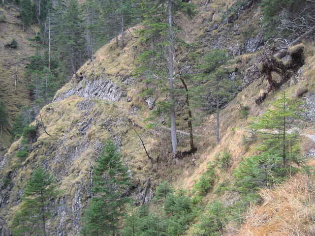
Der direkte Aufstig ab der Ettaler Mühle ist stellenweise ausgesetzt und nur für den geübten und trittsicheren Wanderer geeignet. An manchen Stellen auch gesichert. Beliebtes Gipfelziel in den östlichen Ammergauer Alpen, südlich von Oberammergau. Schöne Tiefblicke auf das Kloster Ettal. Schöne Wanderung.
Tour gallery
Tour map and elevation profile
Minimum height 830 m
Maximum height 1891 m
More about the tour author

|
Comments

A96 München-Garmisch und weiter auf der B2 bis Oberau. Dann rechts Richtung Augsburg/Oberammergau bis Ettal. Dann Richtung Graswang. Der Ausgangspunkt ist der Pakplatz Ettaler Mühle.
GPS tracks
Trackpoints-
GPX / Garmin Map Source (gpx) download
-
TCX / Garmin Training Center® (tcx) download
-
CRS / Garmin Training Center® (crs) download
-
Google Earth (kml) download
-
G7ToWin (g7t) download
-
TTQV (trk) download
-
Overlay (ovl) download
-
Fugawi (txt) download
-
Kompass (DAV) Track (tk) download
-
Track data sheet (pdf) download
-
Original file of the author (g7t) download
More about the tour author
|
|
Add to my favorites
Remove from my favorites
Edit tags
Open track
My score
Rate