


Diese Spur ist hart, in den Plätzen zu finden, also ist ein gutes Diagramm wesentlich. Beginnen Sie, indem Sie sich nach links die Piratus Drahtseilbahn zur Oberseite nehmen, und drehen. Über der ersten Spitze, dann unten zu einem See und dann an in Richtung zu Tateshina-San. Vom theere verließ Umdrehung, vollständig zur Straße.
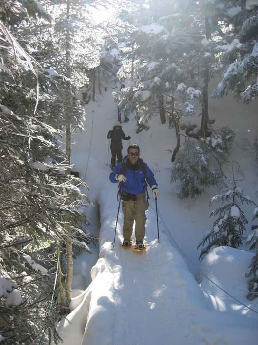
This trail is hard to find in places, so a good map is essential. Start by taking the Piratus ropeway to the top, and turning left. Over the first peak, then down to a lake, and then on towards Tateshina-san. From theere turn left, all the way to the road.
This trail is hard to find in places, so a good map is essential. Start by taking the Piratus ropeway to the top, and turning left. Over the first peak, then down to a lake, and then on towards Tateshina-san. From theere turn left, all the way to the road.
Tour gallery
Tour map and elevation profile
Minimum height 1672 m
Maximum height 2485 m
More about the tour author

|
zangezur |
Comments

Piratus kann mit dem Auto von Tokyo innen erreicht werden herum 4 Stunden oder weniger.
Piratus can be reached by car from Tokyo in around 4 hours or less.
Piratus can be reached by car from Tokyo in around 4 hours or less.
GPS tracks
Trackpoints-
GPX / Garmin Map Source (gpx) download
-
TCX / Garmin Training Center® (tcx) download
-
CRS / Garmin Training Center® (crs) download
-
Google Earth (kml) download
-
G7ToWin (g7t) download
-
TTQV (trk) download
-
Overlay (ovl) download
-
Fugawi (txt) download
-
Kompass (DAV) Track (tk) download
-
Track data sheet (pdf) download
-
Original file of the author (g7t) download
More about the tour author
|
|
zangezur |
Add to my favorites
Remove from my favorites
Edit tags
Open track
My score
Rate