


Start ist der Parkplatz Haincher-Höhe, oder der nächste Parkplatz zweihundert Meter oberhalb.
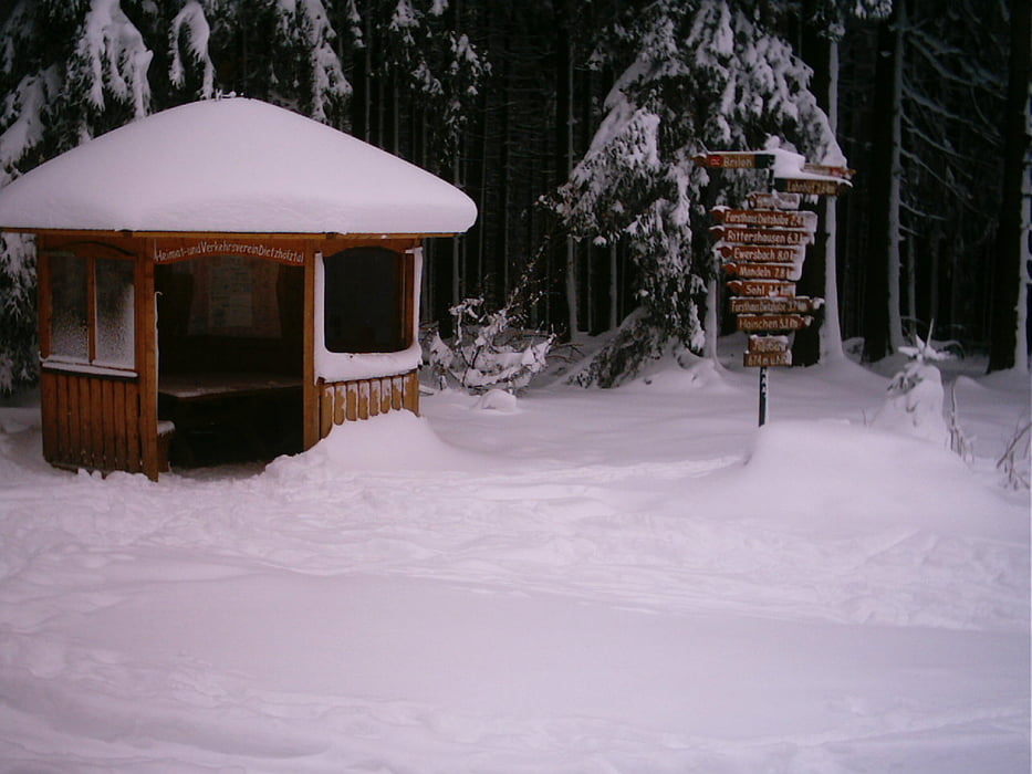
Von dort geht es in Richtung Kaffeebuche, -Herrenberg,-dann Richtung Jagdberg . Kurz vor dem Jagdberg rechts zum Dammweiher. An der Gabelung Dammweiher rechts zum Sohl. Dort kann in der Skihütte am Wochenende etwas flüssiges oder festes zu sich genommen werden. Weiter geht’s fast eben zur Skihütte Eichholzkopf die ebenfalls am Wochenende bewirtschaftet ist. Zurück bis Dammweiher auf der gleichen Spur, dann ein kurzer knackiger Anstieg zum Jagdberg. Weiter zum Heiligenborn wo auch ein Einstieg in die Loipe ist, dann Richtung Lahnhof bis zum Parkplatz Schulplatz,-weiter Jagdberg , Haincher-Höhe.Übernachtung in Hainchen www.fewo-kraemer.de
Von dort geht es in Richtung Kaffeebuche, -Herrenberg,-dann Richtung Jagdberg . Kurz vor dem Jagdberg rechts zum Dammweiher. An der Gabelung Dammweiher rechts zum Sohl. Dort kann in der Skihütte am Wochenende etwas flüssiges oder festes zu sich genommen werden. Weiter geht’s fast eben zur Skihütte Eichholzkopf die ebenfalls am Wochenende bewirtschaftet ist. Zurück bis Dammweiher auf der gleichen Spur, dann ein kurzer knackiger Anstieg zum Jagdberg. Weiter zum Heiligenborn wo auch ein Einstieg in die Loipe ist, dann Richtung Lahnhof bis zum Parkplatz Schulplatz,-weiter Jagdberg , Haincher-Höhe.Übernachtung in Hainchen www.fewo-kraemer.de
Tour gallery
Tour map and elevation profile
Minimum height 541 m
Maximum height 683 m
More about the tour author

|
Comments

A45 Ausfahrt Wilnsdorf / Richtung Wilnsdorf-Rudersdorf-Hainchen. In Hainchen Richtung Dietzhölztal.
GPS tracks
Trackpoints-
GPX / Garmin Map Source (gpx) download
-
TCX / Garmin Training Center® (tcx) download
-
CRS / Garmin Training Center® (crs) download
-
Google Earth (kml) download
-
G7ToWin (g7t) download
-
TTQV (trk) download
-
Overlay (ovl) download
-
Fugawi (txt) download
-
Kompass (DAV) Track (tk) download
-
Track data sheet (pdf) download
-
Original file of the author (gpx) download
More about the tour author
|
|
Add to my favorites
Remove from my favorites
Edit tags
Open track
My score
Rate