


Start: Annweiler
Ziel: Hohenberg
Ende: Annweiler
Los gehts in Annweiler. Wir fahren den Burgenring hoch und folgen dann dem Burgenradweg bis zum Zollstock.
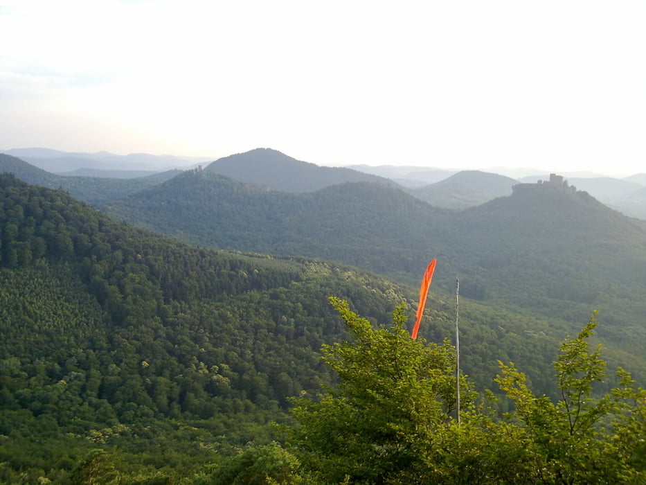
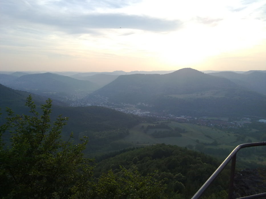
Am Zollstock beginnt der Anstieg zum Hohenberg. Hier fahren wir kurz den Wanderweg und nehmen dann den Forstweg bis hoch zum Gleitschrimstartplatz. Hier gibts eine spitzen Aussicht über Annweiler.
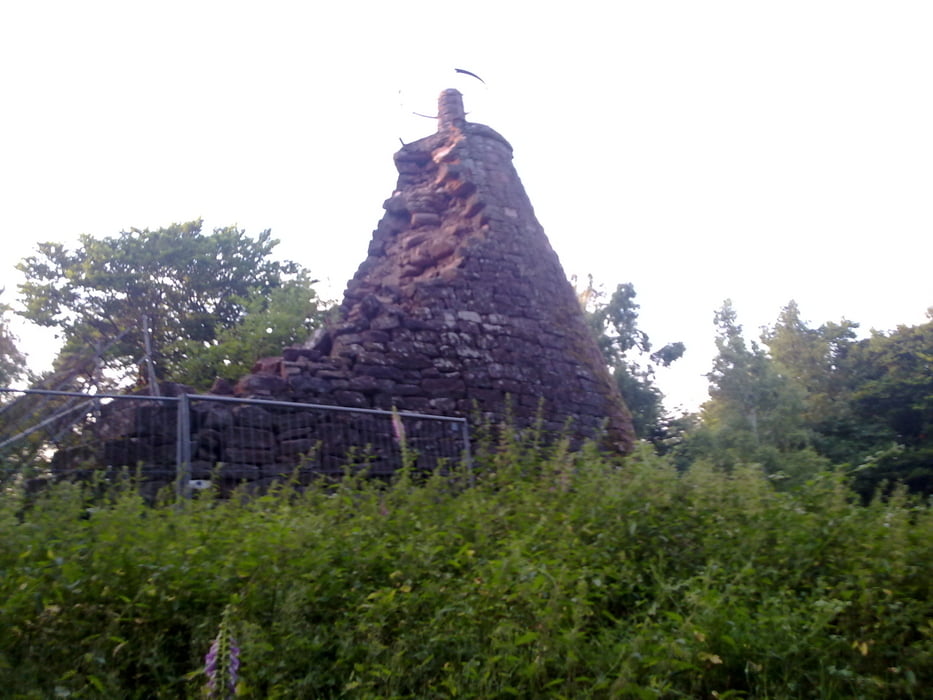
Von der Hohenbergturm-Ruine bringt uns dann der Trail (schwarzer Punkt) wieder zurück zum Zollstock. Vor dort aus nehmen wir dann einen anderen Forstweg zurück nach Annweiler.
Tour gallery


Tour map and elevation profile
Minimum height 226 m
Maximum height 609 m
More about the tour author
|
|
Schildbuerger |
Comments

Abfahrt B10 aus Richtung Landau(Pfalz) - Annweiler Ost.
Abfahrt B10 aus Richtung Primasens - Annweiler West.
Parkmöglichkeiten:
Parkmöglichkeiten sind ausreichend Ausgeschildert.
ODER
Anreise per Zug zum Bahnhof Annweiler
GPS tracks
Trackpoints-
GPX / Garmin Map Source (gpx) download
-
TCX / Garmin Training Center® (tcx) download
-
CRS / Garmin Training Center® (crs) download
-
Google Earth (kml) download
-
G7ToWin (g7t) download
-
TTQV (trk) download
-
Overlay (ovl) download
-
Fugawi (txt) download
-
Kompass (DAV) Track (tk) download
-
Track data sheet (pdf) download
-
Original file of the author (gpx) download
More about the tour author
|
|
Schildbuerger |
Add to my favorites
Remove from my favorites
Edit tags
Open track
My score
Rate