
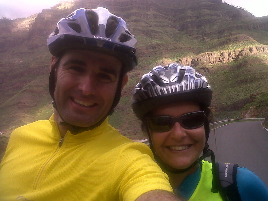

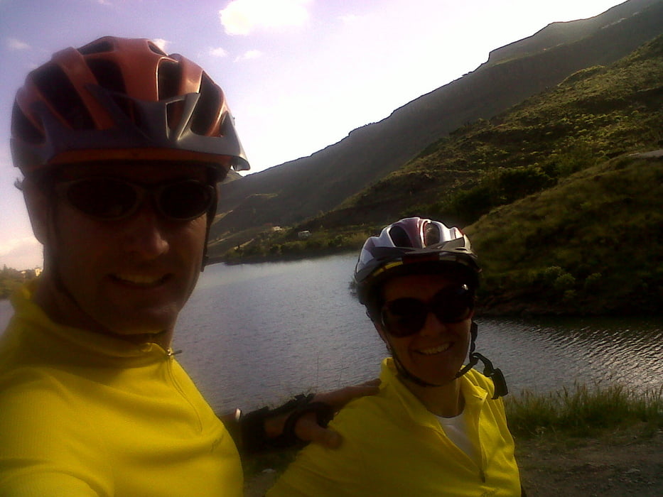
Ruta por carretera abierta al trafico(recomendada para ciclistas) en buen estado.Ligera ascencion para descender por la misma carretera.Poco trafico,muchos ciclistas.Ruta bonita por la belleza paisagistica.
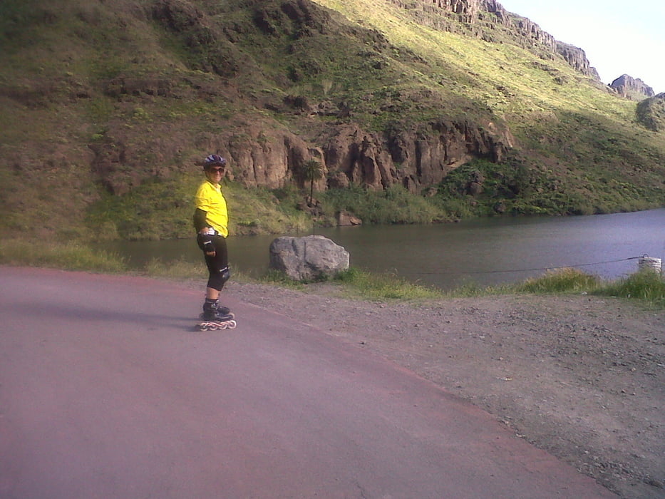
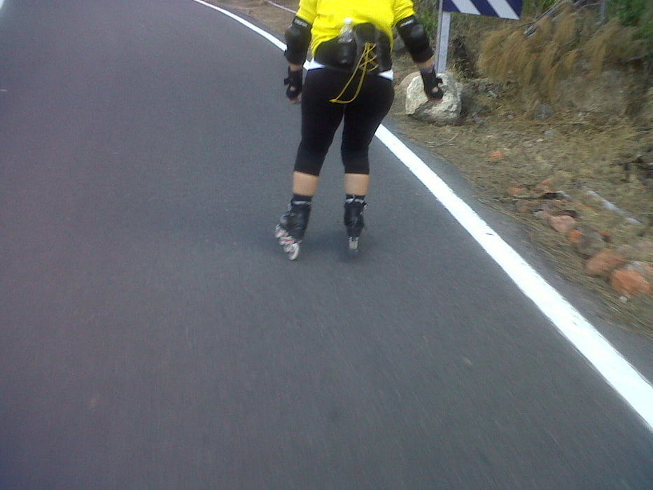
Cuidado con los automovilistas ya que no estan acostubrados a ver patinadores por la zona.
.La ruta son 8,5 kilometros subiendo por la carretera,10,5 hasta la presa,para luego bajar.La pendiente es muy ligera ,velocidad de subida entre 15 y 20km/h y bajada hasta 35 km/h com mis patines de fittnes.
Si tienen técnica en ascenso y descenso se puede subir a la presa, y continuar por una estrecha carretera con unos paisajes que merece la pena ver.Para este tramo es conveniente llevar taco de frenado.
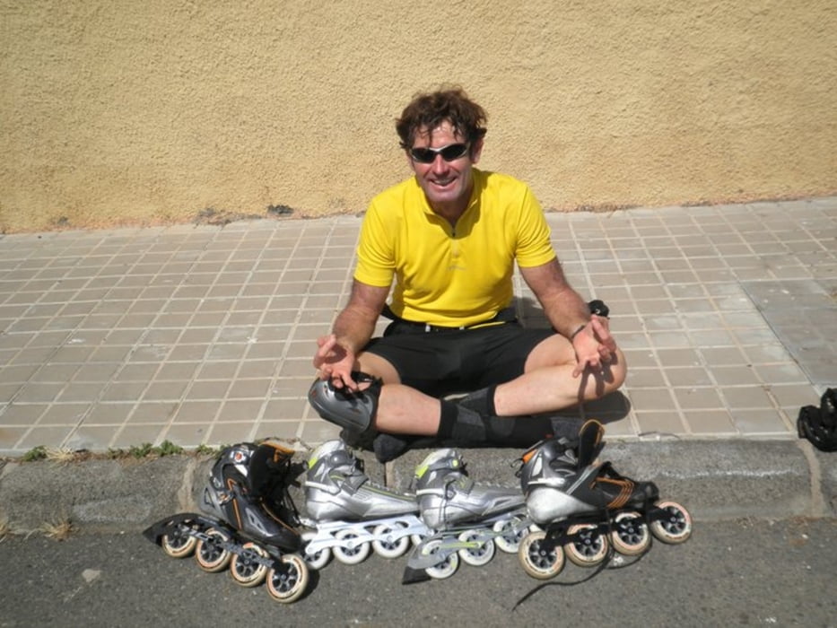
Tour gallery
Tour map and elevation profile
Minimum height 71 m
Maximum height 351 m
More about the tour author
|
|
madeheimclaudio |
Comments

Dejar coche en el parking del Parque acuatico. Tras unos metros,tomar carretera hacia la derecha,donde cominza la carretera a ayagaures.
GPS tracks
Trackpoints-
GPX / Garmin Map Source (gpx) download
-
TCX / Garmin Training Center® (tcx) download
-
CRS / Garmin Training Center® (crs) download
-
Google Earth (kml) download
-
G7ToWin (g7t) download
-
TTQV (trk) download
-
Overlay (ovl) download
-
Fugawi (txt) download
-
Kompass (DAV) Track (tk) download
-
Track data sheet (pdf) download
-
Original file of the author (tcx) download
More about the tour author
|
|
madeheimclaudio |
Add to my favorites
Remove from my favorites
Edit tags
Open track
My score
Rate