


Streckenorte:
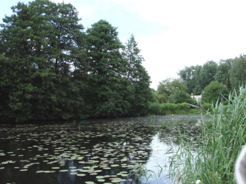
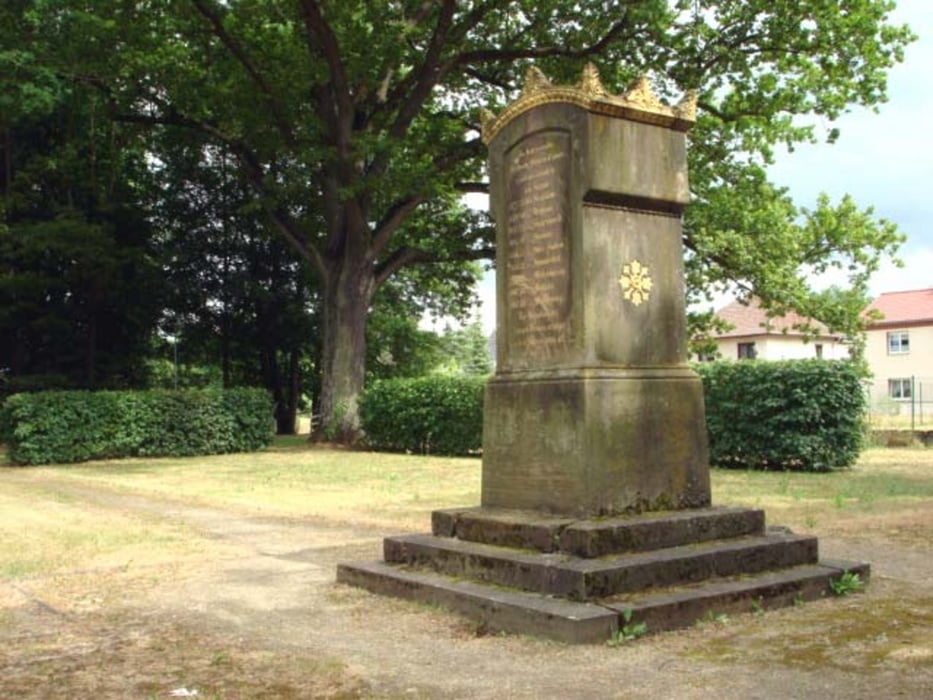
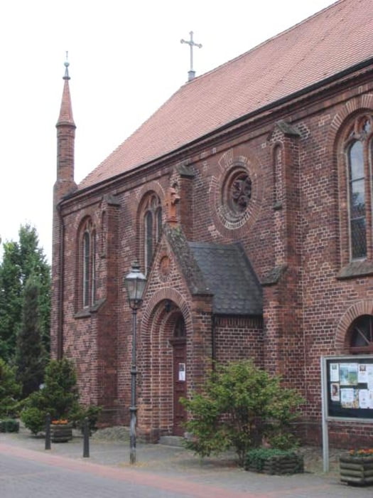
Brunnenplatz Frankfurt (Oder) - K.-Marx-Str. - Oderstr. - Oderpromenade - Ziegenwerder - Carthausplatz - Gr.Müllroser Str. - Puschkinstr. - Damaschkeweg - Langer Grund - Leonowstr. - Kopernikusstr. - B112 - Lossow - Br.-Finkenheerd - Friedrich-Wilhelm-Kanal - Gr. Lindow - Schlaubehammer - Helenesee - Güldendorf - Buschmühlenweg - Carthausplatz
Die Straßen- und Wegequalität ist durchgehend gut bis sehr gut. Unterwegs kommt man an Gasthäusern vorbei, die auch Eis anbieten (z.B. Cafe Sommer in Br.-Finkenheerd, Waldschänke in Schlaubehammer). Eine Sehenswürdigkeit ist u.a. der Japanische Garten am südlichen Ortsausgang von Br.-Finkenheerd.
Auf der Strecke am Friedrich-Wilhelm-Kanal sind an Sonn- und Feiertagen mitunter viele Spaziergänger unterwegs.
Webseiten:
Frankfurt (Oder): www.frankfurt-oder-tourist.de
Bonsaigarten: www.japanische-gartenwelt.de
Cafe Sommer: www.sommerseiscafe.de
Helenesee: www.helenesee-ag.de
Further information at
http://www.rotofo.de/fitnessTour gallery
Tour map and elevation profile
Minimum height -10 m
Maximum height 53 m
More about the tour author
|
|
celsius |
Comments

Frankfurt (Oder) ist mit der Bahn erreichbar. Der Brunnenplatz im Zentrum von Frankfurt (Oder) ist leicht zu finden. Er liegt direkt neben dem Oderturm.
Am Carthausplatz im Süden von Frankfurt endet die Radtour. Von dort ist der Bahnhof nur einen knappen Kilometer entfernt.
GPS tracks
Trackpoints-
GPX / Garmin Map Source (gpx) download
-
TCX / Garmin Training Center® (tcx) download
-
CRS / Garmin Training Center® (crs) download
-
Google Earth (kml) download
-
G7ToWin (g7t) download
-
TTQV (trk) download
-
Overlay (ovl) download
-
Fugawi (txt) download
-
Kompass (DAV) Track (tk) download
-
Track data sheet (pdf) download
-
Original file of the author (gpx) download
More about the tour author
|
|
celsius |
Add to my favorites
Remove from my favorites
Edit tags
Open track
My score
Rate