Login

Forgotten password?

Cookies have to be accepted!
Your browser's cookie functionality is disabled. Please enable this functionality.

Not a member yet?

Register now
Login

Available for registred users only

Log in to use this feature.

Forgotten password?

Cookies have to be accepted!
Your browser's cookie functionality is disabled. Please enable this functionality.

Not a member yet?

Register now
Filter
Categories
Advanced filters
  • Distance (km)
  • Height
Save filters Reset filter

TrackRank

QRCode

Technical data

Distance104,1 km Height2349 m Way down2770 m Duration2 days 0 h Date08.07.2010
Scores Author Landscape Fun factor Fitness Technique

Statistics

2179 Views 2 Scores 112 Downloads 4.50 Average
Rate
  • Track data sheet
  • Directions
  • Downloads

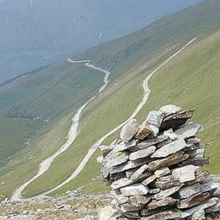
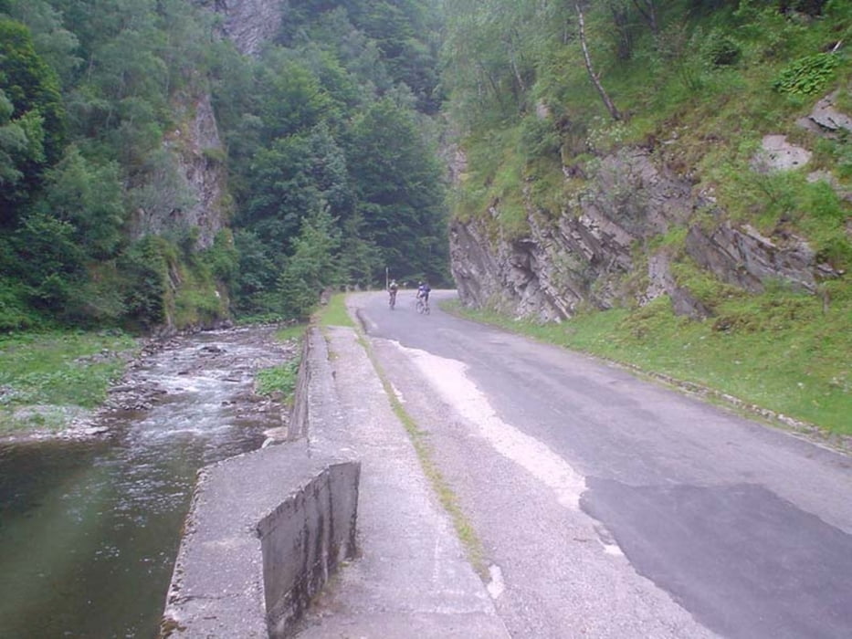
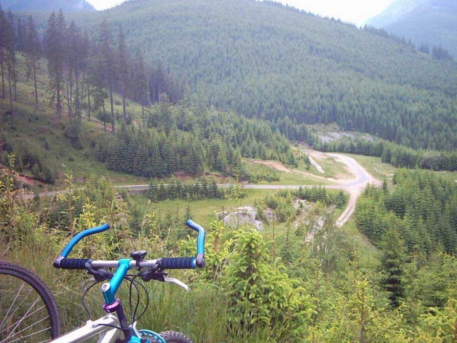
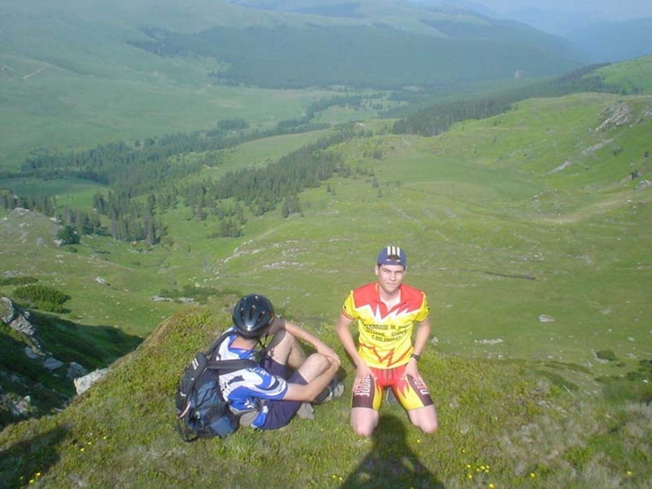
In 2004 Transalpina nu intrase inca in asfaltare. Drumul era in marea majoritate drum de munte, cu "numeroase izvoare". Peisajul a fost extraordinar.

In prima zi am plecat din Petrosani si am urcat pana la Obarsia Lotrului. Acolo am facut pauza de masa si apoi am plecat spre Ranca. Pe ploaie si pe semi intuneric am coborat de pe Papusa spre Ranca, unde ne-am si oprit.

A doua zi, am coborat in Novaci, si de acolo, pe soselele patriei pana la Tg. Carbunesti.

Super!!!

Tour gallery

Tour map and elevation profile

  • Open Street Map
  • Google
Minimum height 193 m Maximum height 2128 m Detailed view

More about the tour author

ungureanub
Member since 2008

Send private message

Comments

conualfy on 24.08.2011

This is only partial Transalpina

Transalpina is actually the road from Novaci to Sebes, crossing the whole Carpathians and the highest asphalted road in Romania (higher than TransFagarasan).
Salomon on 14.10.2012

Transalpina

schöne Strecke, ab diesem Jahr komplett geteert, gut zu fahren mit PKW. Höchsten Spassfaktor mit Motorrad von Süd nach Nord.

Petrosani - Obarsia Lotrului - Ranca - Novaci - Tg Carbunesti

GPS tracks

Trackpoints
  • GPX / Garmin Map Source (gpx) download
  • TCX / Garmin Training Center® (tcx) download
  • CRS / Garmin Training Center® (crs) download
  • Google Earth (kml) download
  • G7ToWin (g7t) download
  • TTQV (trk) download
  • Overlay (ovl) download
  • Fugawi (txt) download
  • Kompass (DAV) Track (tk) download
  • Track data sheet (pdf) download
  • Original file of the author (gpx) download

More about the tour author

ungureanub
Member since 2008

Send private message
Share track
Add to my favorites
Remove from my favorites
Edit tags
My score
Rate
Track: TransAlpina
Type: Mountain bike
Distance: 104,1 km
Evaluated on:
Duration:
Day(s)
Hour(s)
Minute(s)
Score: Landscape Fun factor Fitness Technique