


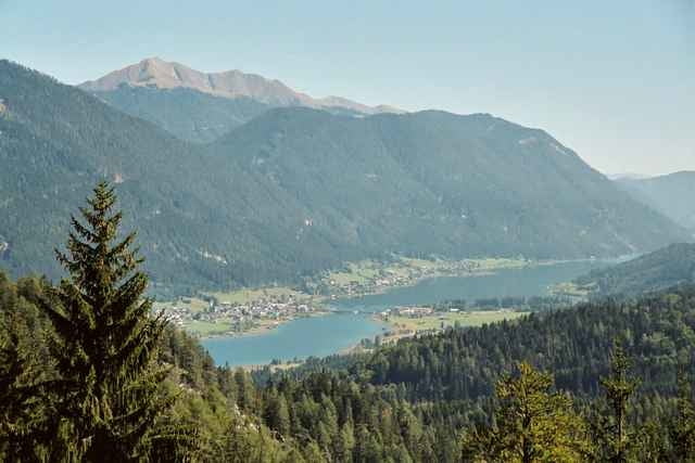
Start vor dem Landhotel Die Forelle. Die ersten 2 Kilometer geht`s entlang des Weissenseesüdufers. Via Rotn`s Mühle und Wunderbaum hinauf bis auf die Kreuzberghöhe. Ein rasanter Downhill über die alte Kreuzbergstraße führt uns bis Weißbriach. Beim Schlecker geht es rechts ab - hinein in den Gösseringgraben. Entlang des Gösseringflusses fährt man stetig bergauf bis in die Pfarreben. Über die Weisacher Alm und den Plattenweg kehren wir zurück auf den Kreuzberg. Über einen kurzen Singletrail fahren wir ab bis zum Wunderbaum und dann weiter nach Hause - zum Weissenseeufer.
Further information at
http://www.forellemueller.atTour gallery
Tour map and elevation profile
Minimum height 782 m
Maximum height 1248 m
More about the tour author

|
forelle |
Comments

Über Spittal - Greifenburg - Landhotel Die Forelle - neben der evang. Kirche in Techendorf.
GPS tracks
Trackpoints-
GPX / Garmin Map Source (gpx) download
-
TCX / Garmin Training Center® (tcx) download
-
CRS / Garmin Training Center® (crs) download
-
Google Earth (kml) download
-
G7ToWin (g7t) download
-
TTQV (trk) download
-
Overlay (ovl) download
-
Fugawi (txt) download
-
Kompass (DAV) Track (tk) download
-
Track data sheet (pdf) download
-
Original file of the author (g7t) download
More about the tour author
|
|
forelle |
Add to my favorites
Remove from my favorites
Edit tags
Open track
My score
Rate