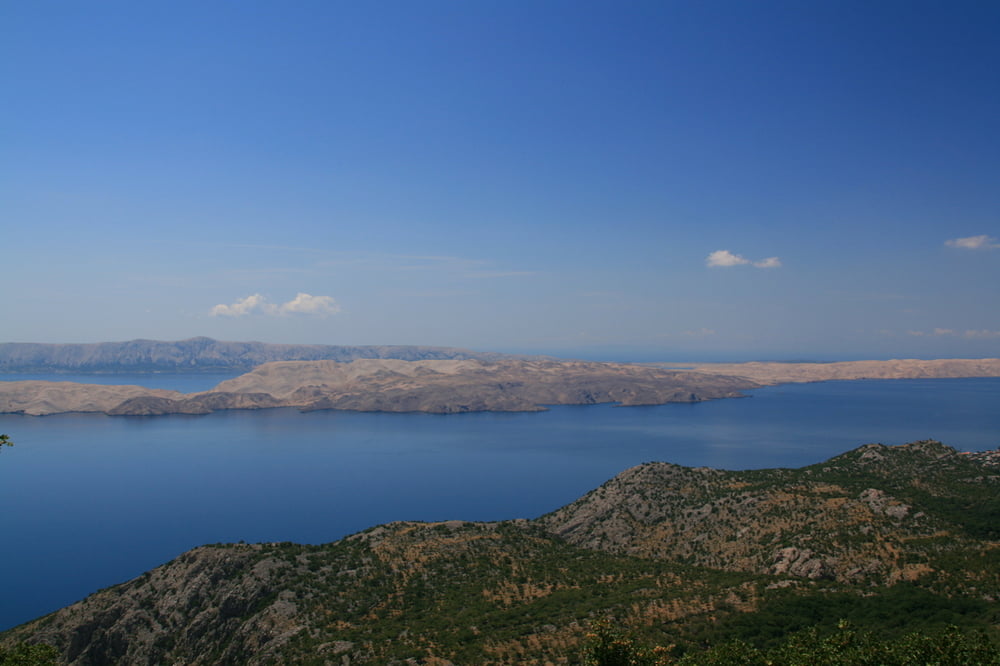
Von Mandre aus geht es zurerst auf einem Bergrücken mit Blick auf die schöne Bucht Girenica, dann durch Felder und zuletzt auf einem schmalen Pfad nach Gajac, einer Bungalow Siedlung vor Novalja. Von Novalja nach Stara Novalja nehmen wir die wenig befahrene Strasse, die an der alten Fährstation ended. Von hier aus geht eine Schotterstrasse weiter durch einsame, trockene und steinige Felder mit Blick auf Meer und Velebit bis wir die Strasse erreichen, die vom neuen Fährhafen kommt. Von da aus dann wieder über fruchtbare Felder zurück nach Mandre.
Tour map and elevation profile
Comments

Vom Norden über die Küstenstrasse Richtung Zadar. Mit der Fähre dann auf die Insel Pag. Von da aus direkt nach Mandre. Von Süden (z.B. Zadar) direkt über die Brücke auf die Insel Pag und bei Simuni Richtung Mandre abfahren.
GPS tracks
Trackpoints-
GPX / Garmin Map Source (gpx) download
-
TCX / Garmin Training Center® (tcx) download
-
CRS / Garmin Training Center® (crs) download
-
Google Earth (kml) download
-
G7ToWin (g7t) download
-
TTQV (trk) download
-
Overlay (ovl) download
-
Fugawi (txt) download
-
Kompass (DAV) Track (tk) download
-
Track data sheet (pdf) download
-
Original file of the author (gpx) download


