


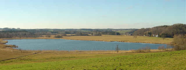
Als trostlose Gegend wurde um die Jahrhundertwende der 20 Quadratkilometer grosse Landstrich im oberen Innviertel bezeichnet. Durch riesige Entwässerungskanäle wollte man das grösste Moorgebiet Österreichs urbar machen, doch enorme Kosten führten bald zum Scheitern dieses Vorhabens. Das Moor hat gesiegt, und heute wird das Sumpfgebiet vielleicht mit Stolz als Rarität ersten Ranges gepriesen. Viele immer seltener werdende Vogelarten finden Schutz und ideale Brutplätze im urwaldähnlichen Moorareal.
Tour gallery
Tour map and elevation profile
Minimum height 297 m
Maximum height 440 m
More about the tour author

|
Comments

Autobahn - Ibmabfahrt Mondsee - Mattighofen - Eggelsberg
GPS tracks
Trackpoints-
GPX / Garmin Map Source (gpx) download
-
TCX / Garmin Training Center® (tcx) download
-
CRS / Garmin Training Center® (crs) download
-
Google Earth (kml) download
-
G7ToWin (g7t) download
-
TTQV (trk) download
-
Overlay (ovl) download
-
Fugawi (txt) download
-
Kompass (DAV) Track (tk) download
-
Track data sheet (pdf) download
More about the tour author
|
|
Add to my favorites
Remove from my favorites
Edit tags
Open track
My score
Rate