Login

Forgotten password?

Cookies have to be accepted!
Your browser's cookie functionality is disabled. Please enable this functionality.

Not a member yet?

Register now
Login

Available for registred users only

Log in to use this feature.

Forgotten password?

Cookies have to be accepted!
Your browser's cookie functionality is disabled. Please enable this functionality.

Not a member yet?

Register now
Filter
Categories
Advanced filters
  • Distance (km)
  • Height
Save filters Reset filter

TrackRank

QRCode

Technical data

Distance32,4 km Height87 m Way down96 m Duration02:30 h:m Date14.08.2010
Scores Author User Landscape Fun factor Fitness Technique

Statistics

1466 Views 1 Score 147 Downloads 5.00 Average
Rate
  • Track data sheet
  • Directions
  • Downloads

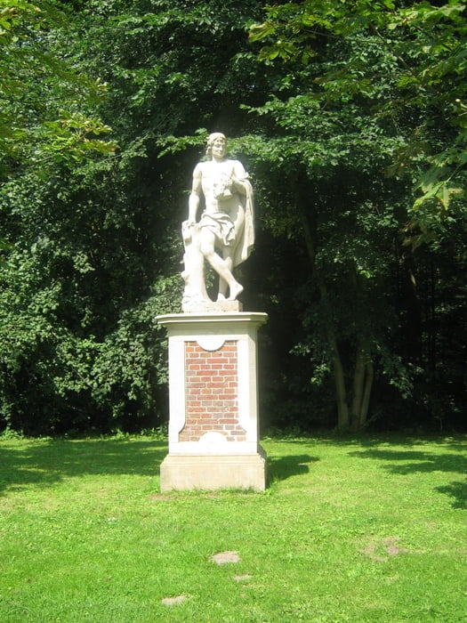
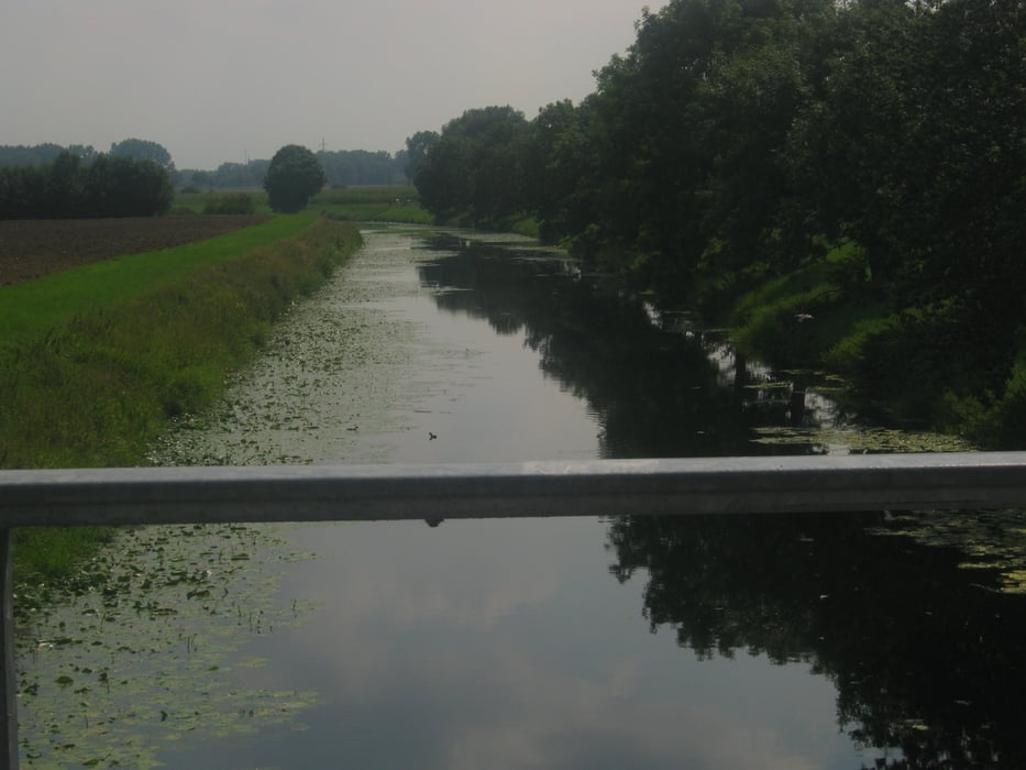
Die Tour beginnt am Parklatz vom Temscher See und folgt dem Fahrradweg No 3. Die Wege sind gut Asphaltiert und gut befahrbar. Die Route ist nicht anstrengend. Höhepunkt ist das Schloss Nordkirchen.

Tour gallery

Tour map and elevation profile

  • Open Street Map
  • Google
Minimum height 48 m Maximum height 74 m Detailed view

More about the tour author

tourendeddy
Member since 2006

Send private message

Comments

GPS tracks

Trackpoints
  • GPX / Garmin Map Source (gpx) download
  • TCX / Garmin Training Center® (tcx) download
  • CRS / Garmin Training Center® (crs) download
  • Google Earth (kml) download
  • G7ToWin (g7t) download
  • TTQV (trk) download
  • Overlay (ovl) download
  • Fugawi (txt) download
  • Kompass (DAV) Track (tk) download
  • Track data sheet (pdf) download
  • Original file of the author (gpx) download

More about the tour author

tourendeddy
Member since 2006

Send private message
Share track
Add to my favorites
Remove from my favorites
Edit tags
My score
Rate
Track: Pättkestour 3, Nordirchen
Type: Bicycle tours
Distance: 32,4 km
Evaluated on:
Duration:
Day(s)
Hour(s)
Minute(s)
Score: Landscape Fun factor Fitness Technique