
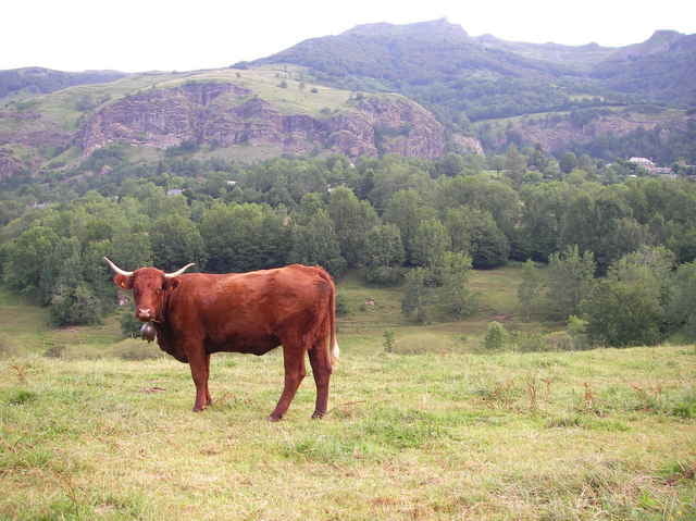

Massif Central
. . a soil cut up with deep ravines, crossed in every way by lofty walls of lava, and furrowed by numerous torrents.
. . a soil cut up with deep ravines, crossed in every way by lofty walls of lava, and furrowed by numerous torrents.
Further information at
http://france-for-visitors.com/massif-central/index.htmlTour gallery
Tour map and elevation profile
Minimum height 828 m
Maximum height 939 m
More about the tour author

|
uhn |
Comments

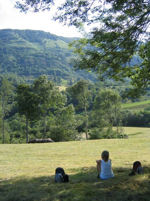
Starting point: At the church in the village Le Falgoux.
Easy walk on good paths.
Easy walk on good paths.
GPS tracks
Trackpoints-
GPX / Garmin Map Source (gpx) download
-
TCX / Garmin Training Center® (tcx) download
-
CRS / Garmin Training Center® (crs) download
-
Google Earth (kml) download
-
G7ToWin (g7t) download
-
TTQV (trk) download
-
Overlay (ovl) download
-
Fugawi (txt) download
-
Kompass (DAV) Track (tk) download
-
Track data sheet (pdf) download
-
Original file of the author (gpx) download
More about the tour author
|
|
uhn |
Add to my favorites
Remove from my favorites
Edit tags
Open track
My score
Rate