Login

Forgot your login?

Cookies have to be accepted!
Your browser's cookie functionality is disabled. Please enable this functionality.

Not a member yet?

Register now
Login

Available for registred users only

Log in to use this feature.

Forgot your login?

Cookies have to be accepted!
Your browser's cookie functionality is disabled. Please enable this functionality.

Not a member yet?

Register now
Filter
Categories
Advanced filters
  • Distance (km)
  • Height
Save filters Reset filter

TrackRank

QRCode

Technical data

Distance20,3 km Height987 m Way down958 m Duration02:30 h:m Date15.08.2010
Scores Author Landscape Fun factor Fitness Technique

Statistics

2441 Views Scores 66 Downloads Average
Rate
  • Track data sheet
  • Directions
  • Downloads

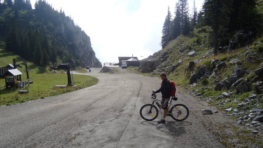
Start ist der Parkplatz  Wildpark Grünau.

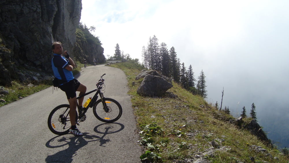
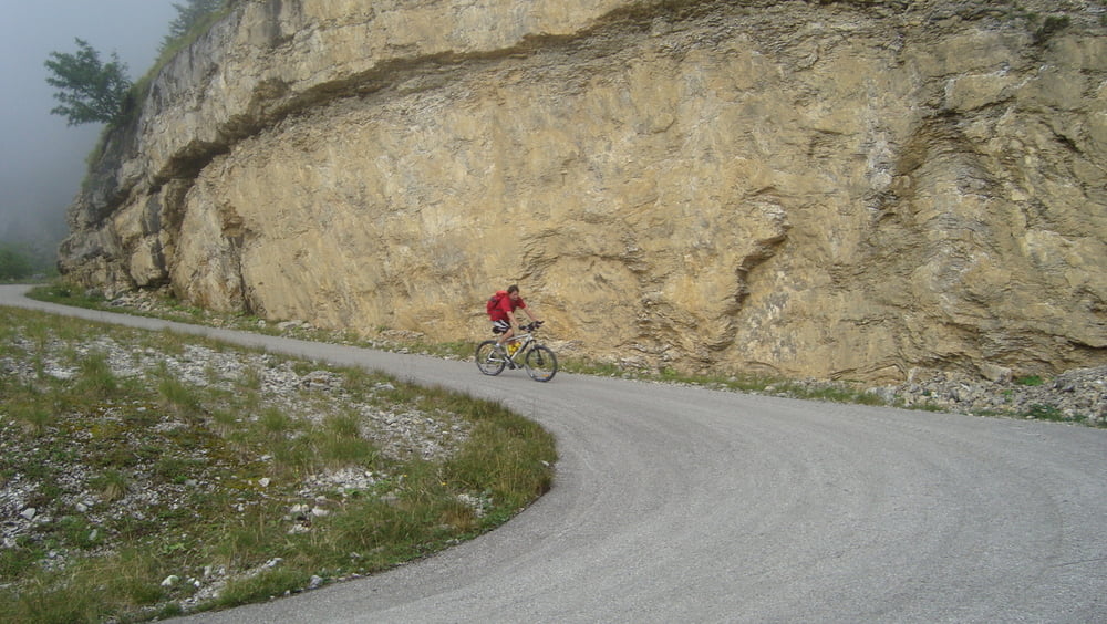
Von der Absperrung nicht abschrecken lassen, einfach das Rad rüberheben. Auf Asphalt geht es 10km 1000hm stetig Bergauf.  Oben hat man die Möglichkeit entweder gleich bei der Kasbergalm oder ein wenig weiter bei der  Sepp-Huber-Hütte einzukehren.


Mehr Bilder:   seppdepp.heim.at

Tour gallery

Tour map and elevation profile

  • Open Street Map
  • Google
Minimum height 564 m Maximum height 1518 m Detailed view

More about the tour author

Atzbach
Member since 2009

Send private message

Comments

GPS tracks

Trackpoints
  • GPX / Garmin Map Source (gpx) download
  • TCX / Garmin Training Center® (tcx) download
  • CRS / Garmin Training Center® (crs) download
  • Google Earth (kml) download
  • G7ToWin (g7t) download
  • TTQV (trk) download
  • Overlay (ovl) download
  • Fugawi (txt) download
  • Kompass (DAV) Track (tk) download
  • Track data sheet (pdf) download
  • Original file of the author (gpx) download

More about the tour author

Atzbach
Member since 2009

Send private message
Share track
Add to my favorites
Remove from my favorites
Edit tags
My score
Rate
Track: Kasberg
Type: Mountain bike
Distance: 20,3 km
Evaluated on:
Duration:
Day(s)
Hour(s)
Minute(s)
Score: Landscape Fun factor Fitness Technique