Login

Forgot your login?

Cookies have to be accepted!
Your browser's cookie functionality is disabled. Please enable this functionality.

Not a member yet?

Register now
Login

Available for registred users only

Log in to use this feature.

Forgot your login?

Cookies have to be accepted!
Your browser's cookie functionality is disabled. Please enable this functionality.

Not a member yet?

Register now
Filter
Categories
Advanced filters
  • Distance (km)
  • Height
Save filters Reset filter

TrackRank

QRCode

Technical data

Distance14,9 km Height86 m Way down61 m Duration03:30 h:m Date25.08.2010
Scores Author Landscape Fun factor Fitness Technique

Statistics

1679 Views Scores 127 Downloads Average
Rate
  • Track data sheet
  • Directions
  • Downloads

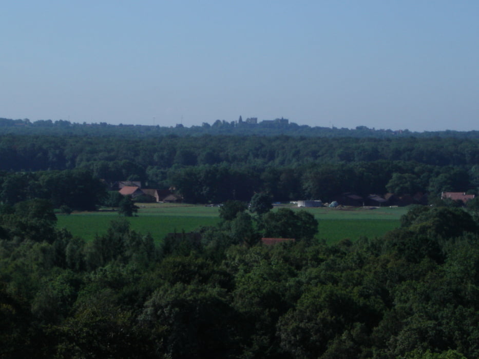
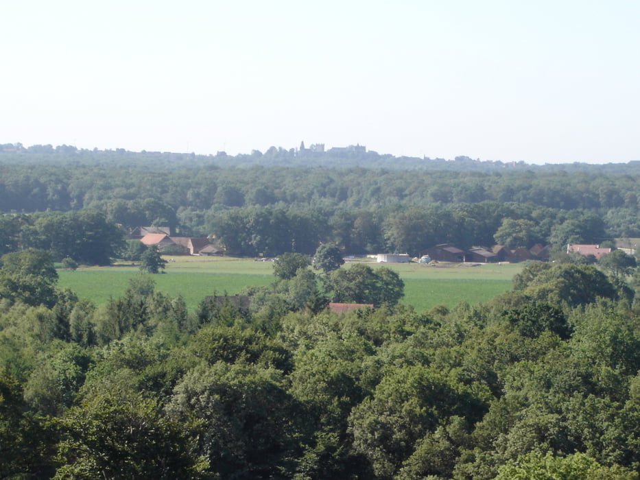
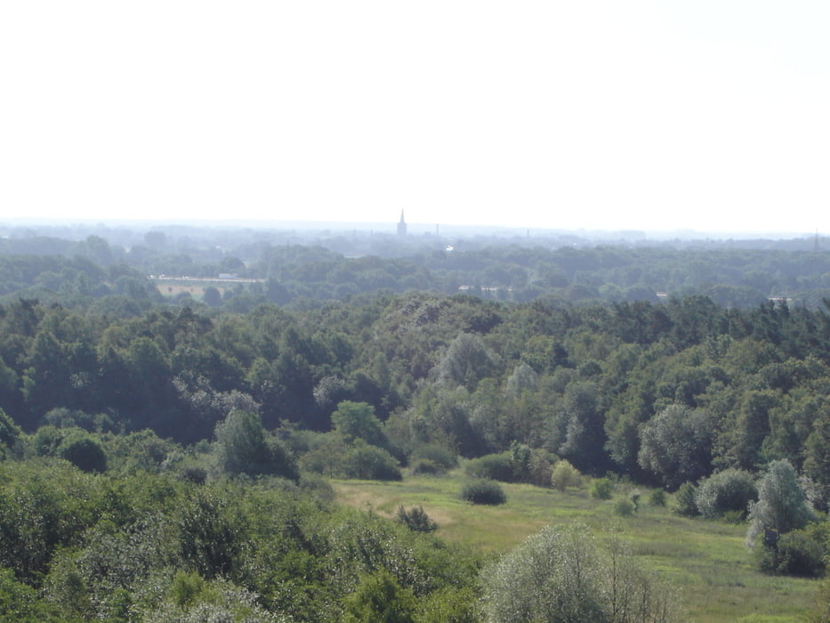
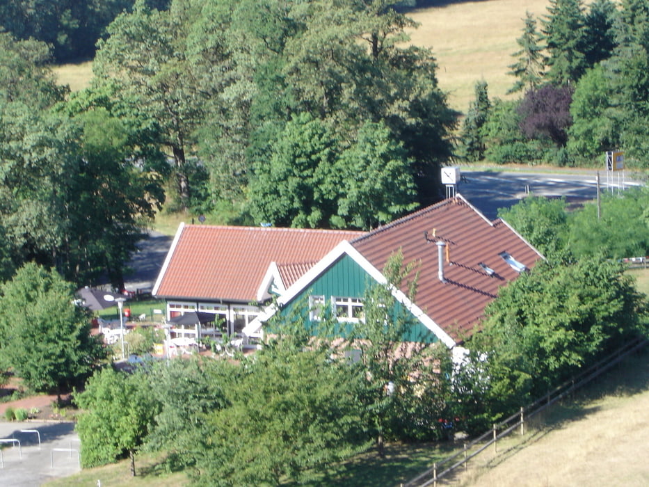
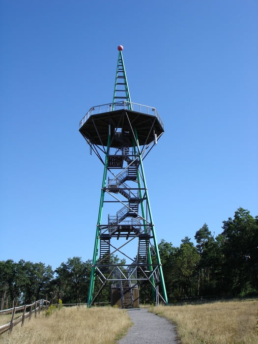
Bei dieser Wanderung geht man auf Forst- und Wanderwegen durch den Bentheimer Wald. Im weiteren Verlauf dann auf schmalen befestigten Straßen. Der letzte Teil führt auf schmalen Wanderwegen der Bahnlinie entlang zurück zum Ausgangspunkt.
 

Tour gallery

Tour map and elevation profile

  • Open Street Map
  • Google
Minimum height 18 m Maximum height 58 m Detailed view

More about the tour author

rödivomsee
Member since 2008

Send private message

Comments

Parkplatz Bentheimer Mineral Therme am Bade 1

GPS tracks

Trackpoints
  • GPX / Garmin Map Source (gpx) download
  • TCX / Garmin Training Center® (tcx) download
  • CRS / Garmin Training Center® (crs) download
  • Google Earth (kml) download
  • G7ToWin (g7t) download
  • TTQV (trk) download
  • Overlay (ovl) download
  • Fugawi (txt) download
  • Kompass (DAV) Track (tk) download
  • Track data sheet (pdf) download
  • Original file of the author (gpx) download

More about the tour author

rödivomsee
Member since 2008

Send private message
Share track
Add to my favorites
Remove from my favorites
Edit tags
My score
Rate
Track: Isterberg
Type: Hiking
Distance: 14,9 km
Evaluated on:
Duration:
Day(s)
Hour(s)
Minute(s)
Score: Landscape Fun factor Fitness Technique