


Vom Parkplatz direkt am Fjord geht es zunächst durch Obstfelder auf (anfangs asphaltierten) Wirtschaftswegen den Berg hinauf. Oben wird der Weg zum Trampelpfad.
Kurz darauf erreicht man den Aussichtspunkt Nosi, dem man jedoch nicht zu viel Zeit widmen sollte.
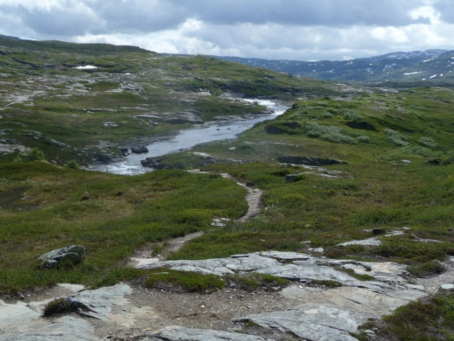
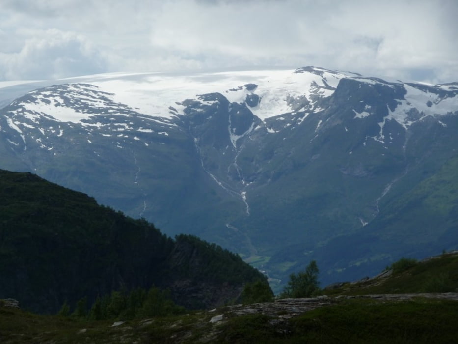
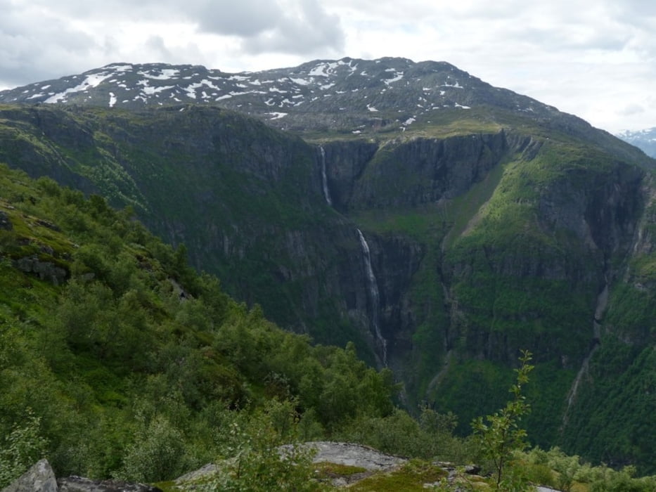
Nachdem man das Tal hinter sich gelassen hat, betritt man die schier endlose Hochebene der Hardanger Vidda. Mit ein bischen Glück sieht man keine Menschensele und kann die traumhafte Landschaft für sich alleine genießen. Lediglich das Pfeifen des Windes und das Rauschen oder Toben des Wasser stören dann die Ruhe.
Tour gallery

Tour map and elevation profile
Minimum height -6 m
Maximum height 1066 m
More about the tour author

|
feisen |
Comments

Die RV 13 am Sörfjord entlang bis Ullensvang
GPS tracks
Trackpoints-
GPX / Garmin Map Source (gpx) download
-
TCX / Garmin Training Center® (tcx) download
-
CRS / Garmin Training Center® (crs) download
-
Google Earth (kml) download
-
G7ToWin (g7t) download
-
TTQV (trk) download
-
Overlay (ovl) download
-
Fugawi (txt) download
-
Kompass (DAV) Track (tk) download
-
Track data sheet (pdf) download
-
Original file of the author (gpx) download
More about the tour author
|
|
feisen |
Add to my favorites
Remove from my favorites
Edit tags
Open track
My score
Rate