
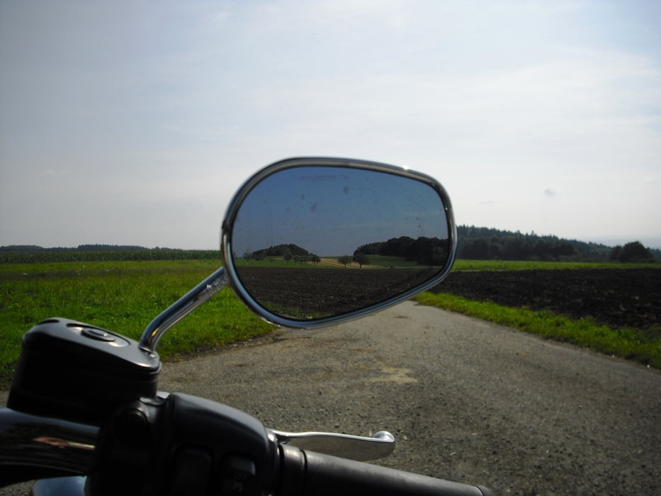

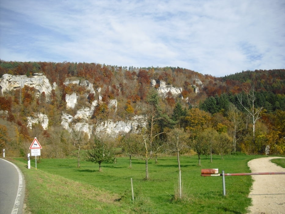
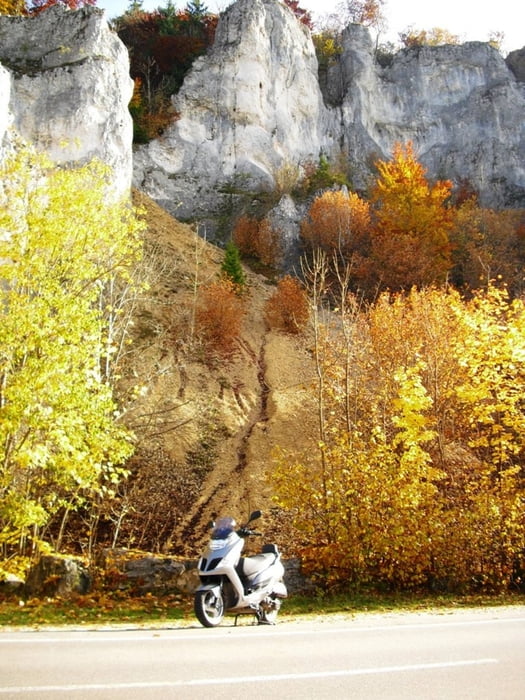
Wir starten in Uhldingen Mühlhofen (bei der Harley Vermietung) und kommen größtenteils auf wenig befahrenen Nebenstrassen über Owingen und Fridingen zur Oberen Donau. Im Donautal gehts nun über (Kloster)Beuron , Thiergarten auf schöner Panoramastrasse durchs Donautal nach Sigmaringen.
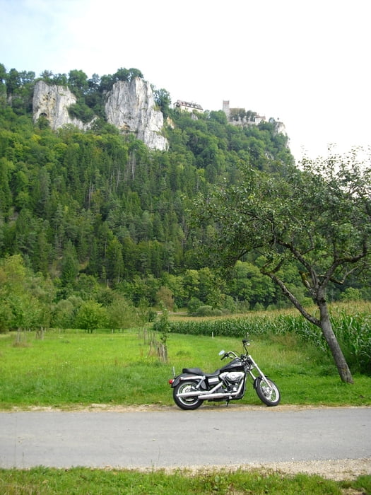
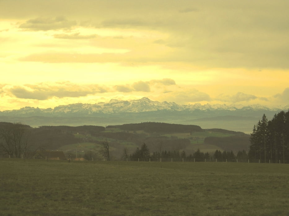
Weiter über Hundersingen, Ostrach, Wilhelmsdorf , Illmensee kommen wir zum Höchsten. Hier gibts eine Aussicht auf Bodensee und Alpen.
Über Roggenbeuren, Hammerhof, Bermatingen, vorbei an der Walfahrtskirche Baitenhausen gehts zurück nach Mühlhofen.
Update Okt. 2013: Hammerhof gibts nicht mehr als Einkehrmöglichkeit. Aber auf dem Höchsten gibts z.B. Berggasthof Höchsten mit toller Aussicht und sehr Bikerfreundlich.
www.hoechsten.de
Further information at
http://www.motorradvermietung-bodensee.deTour gallery
Tour map and elevation profile
Minimum height 406 m
Maximum height 824 m
More about the tour author
|
|
Bockrider |
Comments

Am westlichen Bodensee auf der B31 nach Unteruhldingen. Start und Ziel bei der Harley Vermietung in Uhldingen.
GPS tracks
Trackpoints-
GPX / Garmin Map Source (gpx) download
-
TCX / Garmin Training Center® (tcx) download
-
CRS / Garmin Training Center® (crs) download
-
Google Earth (kml) download
-
G7ToWin (g7t) download
-
TTQV (trk) download
-
Overlay (ovl) download
-
Fugawi (txt) download
-
Kompass (DAV) Track (tk) download
-
Track data sheet (pdf) download
-
Original file of the author (gpx) download
More about the tour author
|
|
Bockrider |
Add to my favorites
Remove from my favorites
Edit tags
Open track
My score
Rate