Login

Forgotten password?

Cookies have to be accepted!
Your browser's cookie functionality is disabled. Please enable this functionality.

Not a member yet?

Register now
Login

Available for registred users only

Log in to use this feature.

Forgotten password?

Cookies have to be accepted!
Your browser's cookie functionality is disabled. Please enable this functionality.

Not a member yet?

Register now
Filter
Categories
Advanced filters
  • Distance (km)
  • Height
Save filters Reset filter

TrackRank

QRCode

Technical data

Distance36,7 km Height552 m Way down552 m Duration01:20 h:m Date05.09.2010
Scores Author Landscape Fun factor Fitness Technique

Statistics

1790 Views Scores 38 Downloads Average
Rate
  • Track data sheet
  • Directions
  • Downloads

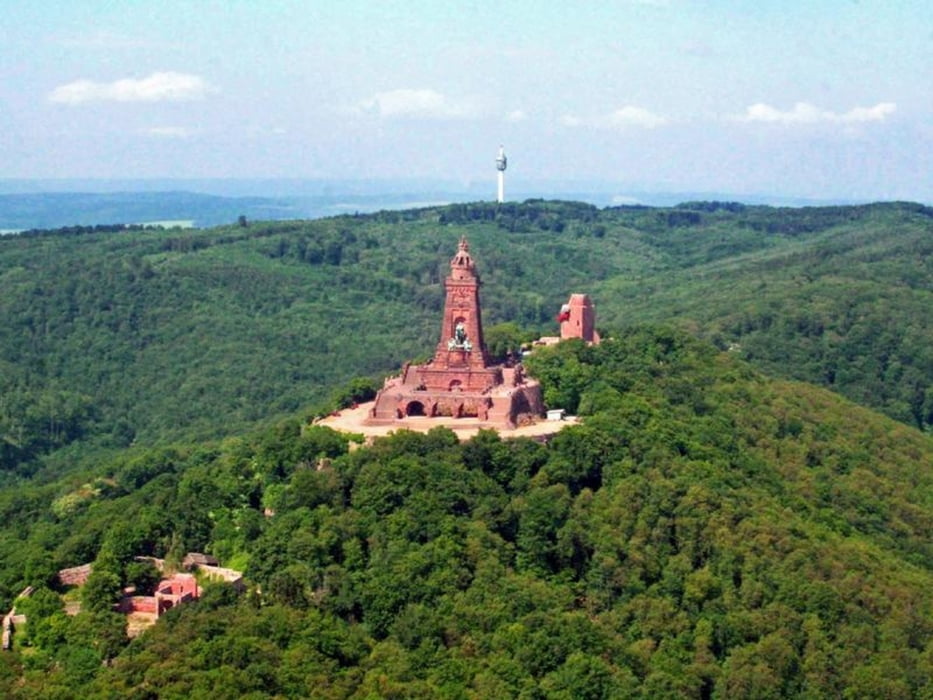
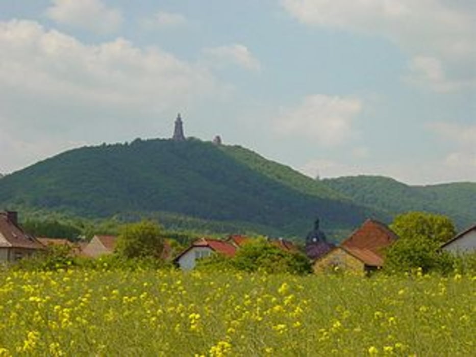
Rundtour von Bad Frankenhausen über den Kyffhäuser uns zurück.

Bad Frankenhausen - Rottleben - Steinthaleben - Kelbra - Rathsfeld -  Bad Frankenhausen

Further information at

http://www.kyffhaeuser-tourismus.de/

Tour gallery

Tour map and elevation profile

  • Open Street Map
  • Google
Minimum height 124 m Maximum height 452 m Detailed view

More about the tour author

joestreich
Member since 2010

Send private message

Comments

Start- und Zielpunkt ist der kostenlose Parkplatz an der "Kyffhäuser-Kaserne".


GPS tracks

Trackpoints
  • GPX / Garmin Map Source (gpx) download
  • TCX / Garmin Training Center® (tcx) download
  • CRS / Garmin Training Center® (crs) download
  • Google Earth (kml) download
  • G7ToWin (g7t) download
  • TTQV (trk) download
  • Overlay (ovl) download
  • Fugawi (txt) download
  • Kompass (DAV) Track (tk) download
  • Track data sheet (pdf) download
  • Original file of the author (gpx) download

More about the tour author

joestreich
Member since 2010

Send private message
Share track
Add to my favorites
Remove from my favorites
Edit tags
My score
Rate
Track: Kyffhäuser Feierabendrunde
Type: Road biking
Distance: 36,7 km
Evaluated on:
Duration:
Day(s)
Hour(s)
Minute(s)
Score: Landscape Fun factor Fitness Technique