
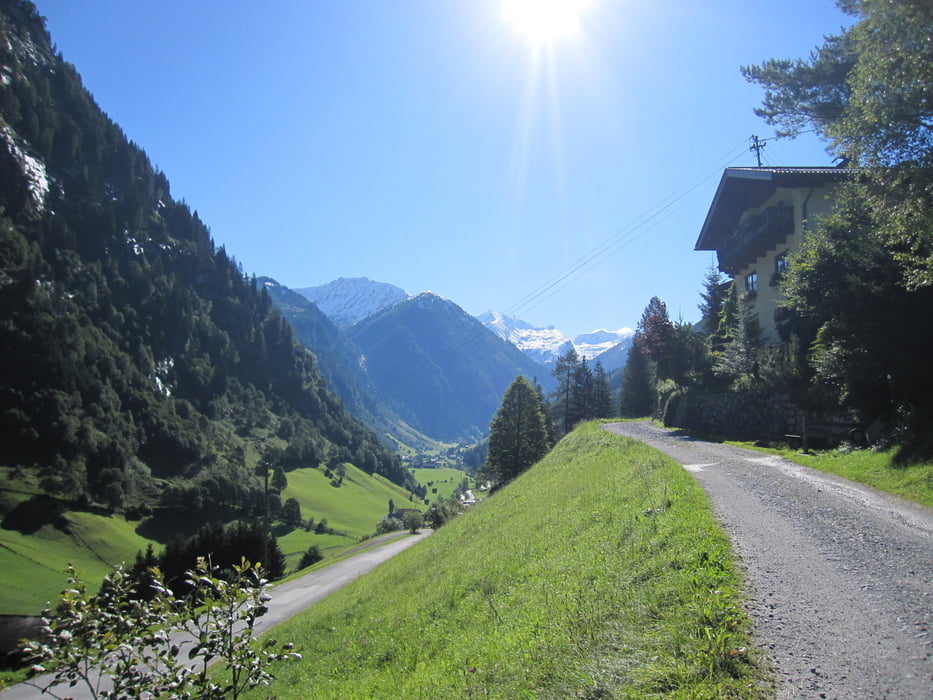

Aufstieg vom Parkplatz in Hüttschlag über Hirschgrubenalm, Aschlreitalm zur Moderregalm.
Dort wird übernachtet. Unbedingt bei Lissi vorbuchen und am besten für abends einen schönen Braten bestellen. Sonst nur kalte Küche; bzw. Kleinigkeiten. Den selbstgemachten Zirbenschnaps mal probieren.
Schöne angenehme Tour und gut zum Einlaufen.
Further information at
http://www.grossarltal.info/Tour gallery


Tour map and elevation profile
Minimum height 1019 m
Maximum height 1913 m
More about the tour author
|
|
Lippo |
Comments

Tauernautobahn Abfahrt Bischofshofen, dann Richtung St. Johann im Pongau, weiter ins Großarltal, bis nach Hüttschlag (Talende), dort an der Volksschule vorbei zum Parkplatz.
GPS tracks
Trackpoints-
GPX / Garmin Map Source (gpx) download
-
TCX / Garmin Training Center® (tcx) download
-
CRS / Garmin Training Center® (crs) download
-
Google Earth (kml) download
-
G7ToWin (g7t) download
-
TTQV (trk) download
-
Overlay (ovl) download
-
Fugawi (txt) download
-
Kompass (DAV) Track (tk) download
-
Track data sheet (pdf) download
-
Original file of the author (gpx) download
More about the tour author
|
|
Lippo |
Add to my favorites
Remove from my favorites
Edit tags
Open track
My score
Rate