Login

Forgot your login?

Cookies have to be accepted!
Your browser's cookie functionality is disabled. Please enable this functionality.

Not a member yet?

Register now
Login

Available for registred users only

Log in to use this feature.

Forgot your login?

Cookies have to be accepted!
Your browser's cookie functionality is disabled. Please enable this functionality.

Not a member yet?

Register now
Filter
Categories
Advanced filters
  • Distance (km)
  • Height
Save filters Reset filter

TrackRank

QRCode

Technical data

Distance76,6 km Height2030 m Way down2069 m Duration5 days 4 h Date09.09.2010
Scores Author Landscape Fun factor Fitness Technique

Statistics

1647 Views Scores 263 Downloads Average
Rate
  • Track data sheet
  • Directions
  • Downloads

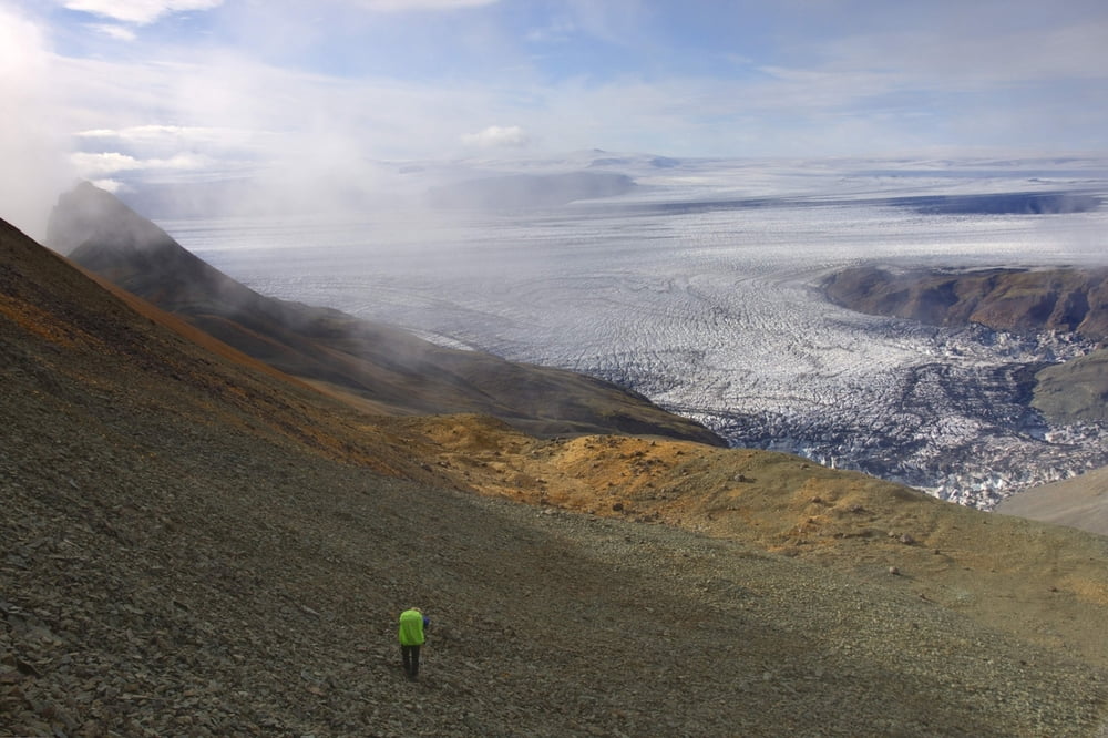
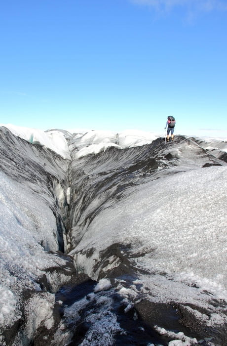
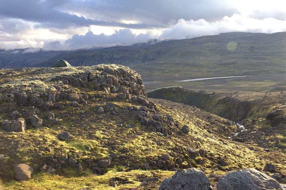
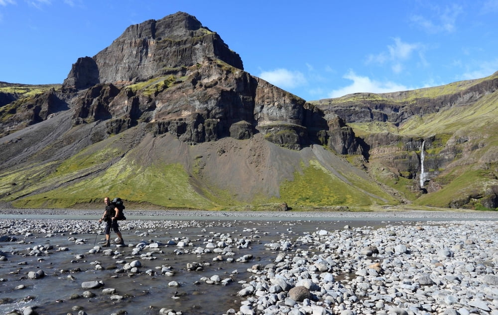
Wanderung vom Skaftafell Nationalpark über den Svartifoss und das Morsa-Tal über den Gletscher zum Gletschersee Graenalon und das Nupsa-Tal bis zur N1 

Further information at

http://www.raunvis.hi.is/~alexandr/glaciorisk/jokulhlaup/GLOF/vatna/graen.htm

Tour gallery

Tour map and elevation profile

  • Open Street Map
  • Google
Minimum height 38 m Maximum height 1174 m Detailed view

More about the tour author

Egika
Member since 2009

Send private message

Comments

Über die N1 zum Skaftafell Nationalpark. Achtung: Endpunkt der Tour ist nicht gleich Startpunkt :)
 Es gibt ein paar (wenige) Busse zu horrenden Preisen, die Skaftafell anfahren.

GPS tracks

Trackpoints
  • GPX / Garmin Map Source (gpx) download
  • TCX / Garmin Training Center® (tcx) download
  • CRS / Garmin Training Center® (crs) download
  • Google Earth (kml) download
  • G7ToWin (g7t) download
  • TTQV (trk) download
  • Overlay (ovl) download
  • Fugawi (txt) download
  • Kompass (DAV) Track (tk) download
  • Track data sheet (pdf) download
  • Original file of the author (gpx) download

More about the tour author

Egika
Member since 2009

Send private message
Share track
Add to my favorites
Remove from my favorites
Edit tags
My score
Rate
Track: Skaftafell-Nupsa
Type: Hiking
Distance: 76,6 km
Evaluated on:
Duration:
Day(s)
Hour(s)
Minute(s)
Score: Landscape Fun factor Fitness Technique