
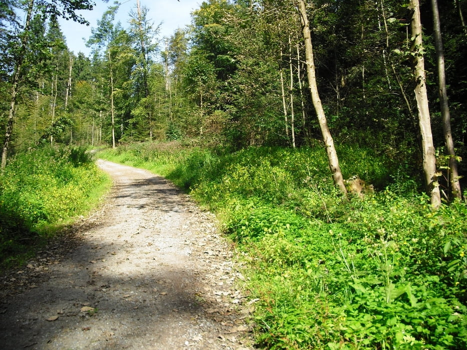

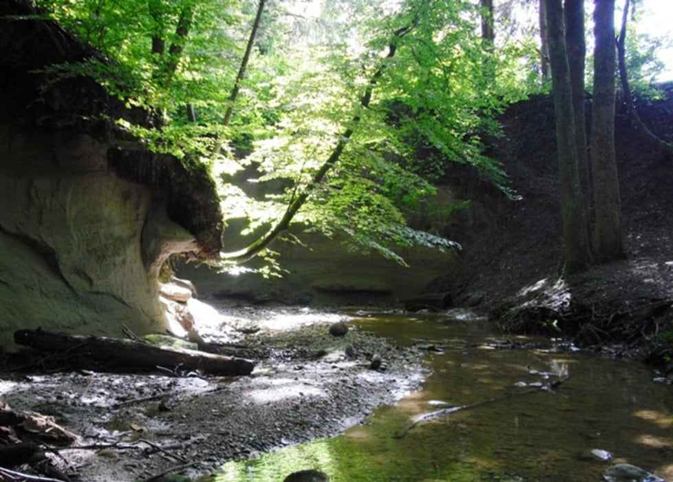
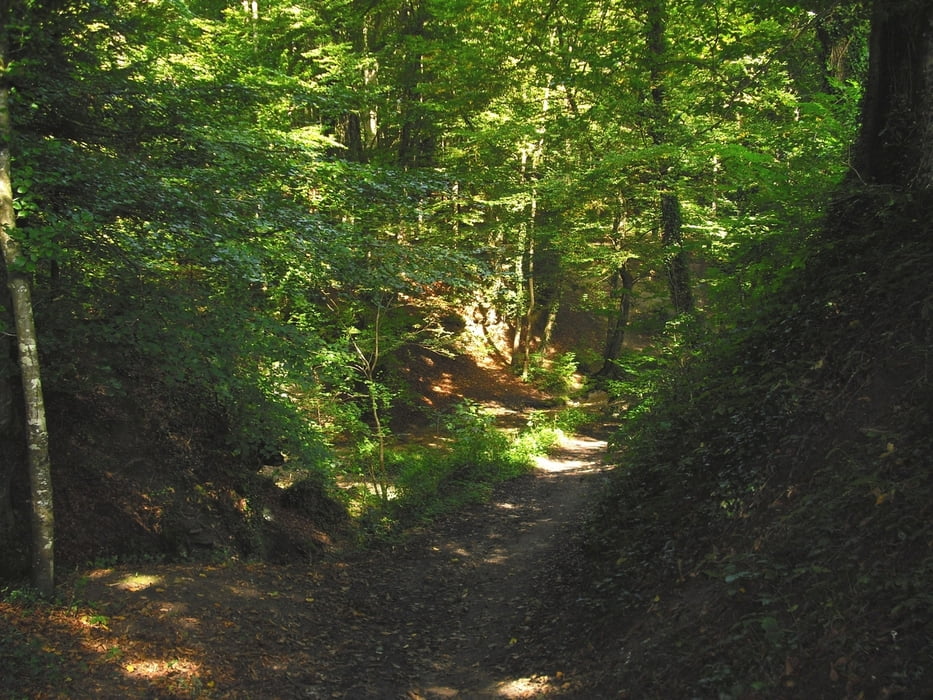
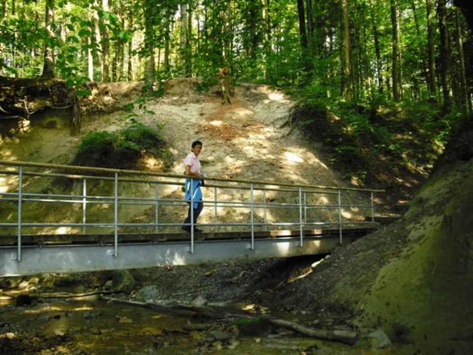
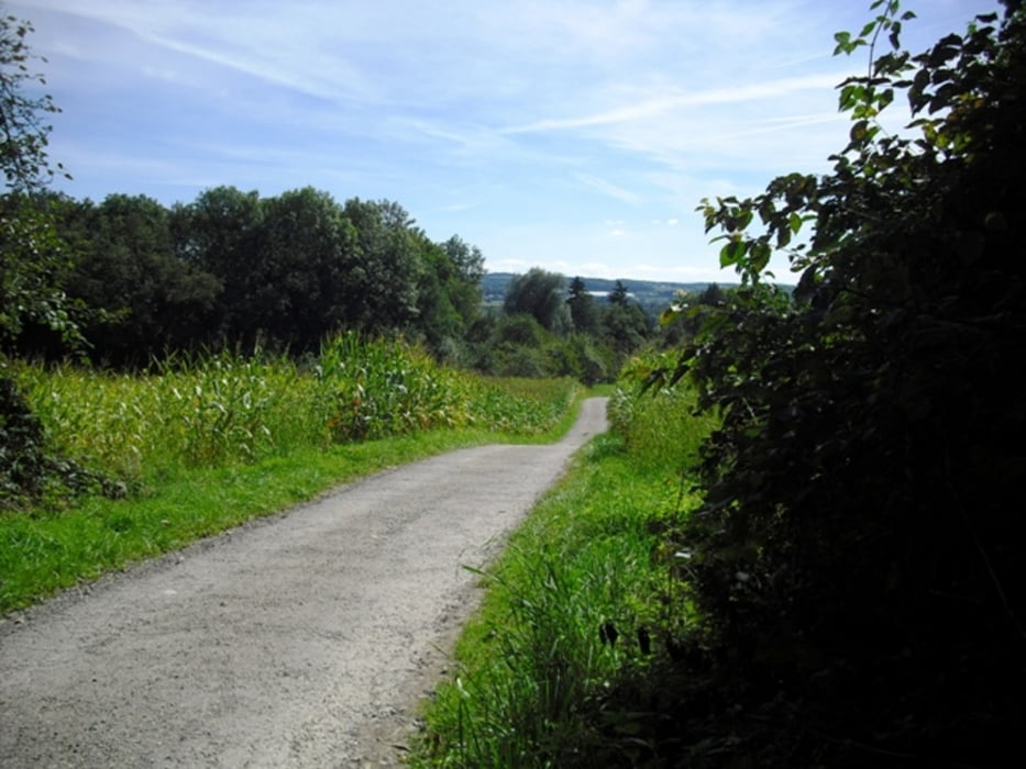
Einfache Wanderung bei Ravensburg-Oberzell. Die Tour ist auch für Kinder interessant, weil teilweise am Bach mit Spielmöglichkeiten. Erst gehen wir vorbei an der Kirche und Schule bergwärts zum Wald und weiter zum Riesenhof. Nun gehts auf einem schmalen Pfad zur Grillstelle am Gillenbach. Über den Steg kommen wir entlang des Gillenbachs durch den Hotterlocher Tobel zurück nach Oberzell. Einkehrmöglichkeit (ab 16 h) z.B. beim "Krattenmacher" Nähe Bahnlinie.
Tour gallery
Tour map and elevation profile
Minimum height 406 m
Maximum height 471 m
More about the tour author
|
|
Bockrider |
Comments

B30 Ravensburg Süd nach Oberzell. Parken beim Bahnübergang oder bei der Schule.
GPS tracks
Trackpoints-
GPX / Garmin Map Source (gpx) download
-
TCX / Garmin Training Center® (tcx) download
-
CRS / Garmin Training Center® (crs) download
-
Google Earth (kml) download
-
G7ToWin (g7t) download
-
TTQV (trk) download
-
Overlay (ovl) download
-
Fugawi (txt) download
-
Kompass (DAV) Track (tk) download
-
Track data sheet (pdf) download
-
Original file of the author (gpx) download
More about the tour author
|
|
Bockrider |
Add to my favorites
Remove from my favorites
Edit tags
Open track
My score
Rate