


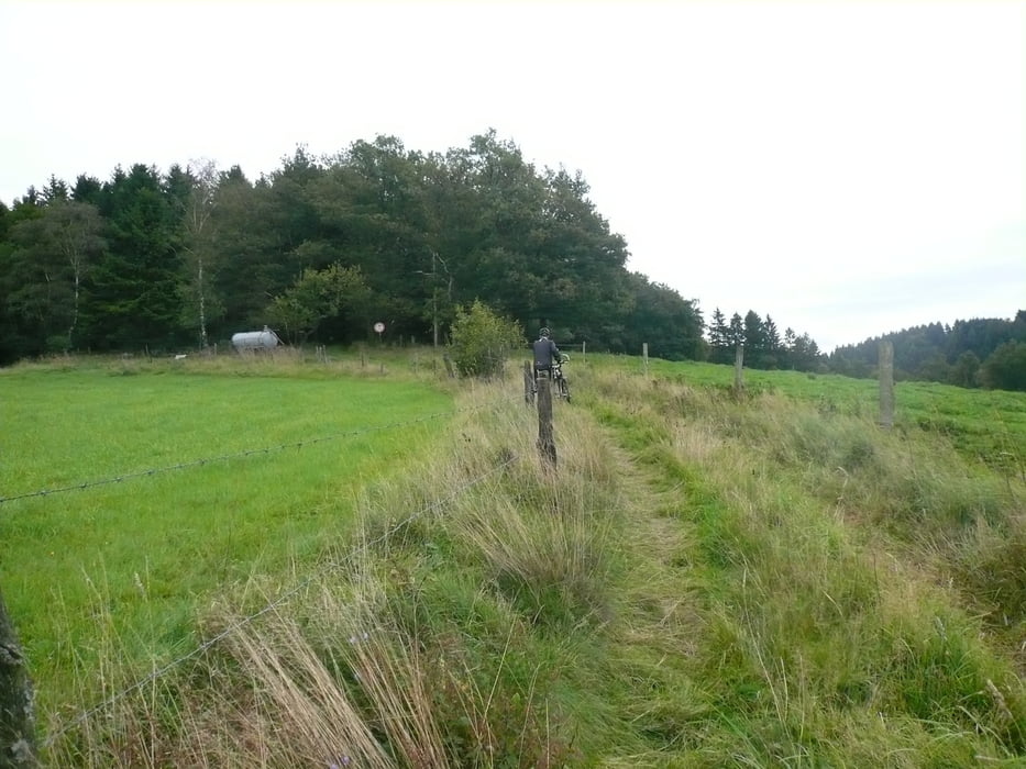
Von Nieder Hövel über Sumpf, Anschlag, Kückelhausen nach Borkshof, über Feldweg wieder auf die Strecke nach Schanzmannsmühle, weiter Richtung Mühlen-Schmidthausen nach Rhinschen-Schmidthausen, über Hohlweg Richtung Wienhagen, weiter über Asphaltstraße Richtung Rönsahl, bei Glietenberg Abzweig nach links, Richtung Dörscheln, über Asphaltweg bis Grünenberg auf die L 237, dann links weiter Richtung Varmert zum Golfplatz
Konditionell relativ einfache Strecke mit schönen Aussichten.
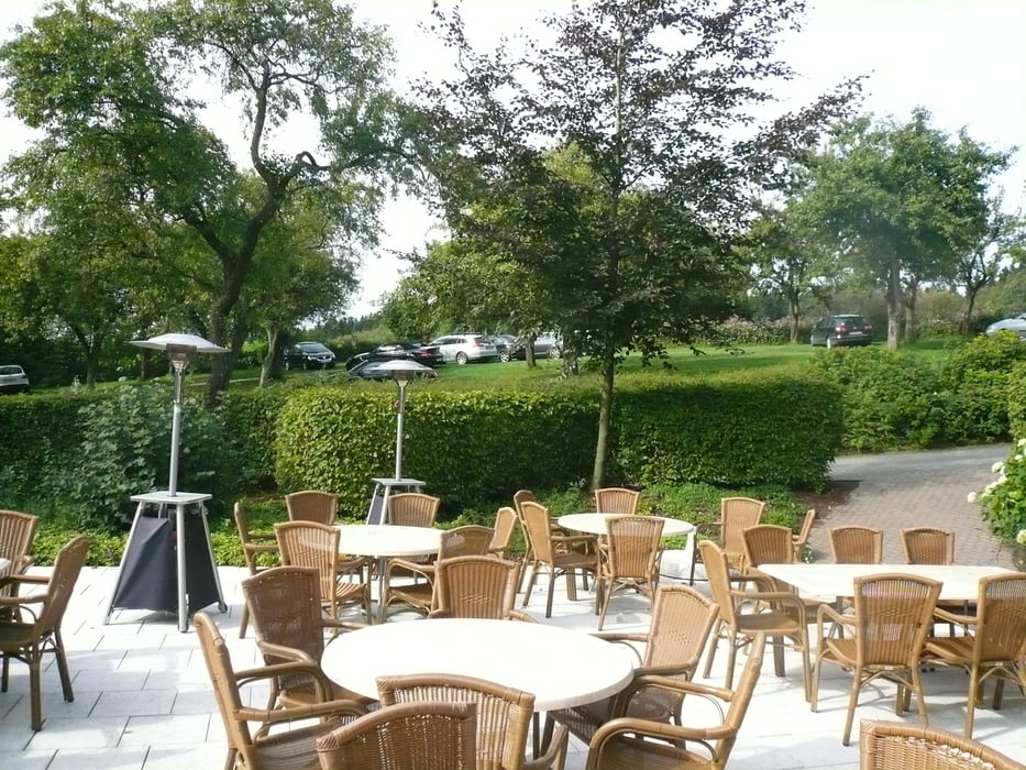
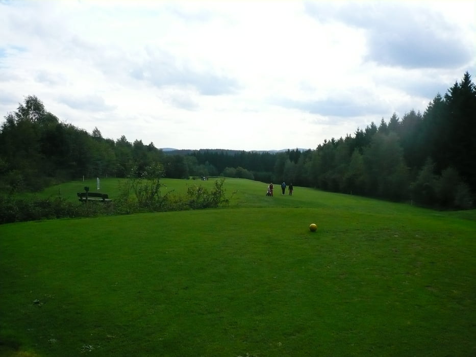
Tour gallery
Tour map and elevation profile
Minimum height 330 m
Maximum height 440 m
More about the tour author
|
|
neuser |
Comments

Von Halver-Stadtmitte über Bächterhof und Mühlenstraße nach Nieder Hövel
GPS tracks
Trackpoints-
GPX / Garmin Map Source (gpx) download
-
TCX / Garmin Training Center® (tcx) download
-
CRS / Garmin Training Center® (crs) download
-
Google Earth (kml) download
-
G7ToWin (g7t) download
-
TTQV (trk) download
-
Overlay (ovl) download
-
Fugawi (txt) download
-
Kompass (DAV) Track (tk) download
-
Track data sheet (pdf) download
-
Original file of the author (gpx) download
More about the tour author
|
|
neuser |
Add to my favorites
Remove from my favorites
Edit tags
Open track
My score
Rate