


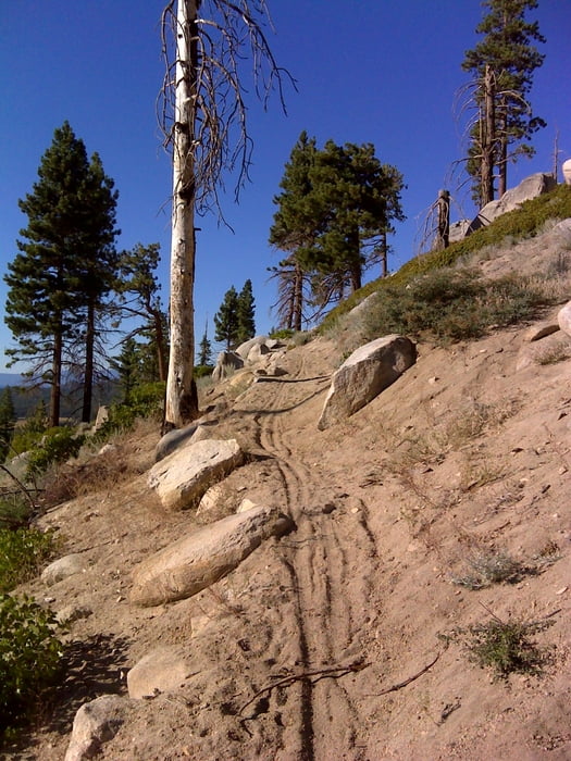
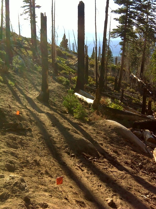
Vom Lake Tahoe durch die Spielerhotels zum Skilift; dort links halten; dem Trail folgen bis Umkehrpunkt; zurück in die Stadt
Tour gallery
Tour map and elevation profile
Minimum height 1837 m
Maximum height 2080 m
More about the tour author
|
|
rockydoc |
Comments

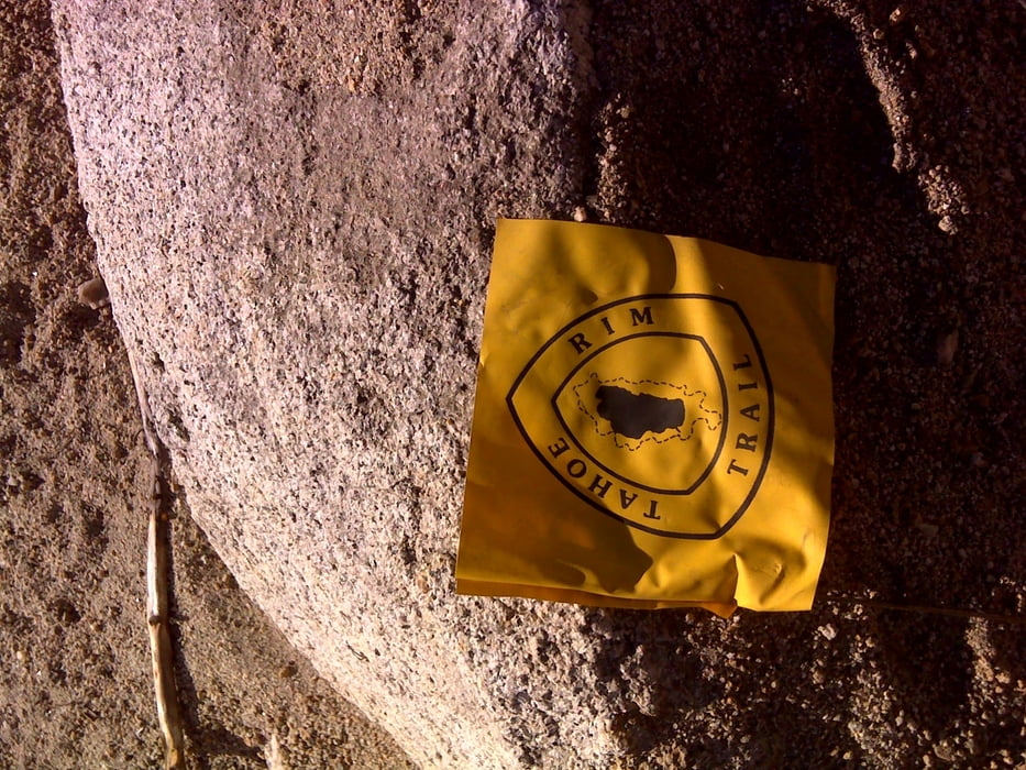
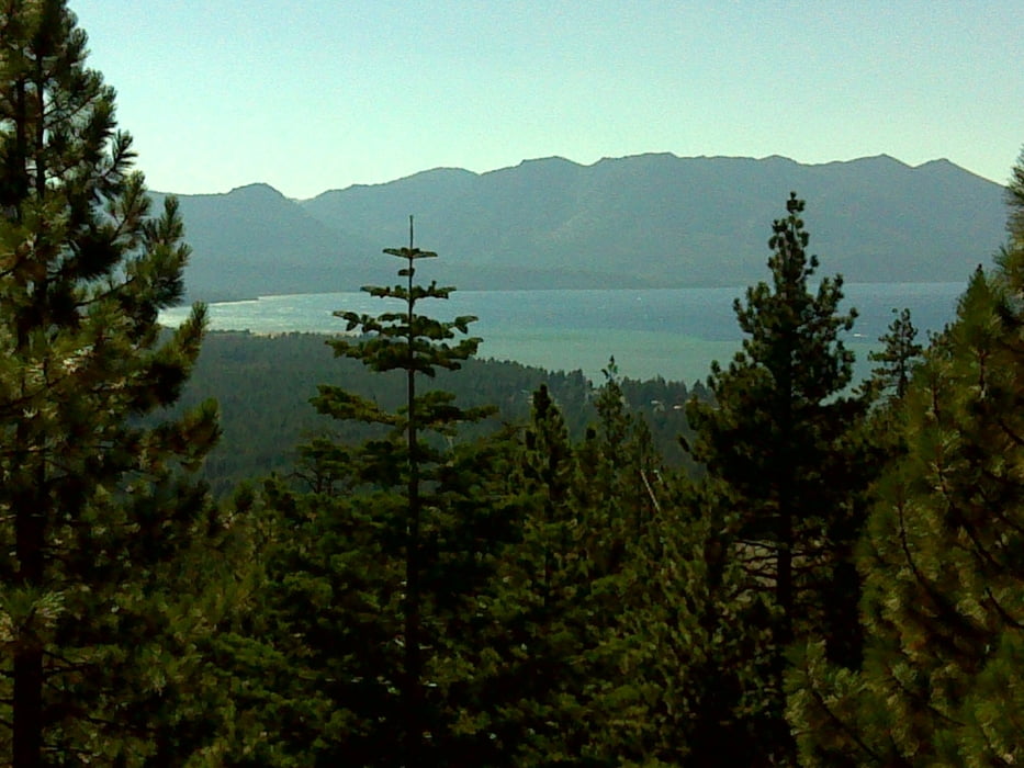
Lake Tahoe
GPS tracks
Trackpoints-
GPX / Garmin Map Source (gpx) download
-
TCX / Garmin Training Center® (tcx) download
-
CRS / Garmin Training Center® (crs) download
-
Google Earth (kml) download
-
G7ToWin (g7t) download
-
TTQV (trk) download
-
Overlay (ovl) download
-
Fugawi (txt) download
-
Kompass (DAV) Track (tk) download
-
Track data sheet (pdf) download
-
Original file of the author (gpx) download
More about the tour author
|
|
rockydoc |
Add to my favorites
Remove from my favorites
Edit tags
Open track
My score
Rate