


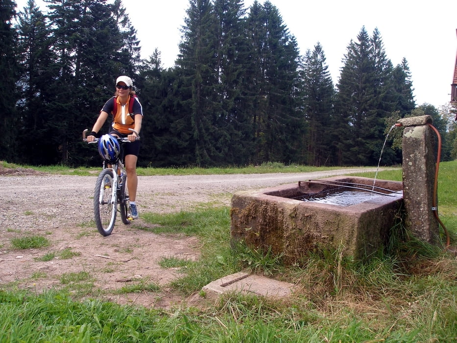
Die Tour beginnt und endet bei mir vor der Haustür am kleinen Parkplatz in der Waldstrasse. Jedoch kann man das ganze auch vom Bahnhof Forbach starten. Von dort fährt man ein Stück auf der Tour de Murg Richtung Schönmünzach, biegt aber dann vor dem Forsthaus links ab, bergauf Richtung Toter Mann. Eine mehr oder weniger gleich bleibende Steigung auf einem Forstweg bringt einen durch das sehr schöne Sasbachtal mit seinen Ziegen und Rindern und durch Nadelwald hinauf zum St. Anton. Nach einer kleinen Abkühlung am dortigen Brunnen gehts weiter bergauf zum Toten Mann. Ein Blick nach links lohnt jetzt, die Aussicht hilft über die Anstrenung hinweg. Am Toten Mann lädt eine Hütte mit Sitzbänken zum ausruhen und verweilen ein. Jetzt fährt man ca. 3 km mehr oder weniger eben weg auf dem Schwarzwälder Höhenradweg / Mittelweg Richtung Besenfeld. Man biegt dann rechts ab und geniesst die Abfahrt um den Giesshübelkopf und am Kaltenbach vorbei. Auf den Radweg Tour de Murg einbiegend rollt man weiter zurück nach Forbach.
Further information at
http://www.murgtal-biker.deTour gallery
Tour map and elevation profile
Minimum height 308 m
Maximum height 918 m
More about the tour author
|
|
Murgtalbiker |
Comments

Mit dem Auto von der A5 kommend Richtung Freudenstadt nach Forbach.
Mit der Bahn von Rastatt kommend Richtung Freudenstadt, bzw. von Freudenstadt kommend Richtung Rastatt, am Bahnhof Forbach aussteigen.
GPS tracks
Trackpoints-
GPX / Garmin Map Source (gpx) download
-
TCX / Garmin Training Center® (tcx) download
-
CRS / Garmin Training Center® (crs) download
-
Google Earth (kml) download
-
G7ToWin (g7t) download
-
TTQV (trk) download
-
Overlay (ovl) download
-
Fugawi (txt) download
-
Kompass (DAV) Track (tk) download
-
Track data sheet (pdf) download
-
Original file of the author (gpx) download
More about the tour author
|
|
Murgtalbiker |
Add to my favorites
Remove from my favorites
Edit tags
Open track
My score
Rate