
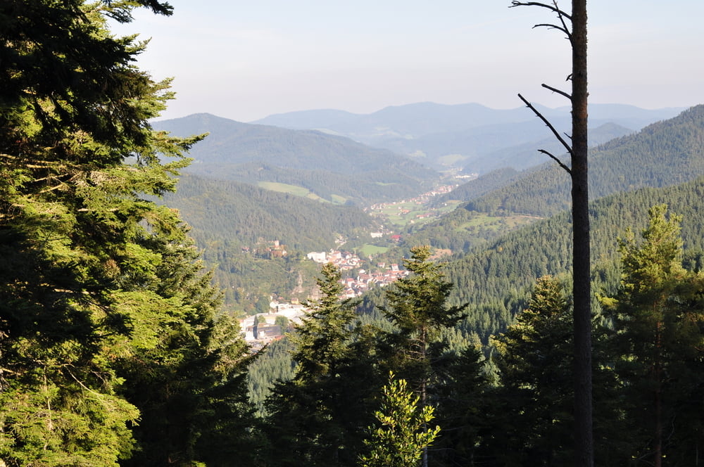

Die Tour begingt am Bahnhof in Hornberg ( Parkplatz hinter dem Bahnhof).Wir folgen dem Querweg Lahr - Rottweil bis zur Staude (Einkehrmöglichkeit), nach der Staude verlassen wir den Querweg Lahr- Rottweil und folgen der blaue Raute Richtung Hohne bis nach Triberg Bahnhof. Vom Bahnhof wandern wir auf dem Gutachweg zurück nach Hornberg. Die Tour kann man abkürzen wenn man mit dem Zug von Triberg nach Hornberg fährt.
Tour map and elevation profile
Minimum height 362 m
Maximum height 925 m
More about the tour author

|
Lohrer |
Comments

Mit dem Auto auf der B 33 oder mit Schwarzwaldbahn nach Hornberg
GPS tracks
Trackpoints-
GPX / Garmin Map Source (gpx) download
-
TCX / Garmin Training Center® (tcx) download
-
CRS / Garmin Training Center® (crs) download
-
Google Earth (kml) download
-
G7ToWin (g7t) download
-
TTQV (trk) download
-
Overlay (ovl) download
-
Fugawi (txt) download
-
Kompass (DAV) Track (tk) download
-
Track data sheet (pdf) download
-
Original file of the author (gpx) download
More about the tour author
|
|
Lohrer |
Add to my favorites
Remove from my favorites
Edit tags
Open track
My score
Rate