
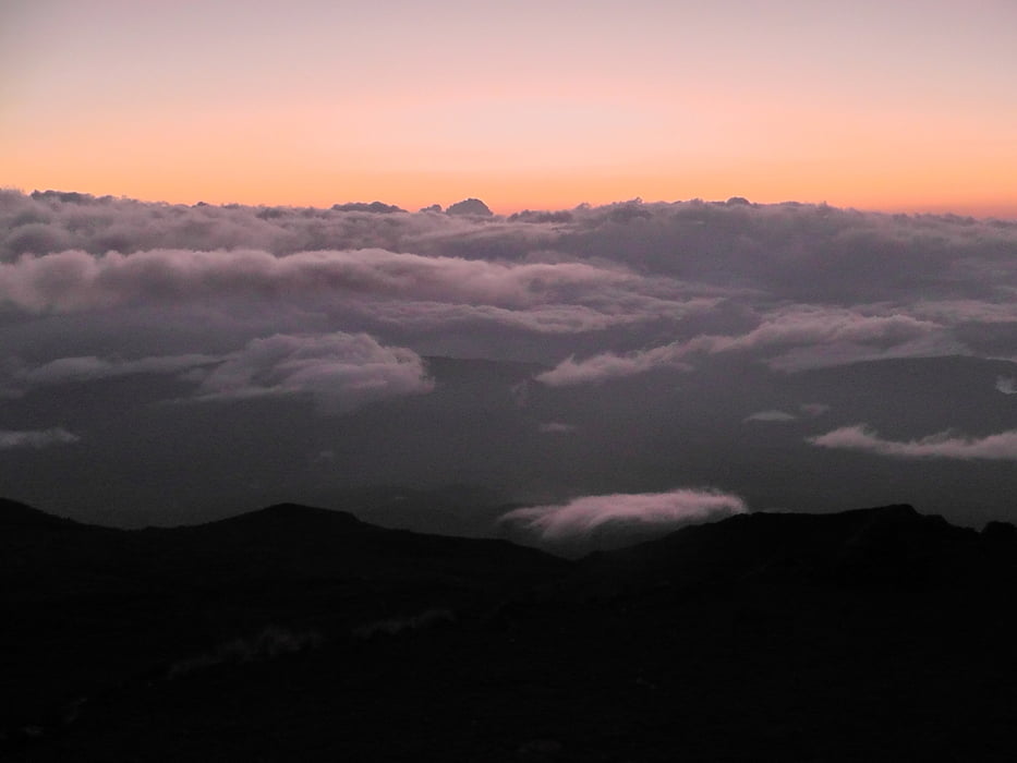

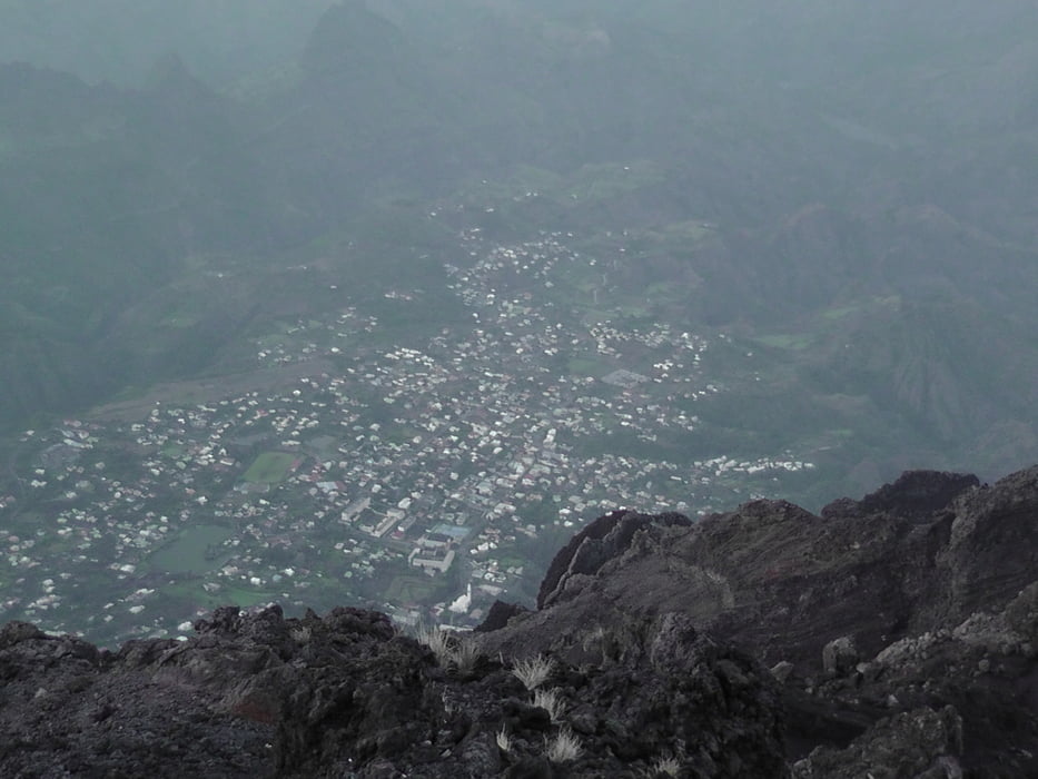
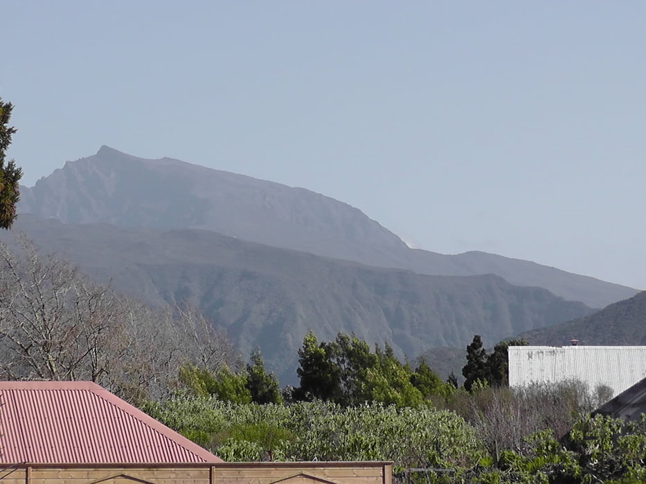
Heute vor dem Frühstück steht die besteigung des Piton des Neiges auf dem Programm. Nachdem es in der Nach aufgehört hat zu regnen, starten wir so gegen 4:30 uhr den Weg nach oben um den Sonnenaufgang zu bestaunen.
Tour gallery


Tour map and elevation profile
Minimum height 2439 m
Maximum height 3072 m
More about the tour author

|
Joachimr |
Comments

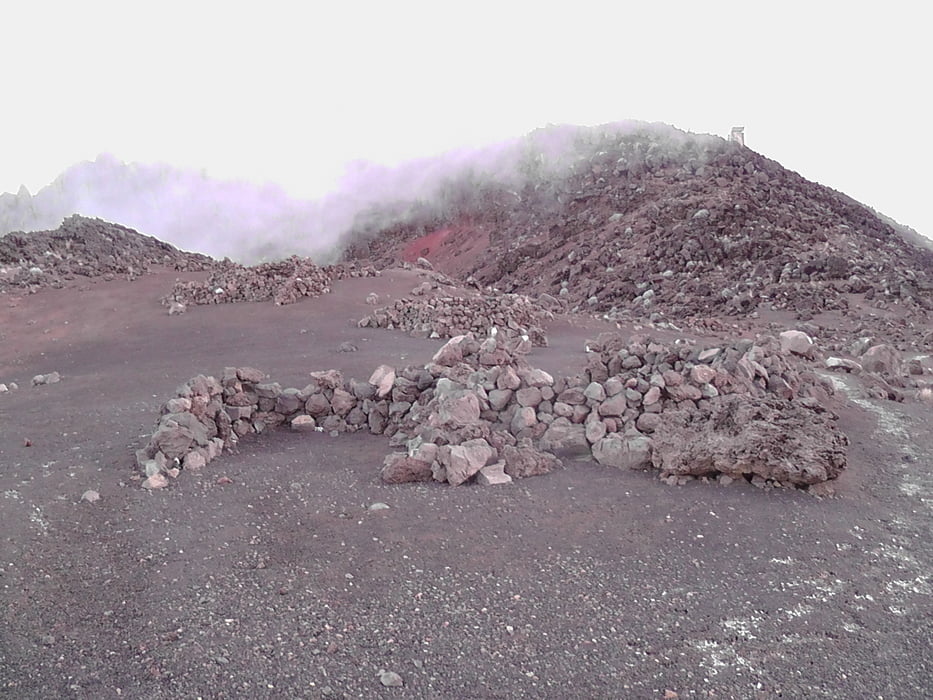
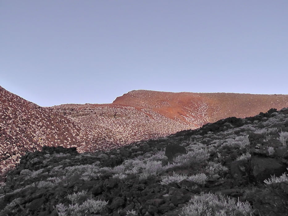
Fortsetzung Tag 5
GPS tracks
Trackpoints-
GPX / Garmin Map Source (gpx) download
-
TCX / Garmin Training Center® (tcx) download
-
CRS / Garmin Training Center® (crs) download
-
Google Earth (kml) download
-
G7ToWin (g7t) download
-
TTQV (trk) download
-
Overlay (ovl) download
-
Fugawi (txt) download
-
Kompass (DAV) Track (tk) download
-
Track data sheet (pdf) download
-
Original file of the author (gpx) download
More about the tour author
|
|
Joachimr |
Add to my favorites
Remove from my favorites
Edit tags
Open track
My score
Rate