


Anspruchsvolle Frühjahrsskitour mit sehr anspruchsvollen Süd-Gipfelhang.
Von dem Parkplatz einfach der Fahrstraße zur Fallerscheinalpe folgen. Von dort auf der rechten Talseite weiter nach Süden bis kurz vor Talschluss. Über das steile Kar zur linken aufsteigen bis man den Südgrad der Namloser Wetterspitze erreicht. Auf diesem dann in nördlicher Richtung bis zum Gipfel aufsteigen.
PS: Nur bei sicherem Firn empfehlenswert. Im Hochwinter ist das Tal von beiden Seiten durch die steilen Wiesenhänge lawinengefährdet.
PPS: Wenn man Glück hat, ist bei der Abfahrt bei den Fallerscheinalpe ein netter Wirt und man kann sich ein Weißbier gönnen.
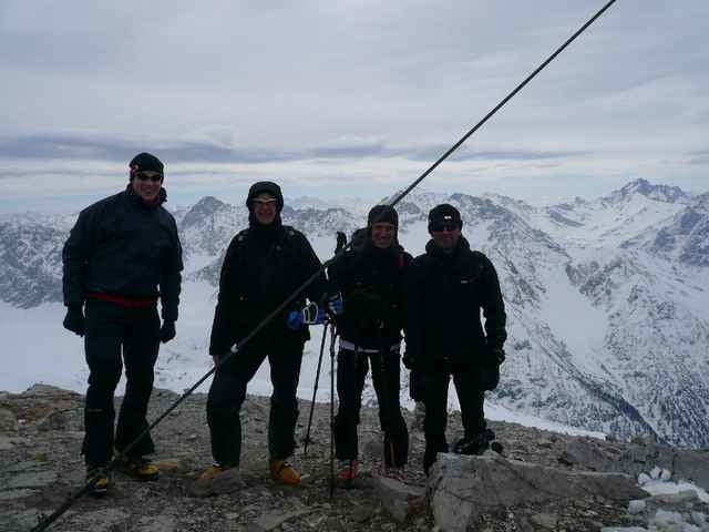
Tour gallery
Tour map and elevation profile
Minimum height 1195 m
Maximum height 2559 m
More about the tour author

|
mkleinso |
Comments

Von Erwald über Bichelbach, Berwang weiter Richtung Namlos. Am Ort vorbeifahren und nach ca. 1 km kommt kurz nach einer Brücke ein Parkplatz. Schild Richtung: Fallerscheinalpe
GPS tracks
Trackpoints-
GPX / Garmin Map Source (gpx) download
-
TCX / Garmin Training Center® (tcx) download
-
CRS / Garmin Training Center® (crs) download
-
Google Earth (kml) download
-
G7ToWin (g7t) download
-
TTQV (trk) download
-
Overlay (ovl) download
-
Fugawi (txt) download
-
Kompass (DAV) Track (tk) download
-
Track data sheet (pdf) download
-
Original file of the author (g7t) download
More about the tour author
|
|
mkleinso |
Add to my favorites
Remove from my favorites
Edit tags
Open track
My score
Rate