
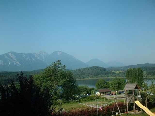

Vom Gebiet um den Klopeinersee und Turnersee aus fährt man Richtung Vöklermarkt bis
zur Stauseebrücke. Dort folgt man einer schönen Schotterstaße, die durch mehrere Rastplätze
zum relaxen einladet, Richtung Klagenfurt.
Ein gemütlicher Familienausflug.
zur Stauseebrücke. Dort folgt man einer schönen Schotterstaße, die durch mehrere Rastplätze
zum relaxen einladet, Richtung Klagenfurt.
Ein gemütlicher Familienausflug.
Tour map and elevation profile
Minimum height 355 m
Maximum height 548 m
More about the tour author
|
|
bonovox |
Comments

Von Klagenfurt Richtung Völkermarkt
GPS tracks
Trackpoints-
GPX / Garmin Map Source (gpx) download
-
TCX / Garmin Training Center® (tcx) download
-
CRS / Garmin Training Center® (crs) download
-
Google Earth (kml) download
-
G7ToWin (g7t) download
-
TTQV (trk) download
-
Overlay (ovl) download
-
Fugawi (txt) download
-
Kompass (DAV) Track (tk) download
-
Track data sheet (pdf) download
-
Original file of the author (g7t) download
More about the tour author
|
|
bonovox |
Add to my favorites
Remove from my favorites
Edit tags
Open track
My score
Rate