


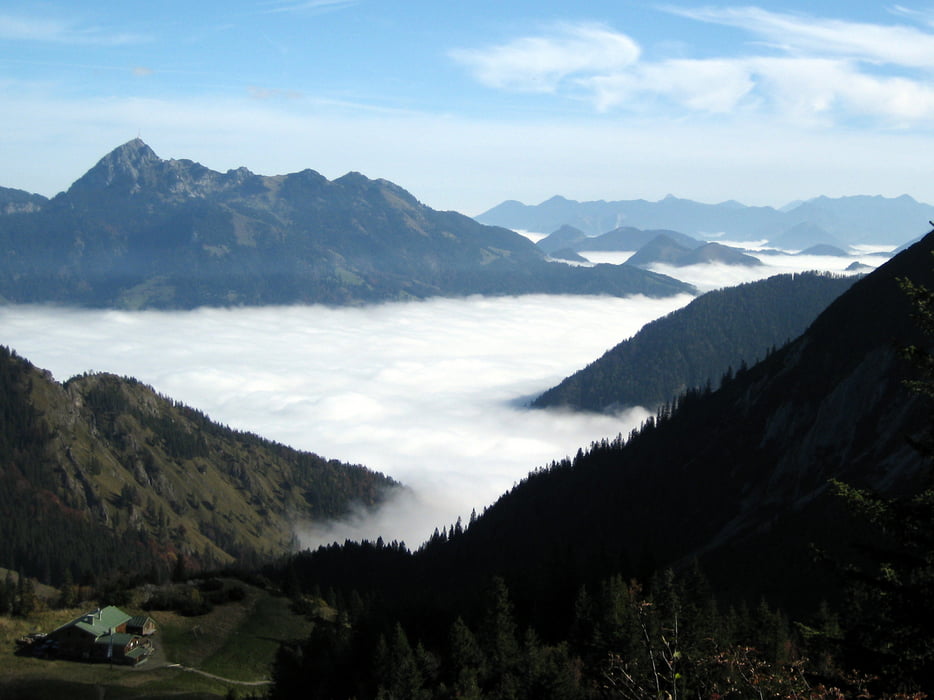
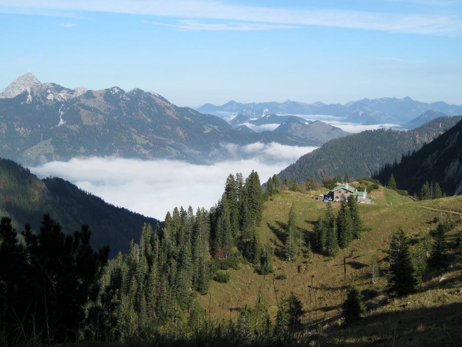
Unsere Wanderung beginnt an der Talstation der Taubensteinbahn, die uns in 15 Minuten auf 1595m Höhe bringt. Über eine Treppe gehen wir bergauf in Richtung Taubenstein / Rotwand. Bei feuchtem Wetter ist der folgende Weg recht rutschig. Der Pfad wird jedoch bald zu einem breiten Panoramaweg, der uns für die vorangegangenen Schwierigkeiten durch das fantastische Bergpanorama entschädigt. Wir kommen zum Rotwandhaus. Von dort geht es über einen felsigen Wanderpfad wieder bergab, bevor es erneut auf die Kleintiefenthal-Alm ansteigt. In der Ferne sehen wir bald das Taubensteinhaus, wo wir eine Pause einlegen. Der Weg zur Bergstation der Taubensteinbahn ist nun nicht mehr weit.
Tour gallery


Tour map and elevation profile
Minimum height 1504 m
Maximum height 1789 m
More about the tour author

|
frank_guenther |
Comments

Startpunkt der Tour ist ein (gebührenfreier) Parkplatz in Spitzingsee an der Taubensteinbahn: N47,666974068 E11,889052391
GPS tracks
Trackpoints-
GPX / Garmin Map Source (gpx) download
-
TCX / Garmin Training Center® (tcx) download
-
CRS / Garmin Training Center® (crs) download
-
Google Earth (kml) download
-
G7ToWin (g7t) download
-
TTQV (trk) download
-
Overlay (ovl) download
-
Fugawi (txt) download
-
Kompass (DAV) Track (tk) download
-
Track data sheet (pdf) download
-
Original file of the author (gpx) download
More about the tour author
|
|
frank_guenther |
Add to my favorites
Remove from my favorites
Edit tags
Open track
My score
Rate