
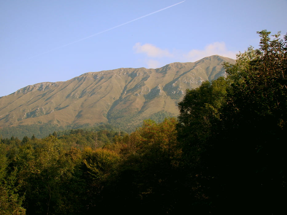

Iz Kobarida se peljemo po asfaltni cesti do kraja Svino,nadaljujemo pa po makedamski cesti do Starega Sela.Od tu naprej lahko rečem,da se začne zmeren asfalten vzpon do kraja Sedlo.Asfalta je za zdaj konec in makedamska cesta je lapo zvita po strmem popočju južne strani grebena.Vožnja se konča na Verilih,jaz pa sem še malo vstrajal z nošenjem proti vrhu,vendar sem hitro odnehal(vi se pa sami odločite)Spust pa je odličen.Po široki kolovozni poti po robu,z obilico razgledov.Pot je kasneje kar strma,vendar lepo vozna,skoraj do Starega Sela,kjer sem se rahlo izgubil,in dokončal spust po lepo tlakovanem in k sreči praznem odtočnem jarku.Asfalt pa nas za konec popelje v Kobarid.
Tour map and elevation profile
Minimum height 234 m
Maximum height 1546 m
More about the tour author
|
|
caperos |
Comments

GPS tracks
Trackpoints-
GPX / Garmin Map Source (gpx) download
-
TCX / Garmin Training Center® (tcx) download
-
CRS / Garmin Training Center® (crs) download
-
Google Earth (kml) download
-
G7ToWin (g7t) download
-
TTQV (trk) download
-
Overlay (ovl) download
-
Fugawi (txt) download
-
Kompass (DAV) Track (tk) download
-
Track data sheet (pdf) download
-
Original file of the author (gpx) download
More about the tour author
|
|
caperos |
Add to my favorites
Remove from my favorites
Edit tags
Open track
My score
Rate