


Eine Radtour des Senioren-Office Maintal
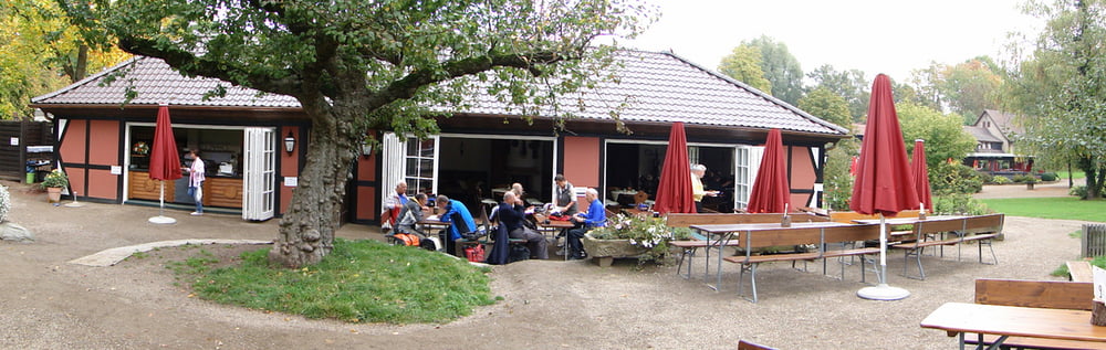
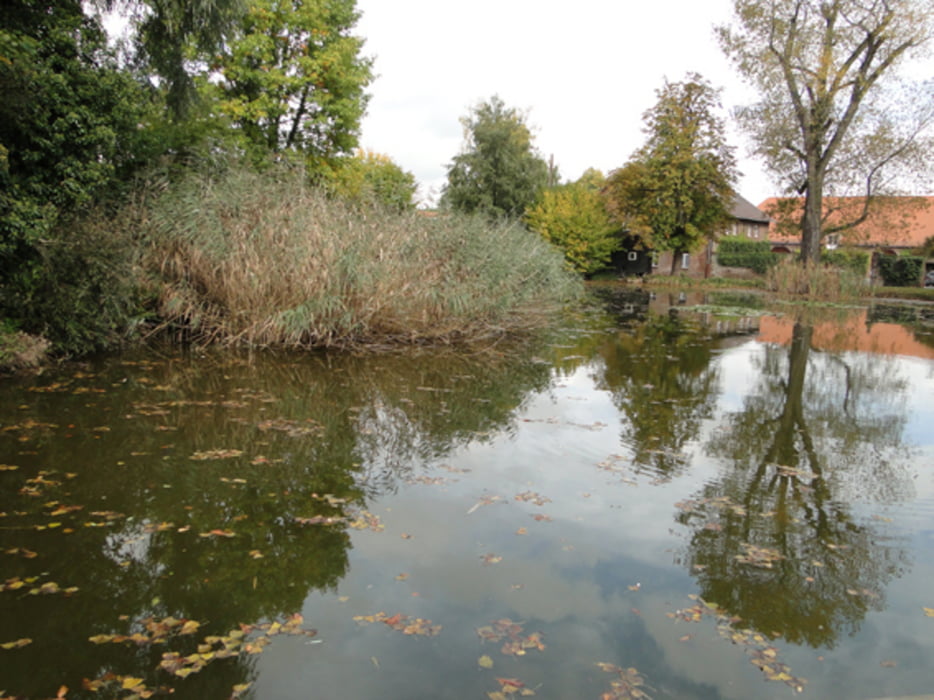
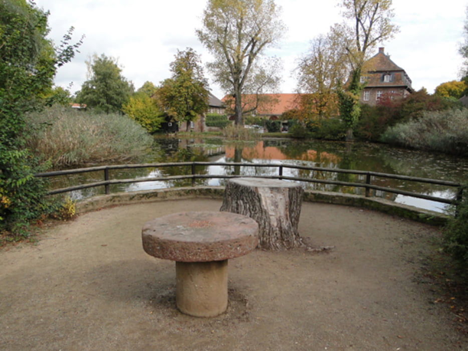
Start an der Dörnigheimer Fähre. Auf dem R4 über Mühlheim und Bieber nach Heusenstamm. Später auf dem R8 zum Gut Neuhof. Wer möchte kann bevor er rechts zum Gut Neuhof abbiegt, noch ca. 500m geradeaus, bergauf zur Stangenpyramide fahren. Von dort hat man einen sehr guten Panoramablick auf Frankfurt und Umgebung. Zurück fuhren wir durch den Stadtwald nach Ffm-Oberrad und am Main entlang nach Hause.
Tour gallery
Tour map and elevation profile
Minimum height 97 m
Maximum height 178 m
More about the tour author
|
|
Bischemer |
Comments

Da dies eine Rundtour ist, kann der Ein- und Ausstieg überall stattfinden.
GPS tracks
Trackpoints-
GPX / Garmin Map Source (gpx) download
-
TCX / Garmin Training Center® (tcx) download
-
CRS / Garmin Training Center® (crs) download
-
Google Earth (kml) download
-
G7ToWin (g7t) download
-
TTQV (trk) download
-
Overlay (ovl) download
-
Fugawi (txt) download
-
Kompass (DAV) Track (tk) download
-
Track data sheet (pdf) download
-
Original file of the author (gpx) download
More about the tour author
|
|
Bischemer |
Add to my favorites
Remove from my favorites
Edit tags
Open track
My score
Rate