


26.10.2010
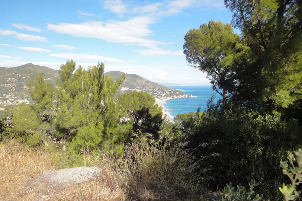
Anstatt nach Testico sind wir direkt in Stellanello hoch nach Villa Lungo-San Damiano. 7km bis zur Höhenstraße. 3km weniger als nach Testico, aber entsprechend steiler. Danach gleicher Weg wie im September über Alassio nach Hause.
Normalmente andiamo via Testico, ma questa volta direttamente da Stellanello da su a Villa Lungo. Un po di piu corto ma anche di piu stressante. Poi lo stessa strada come in septembre.
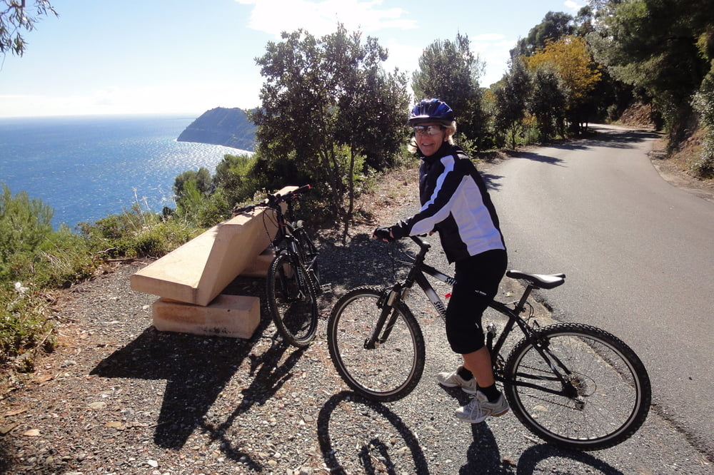
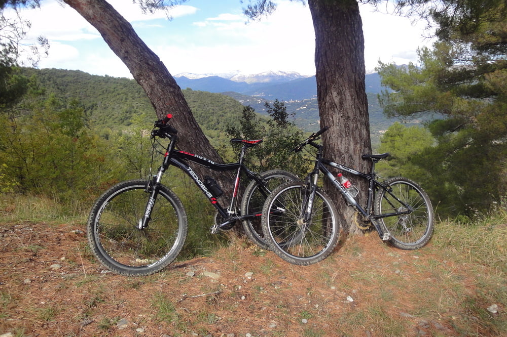
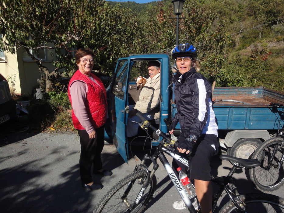
Tour gallery
Tour map and elevation profile
Minimum height -2 m
Maximum height 455 m
More about the tour author
|
|
GuenterM |
Comments

GPS tracks
Trackpoints-
GPX / Garmin Map Source (gpx) download
-
TCX / Garmin Training Center® (tcx) download
-
CRS / Garmin Training Center® (crs) download
-
Google Earth (kml) download
-
G7ToWin (g7t) download
-
TTQV (trk) download
-
Overlay (ovl) download
-
Fugawi (txt) download
-
Kompass (DAV) Track (tk) download
-
Track data sheet (pdf) download
-
Original file of the author (gpx) download
More about the tour author
|
|
GuenterM |
Add to my favorites
Remove from my favorites
Edit tags
Open track
My score
Rate