


Von Ebbinghausen leicht bergauf über X - Wanderweg (schlecht geräumt) nach Husen. Entlang der Altenau und den Mühlenweg zur Amerunger Kapelle. Durch Wälder und Wiesen führt dich der Weg zu einem Rückhaltebecken der Altenau. Weiter am Walderand, verschiedene Bezeichnungen wie A3, U,..., wanderst Du nach Marshallhagen. Über den Alten Klosterweg und Bördeweg landest Du schließlich in Kleinenberg.
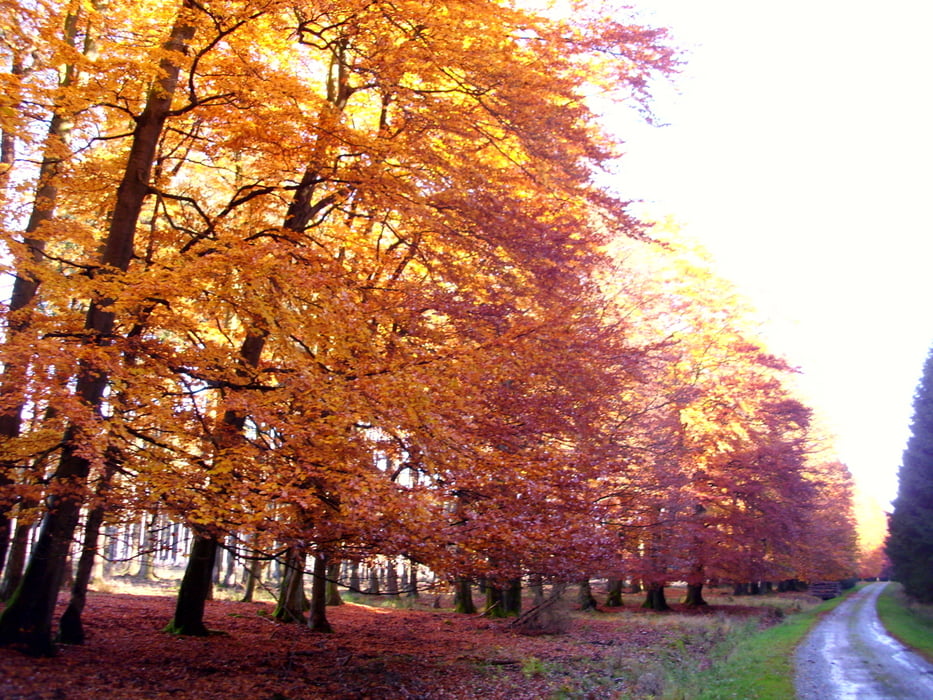
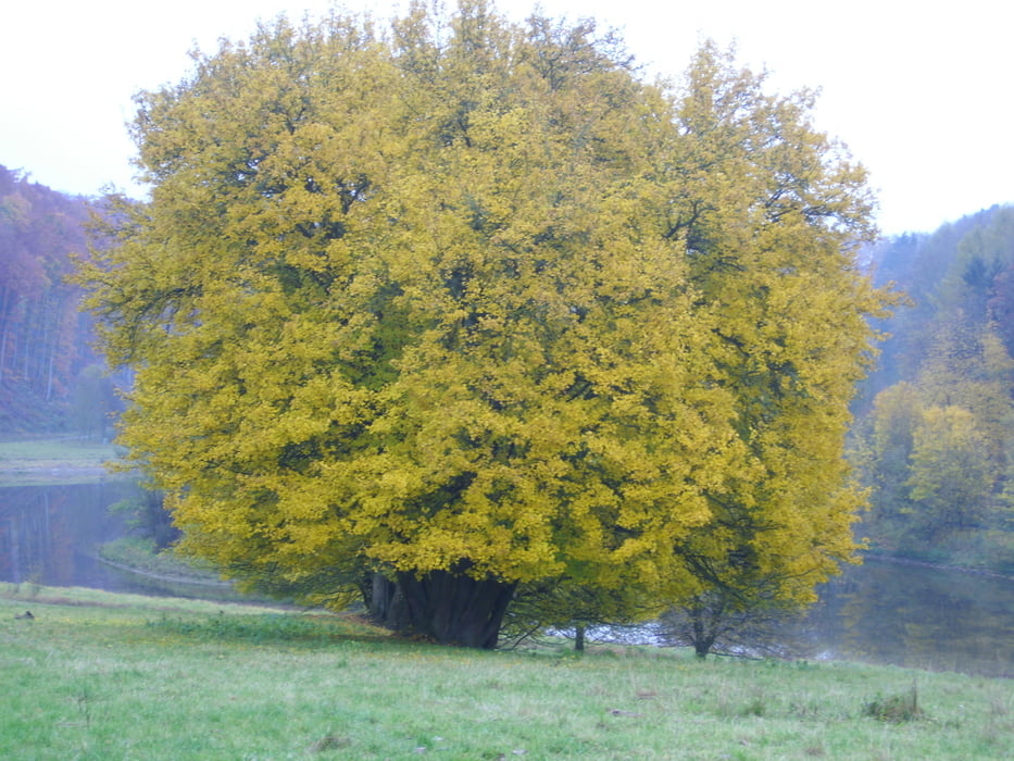
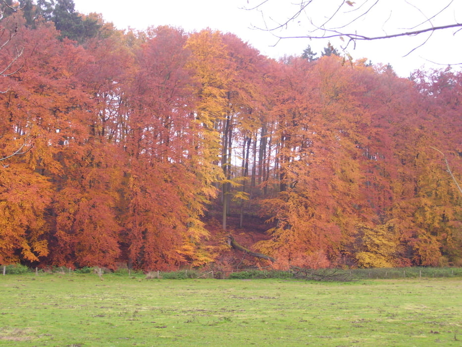
Insgesamt eine sehr schöne Wanderung, organisiert vom http://www.sgv-guetersloh.de. Viele Wegbezeichnungen, Karte ist sinnvoll. Wunderbare Aussichten und tolle Blattfärbungen am 31.10.2010/
Tour gallery

Tour map and elevation profile
Minimum height 212 m
Maximum height 398 m
More about the tour author
|
|
radrolle48 |
Comments

GPS tracks
Trackpoints-
GPX / Garmin Map Source (gpx) download
-
TCX / Garmin Training Center® (tcx) download
-
CRS / Garmin Training Center® (crs) download
-
Google Earth (kml) download
-
G7ToWin (g7t) download
-
TTQV (trk) download
-
Overlay (ovl) download
-
Fugawi (txt) download
-
Kompass (DAV) Track (tk) download
-
Track data sheet (pdf) download
-
Original file of the author (gpx) download
More about the tour author
|
|
radrolle48 |
Add to my favorites
Remove from my favorites
Edit tags
Open track
My score
Rate