


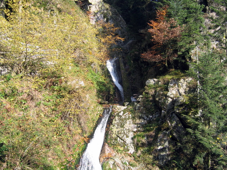
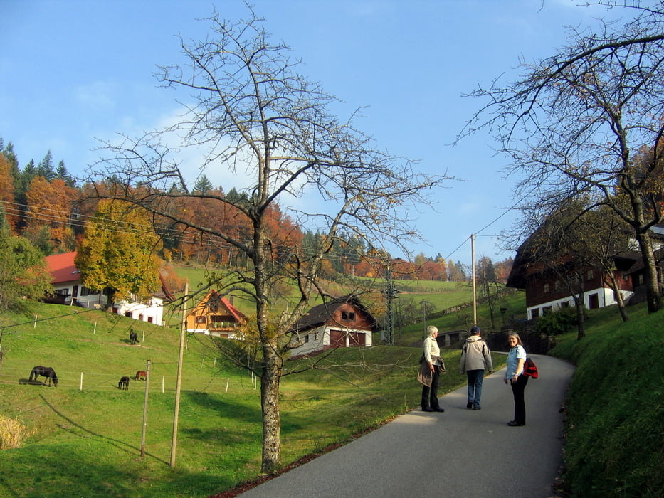
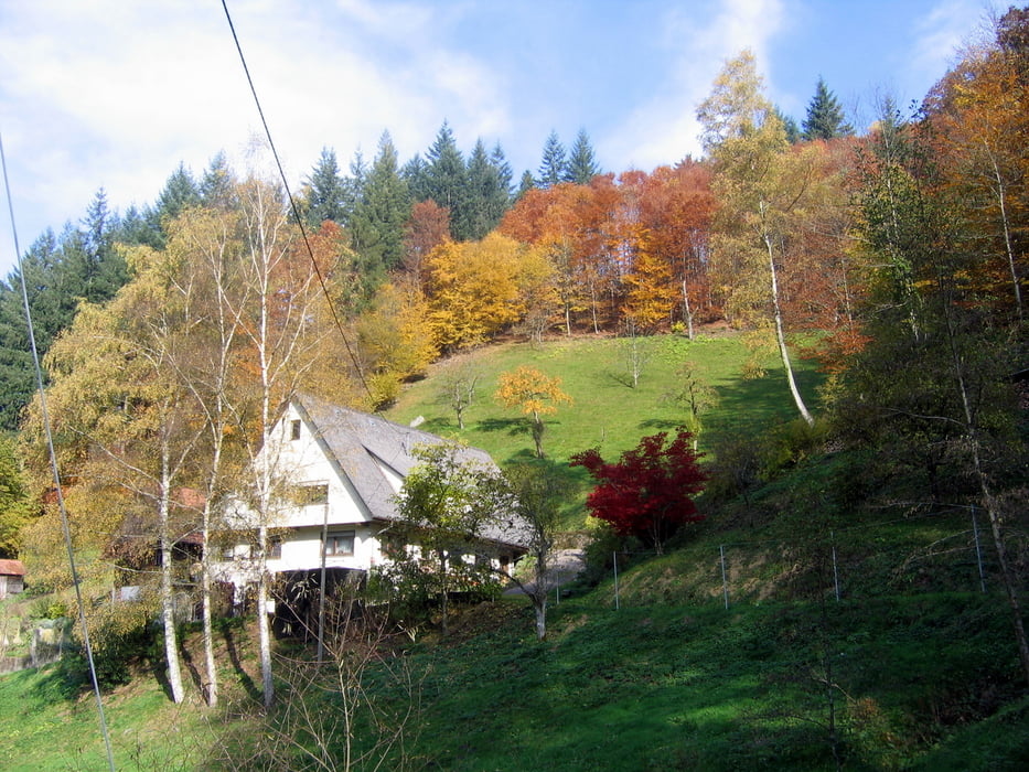
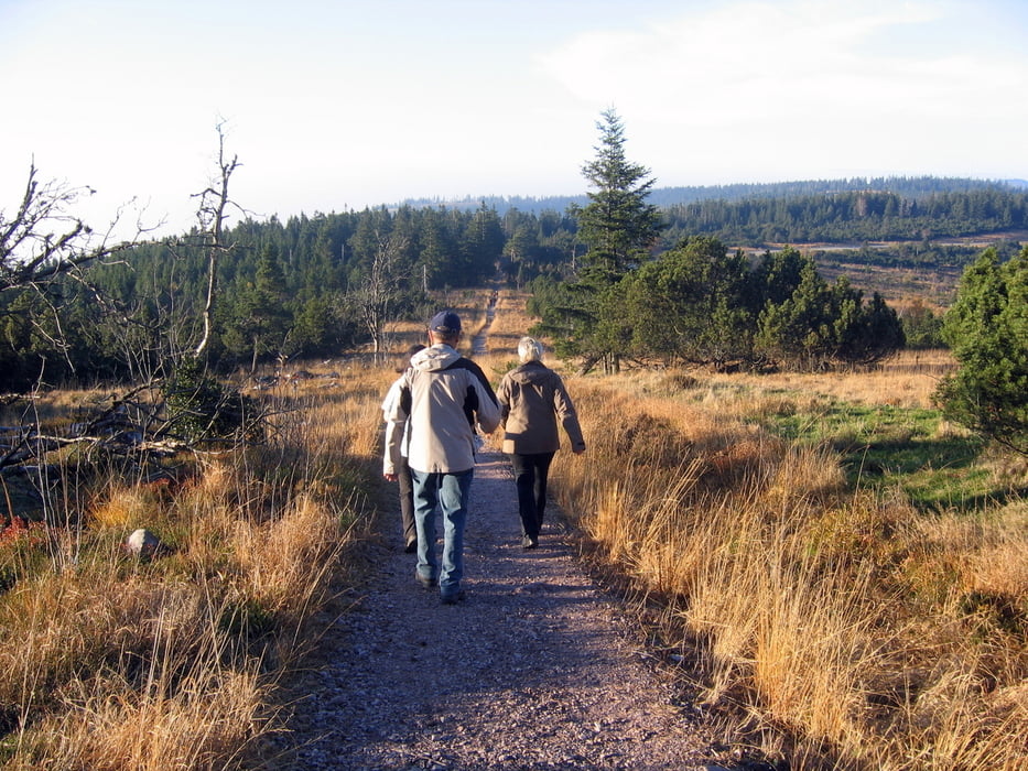
Die Wanderung haben wir am Parkplatz Ruhestein begonnen. Der Wanderweg in Richtung Schliffkopf (1000 m Weg) ist das nächste Ziel. Danach gibt der Achertäler Heimatpfad bis Allerheiligen die Richtung vor. Die Klostergaststätte bietet sich hier an für eine Einkehr. Die Wasserfälle weiter abwärts in Richtung Oppenau sind ein weiteres lohnendes Ziel. Danach folgen wir der blauen Raute bis hinunter zum Maierhof bei Oppenau, wo wir zu Mittag gegessen haben. Jetzt beginnt der Aufstieg hinauf über das Wahlholz auf die Höhen des Schwarzwaldes zum Schliffkopf. Bis zum Ausgangspunkt am Ruhestein sind es nur noch wenige Kilometer über den mit der roten Raute ausgeschilderten Westweg.
Tour gallery
Tour map and elevation profile
Minimum height 434 m
Maximum height 1055 m
More about the tour author
|
|
SiegfriedTheurer |
Comments

GPS tracks
Trackpoints-
GPX / Garmin Map Source (gpx) download
-
TCX / Garmin Training Center® (tcx) download
-
CRS / Garmin Training Center® (crs) download
-
Google Earth (kml) download
-
G7ToWin (g7t) download
-
TTQV (trk) download
-
Overlay (ovl) download
-
Fugawi (txt) download
-
Kompass (DAV) Track (tk) download
-
Track data sheet (pdf) download
-
Original file of the author (gpx) download
More about the tour author
|
|
SiegfriedTheurer |
Add to my favorites
Remove from my favorites
Edit tags
Open track
My score
Rate