


Streckenverlauf:
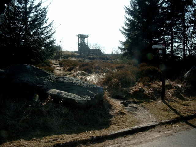
Luisenburgparkplatz - Reichenbach - Mühlbühl - Nagler See - Lochbühl - Reissinger Höhe - Girgelhöhle - Prinzenfelsen - Silberhaus - Platte - Seehaus - Nußhardt - Schneeberg - Schneebergbrunnen - Tausendmeterstein - Haberstein - Seehausparkplatz an der B303.
Luisenburgparkplatz - Reichenbach - Mühlbühl - Nagler See - Lochbühl - Reissinger Höhe - Girgelhöhle - Prinzenfelsen - Silberhaus - Platte - Seehaus - Nußhardt - Schneeberg - Schneebergbrunnen - Tausendmeterstein - Haberstein - Seehausparkplatz an der B303.
Further information at
http://www.ti-fichtelgebirge.de/Tour gallery
Tour map and elevation profile
Minimum height 585 m
Maximum height 1044 m
More about the tour author
|
|
KaufensH |
Comments

Auf der B303 zur Abfahrt Wunsiedel und zur Luisenburg.
GPS tracks
Trackpoints-
GPX / Garmin Map Source (gpx) download
-
TCX / Garmin Training Center® (tcx) download
-
CRS / Garmin Training Center® (crs) download
-
Google Earth (kml) download
-
G7ToWin (g7t) download
-
TTQV (trk) download
-
Overlay (ovl) download
-
Fugawi (txt) download
-
Kompass (DAV) Track (tk) download
-
Track data sheet (pdf) download
-
Original file of the author (gpx) download
More about the tour author
|
|
KaufensH |
Add to my favorites
Remove from my favorites
Edit tags
Open track
My score
Rate