


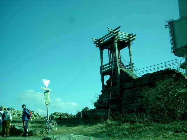
Vom Parkplatz beim Silberhaus über die B303 und dem Höhenweg, der hier zugleich ein Teilstück des Fränkischen Gebirgswegs ist folgend über die Platte (http://de.wikipedia.org/wiki/Platte_(Fichtelgebirge)) zum Seehaus (http://www.seehaus-fichtelgebirge.de/). Weiter zum Aussichtspunkt bei der Felsgruppe Nußhardt und zum Schneeberggipfel.
Vom Gipfel in nördlicher Richtung hinunter zum Schneebergbrunnen, links ab Richtung Tausendmeterstein und Haberstein. Vom Haberstein nun in südlicher Richtung durch z. Teil herrliche Buchenwälder hinunter zum Seehausparkplatz an der B303 (http://www.bayern.de/lfu/natur/gruene_liste/wandern/platten_schneeb.htm).
Vom Gipfel in nördlicher Richtung hinunter zum Schneebergbrunnen, links ab Richtung Tausendmeterstein und Haberstein. Vom Haberstein nun in südlicher Richtung durch z. Teil herrliche Buchenwälder hinunter zum Seehausparkplatz an der B303 (http://www.bayern.de/lfu/natur/gruene_liste/wandern/platten_schneeb.htm).
Further information at
http://www.fichtelgebirgsverein-bischofsgruen.de/aktuell070211.htmlTour gallery
Tour map and elevation profile
Minimum height 703 m
Maximum height 1044 m
More about the tour author
|
|
KaufensH |
Comments

Auf der B303 von der A93 oder der A9 zum Silberhaus.
GPS tracks
Trackpoints-
GPX / Garmin Map Source (gpx) download
-
TCX / Garmin Training Center® (tcx) download
-
CRS / Garmin Training Center® (crs) download
-
Google Earth (kml) download
-
G7ToWin (g7t) download
-
TTQV (trk) download
-
Overlay (ovl) download
-
Fugawi (txt) download
-
Kompass (DAV) Track (tk) download
-
Track data sheet (pdf) download
-
Original file of the author (gpx) download
More about the tour author
|
|
KaufensH |
Add to my favorites
Remove from my favorites
Edit tags
Open track
My score
Rate