


Start/Ziel: Parkplatz Donoper Teich, Stoddartstraße
Los geht's in Richtung Donoper Teich. Weiter parallel zum Teich in Richtung Hiddesen. Man überquert die Lopshorner Allee, die nach Hiddesen führt.
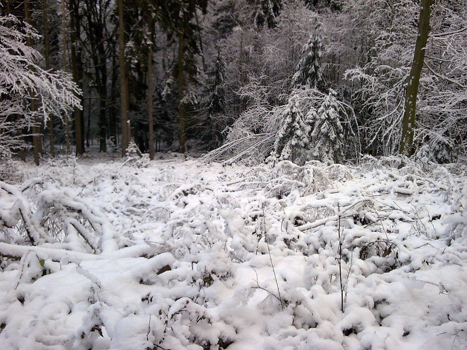
Danach weiter auf Schotter, später dann Asphalt, in Richtung Hermannsdenkmal. Nach ca. 1km kann man es auf der linken Seite erkennen.
Es folgt der Aufstieg auf Schotter zum Denkmal über den Martsieksweg bis zur Denkmalstraße, die nach Heiligenkirchen führt. Man folgt bergan rechtsseitig der Denkmalstraße dem Trail bis zum Parkplatz. Hier kann man weiter bis zum Denkmal gehen.
Der Trail führt abwärts in Richtung Maiweg in Hiddesen. Zwischen den Häusern können sich einige schöne Ausblicke in Richtung Detmold ergeben. An der Spitzkehre der Denkmalstraße wird diese überquert und man folgt dem Trail in Richtung Heidenbach.
Ab hier führt der Weg entgegengesetzt zum Anfang der Tour zurück zu Start/Ziel.
Viel Spaß
Further information at
http://www.hermannshoehen.deTour gallery
Tour map and elevation profile
Minimum height 172 m
Maximum height 332 m
More about the tour author

|
Captain_Future |
Comments

GPS tracks
Trackpoints-
GPX / Garmin Map Source (gpx) download
-
TCX / Garmin Training Center® (tcx) download
-
CRS / Garmin Training Center® (crs) download
-
Google Earth (kml) download
-
G7ToWin (g7t) download
-
TTQV (trk) download
-
Overlay (ovl) download
-
Fugawi (txt) download
-
Kompass (DAV) Track (tk) download
-
Track data sheet (pdf) download
-
Original file of the author (gpx) download
More about the tour author
|
|
Captain_Future |
Add to my favorites
Remove from my favorites
Edit tags
Open track
My score
Rate