Login

Forgotten password?

Cookies have to be accepted!
Your browser's cookie functionality is disabled. Please enable this functionality.

Not a member yet?

Register now
Login

Available for registred users only

Log in to use this feature.

Forgotten password?

Cookies have to be accepted!
Your browser's cookie functionality is disabled. Please enable this functionality.

Not a member yet?

Register now
Filter
Categories
Advanced filters
  • Distance (km)
  • Height
Save filters Reset filter

TrackRank

QRCode

Technical data

Distance18,7 km Height1157 m Way down1150 m Duration07:20 h:m Date11.12.2010
Scores Author User Landscape Fun factor Fitness Technique

Statistics

775 Views 3 Scores 135 Downloads 4.33 Average
Rate
  • Track data sheet
  • Directions
  • Downloads

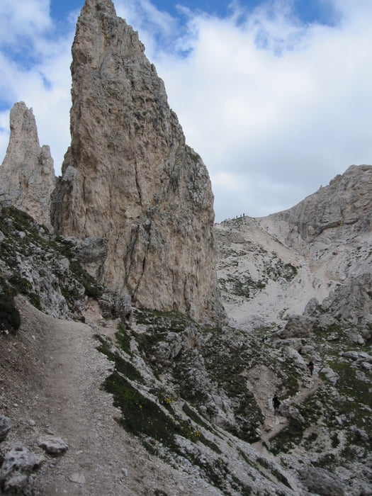
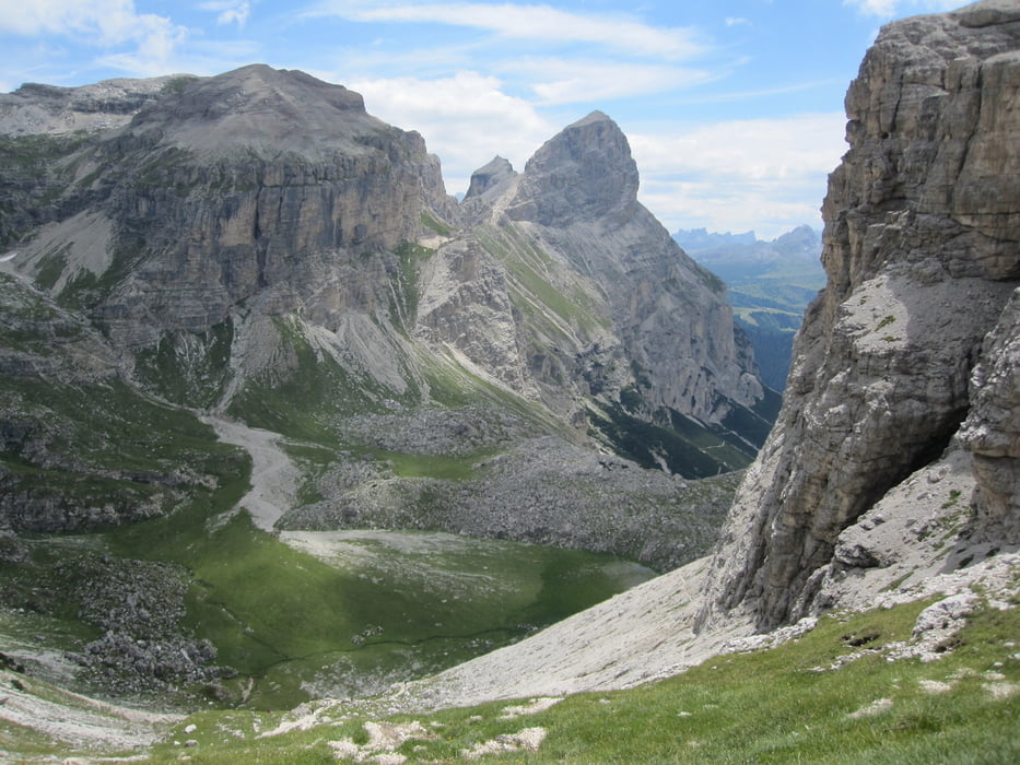
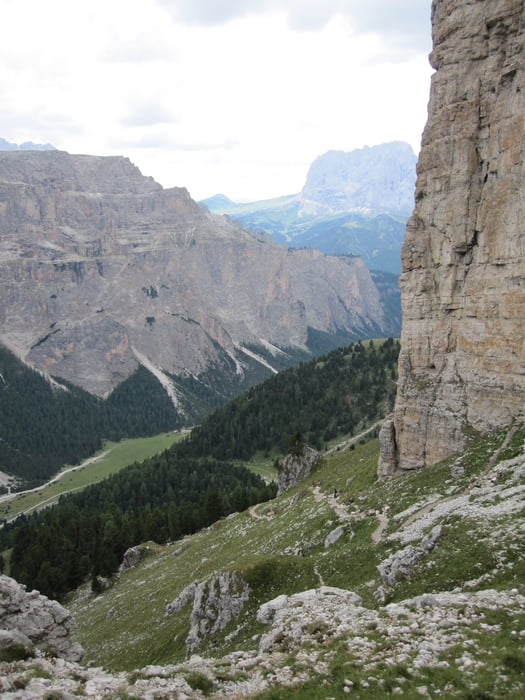
Start in Wolkenstein an der Seilbahn zum Grödnerjoch. Aufstieg mit der Seilbahn (ca. 2,5 km und über 600 Höhenmeter). Zwischenziel Puezhütte. Rückweg nach Wolkenstein durch das Langental.

Tour gallery

Tour map and elevation profile

  • Open Street Map
  • Google
Minimum height 1614 m Maximum height 2533 m Detailed view

More about the tour author

ds5
Member since 2008

Send private message

Comments

GPS tracks

Trackpoints
  • GPX / Garmin Map Source (gpx) download
  • TCX / Garmin Training Center® (tcx) download
  • CRS / Garmin Training Center® (crs) download
  • Google Earth (kml) download
  • G7ToWin (g7t) download
  • TTQV (trk) download
  • Overlay (ovl) download
  • Fugawi (txt) download
  • Kompass (DAV) Track (tk) download
  • Track data sheet (pdf) download
  • Original file of the author (gpx) download

More about the tour author

ds5
Member since 2008

Send private message
Share track
Add to my favorites
Remove from my favorites
Edit tags
My score
Rate
Track: 100726 Wolkenstein - Puezrunde
Type: Hiking
Distance: 18,7 km
Evaluated on:
Duration:
Day(s)
Hour(s)
Minute(s)
Score: Landscape Fun factor Fitness Technique