Login

Forgot your login?

Cookies have to be accepted!
Your browser's cookie functionality is disabled. Please enable this functionality.

Not a member yet?

Register now
Login

Available for registred users only

Log in to use this feature.

Forgot your login?

Cookies have to be accepted!
Your browser's cookie functionality is disabled. Please enable this functionality.

Not a member yet?

Register now
Filter
Categories
Advanced filters
  • Distance (km)
  • Height
Save filters Reset filter

TrackRank

QRCode

Technical data

Distance13,1 km Height217 m Way down1108 m Duration05:30 h:m Date26.12.2010
Scores Author Landscape Fun factor Fitness Technique

Statistics

1100 Views Scores 166 Downloads Average
Rate
  • Track data sheet
  • Directions
  • Downloads

Schöne Tour, fuhr in den letzten Novembertagen.

Alles auf der MTB-Strecke gefahren.
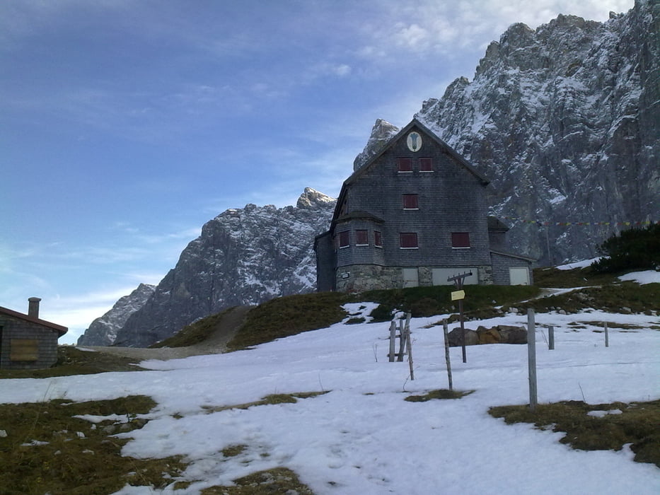
Tour gallery

Tour map and elevation profile

  • Open Street Map
  • Google
Minimum height 947 m Maximum height 1855 m Detailed view

More about the tour author

zagato2003
Member since 2009

Send private message

Comments

Bis zur Mautstelle in Hinterriss. War schon für den Winter gesperrt.

Parkmöglichkeiten gleich nach der Schrank.

GPS tracks

Trackpoints
  • GPX / Garmin Map Source (gpx) download
  • TCX / Garmin Training Center® (tcx) download
  • CRS / Garmin Training Center® (crs) download
  • Google Earth (kml) download
  • G7ToWin (g7t) download
  • TTQV (trk) download
  • Overlay (ovl) download
  • Fugawi (txt) download
  • Kompass (DAV) Track (tk) download
  • Track data sheet (pdf) download
  • Original file of the author (gpx) download

More about the tour author

zagato2003
Member since 2009

Send private message
Share track
Add to my favorites
Remove from my favorites
Edit tags
My score
Rate
Track: Falkenhütte
Type: Mountain bike
Distance: 13,1 km
Evaluated on:
Duration:
Day(s)
Hour(s)
Minute(s)
Score: Landscape Fun factor Fitness Technique