Login

Forgotten password?

Cookies have to be accepted!
Your browser's cookie functionality is disabled. Please enable this functionality.

Not a member yet?

Register now
Login

Available for registred users only

Log in to use this feature.

Forgotten password?

Cookies have to be accepted!
Your browser's cookie functionality is disabled. Please enable this functionality.

Not a member yet?

Register now
Filter
Categories
Advanced filters
  • Distance (km)
  • Height
Save filters Reset filter

TrackRank

QRCode

Technical data

Distance6,9 km Height168 m Way down149 m Duration02:00 h:m Date09.01.2011
Scores Author Landscape Fun factor Fitness Technique

Statistics

432 Views Scores 16 Downloads Average
Rate
  • Track data sheet
  • Directions
  • Downloads

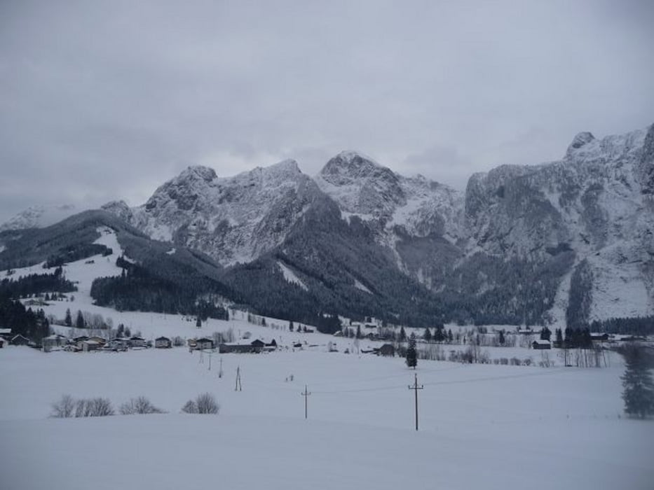
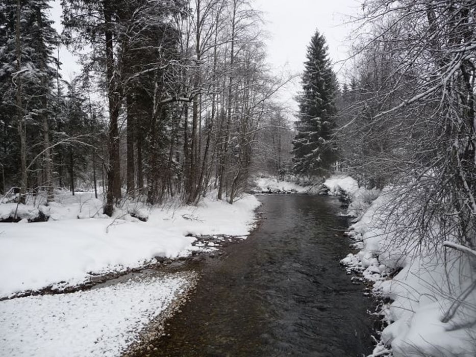
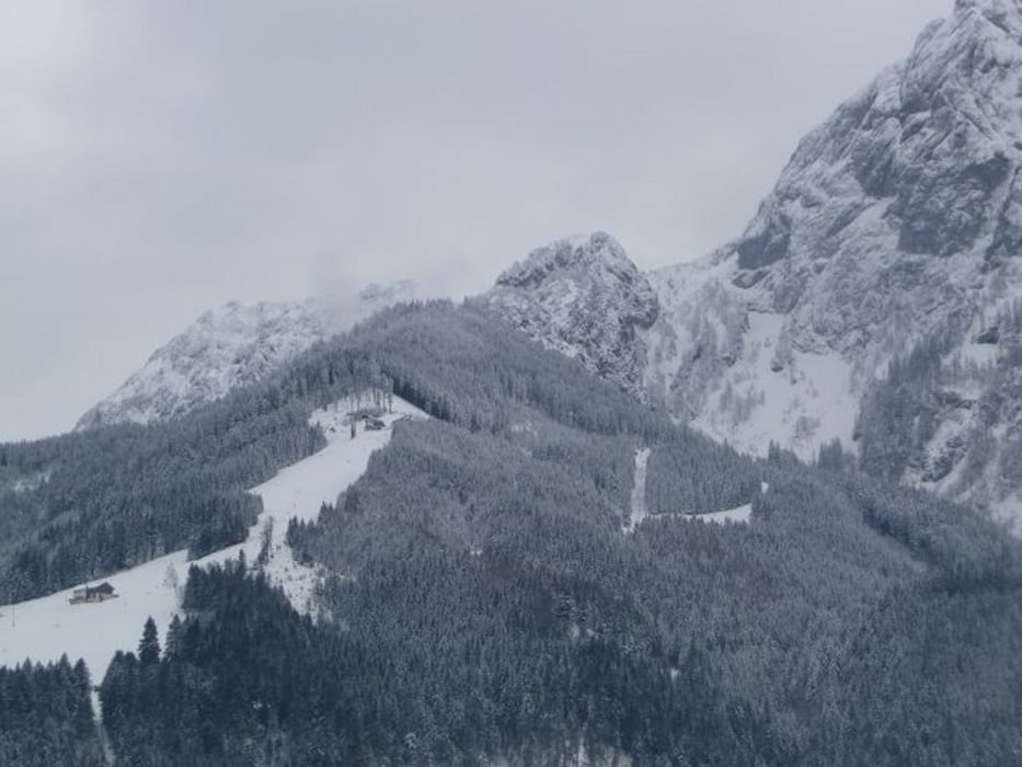
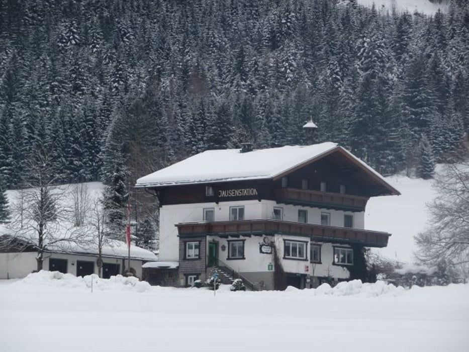
Wanderrunde durch die Au.

Man kreutzt ab und an die Au-Loipe und kann in etlichen Gasthöfen einkehren.


Tour gallery

Tour map and elevation profile

  • Open Street Map
  • Google
Minimum height 618 m Maximum height 741 m Detailed view

More about the tour author

buggi
Member since 2008

Send private message

Comments

Start ab Abtenauer Marktplatz.

GPS tracks

Trackpoints
  • GPX / Garmin Map Source (gpx) download
  • TCX / Garmin Training Center® (tcx) download
  • CRS / Garmin Training Center® (crs) download
  • Google Earth (kml) download
  • G7ToWin (g7t) download
  • TTQV (trk) download
  • Overlay (ovl) download
  • Fugawi (txt) download
  • Kompass (DAV) Track (tk) download
  • Track data sheet (pdf) download
  • Original file of the author (tcx) download

More about the tour author

buggi
Member since 2008

Send private message
Share track
Add to my favorites
Remove from my favorites
Edit tags
My score
Rate
Track: Winterwanderung durch die Au von Abtenau!
Type: Hiking
Distance: 6,9 km
Evaluated on:
Duration:
Day(s)
Hour(s)
Minute(s)
Score: Landscape Fun factor Fitness Technique