Login

Forgotten password?

Cookies have to be accepted!
Your browser's cookie functionality is disabled. Please enable this functionality.

Not a member yet?

Register now
Login

Available for registred users only

Log in to use this feature.

Forgotten password?

Cookies have to be accepted!
Your browser's cookie functionality is disabled. Please enable this functionality.

Not a member yet?

Register now
Filter
Categories
Advanced filters
  • Distance (km)
  • Height
Save filters Reset filter

TrackRank

QRCode

Technical data

Distance19,0 km Height530 m Way down403 m Duration00:00 h:m Date16.01.2011
Scores Author Landscape Fun factor Fitness Technique

Statistics

304 Views Scores 24 Downloads Average
Rate
  • Track data sheet
  • Directions
  • Downloads


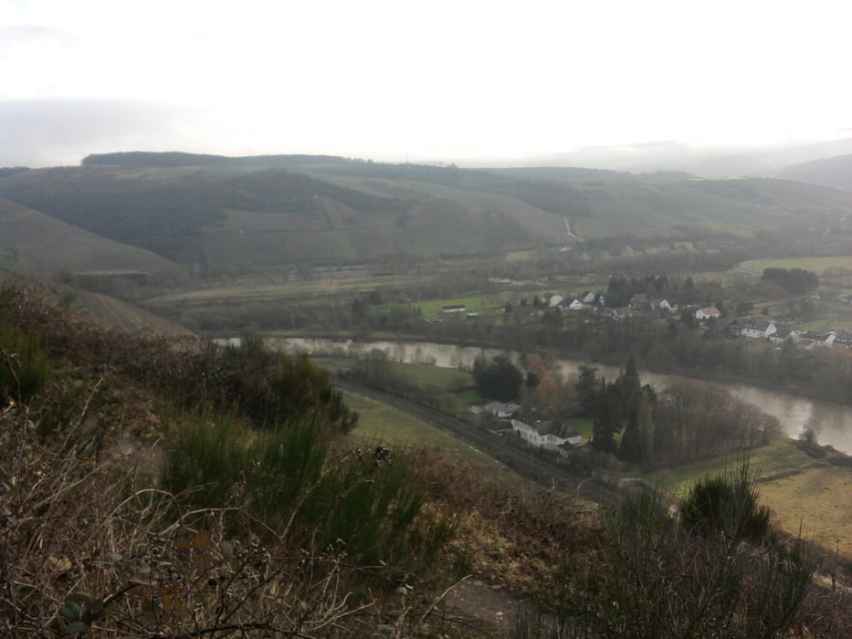
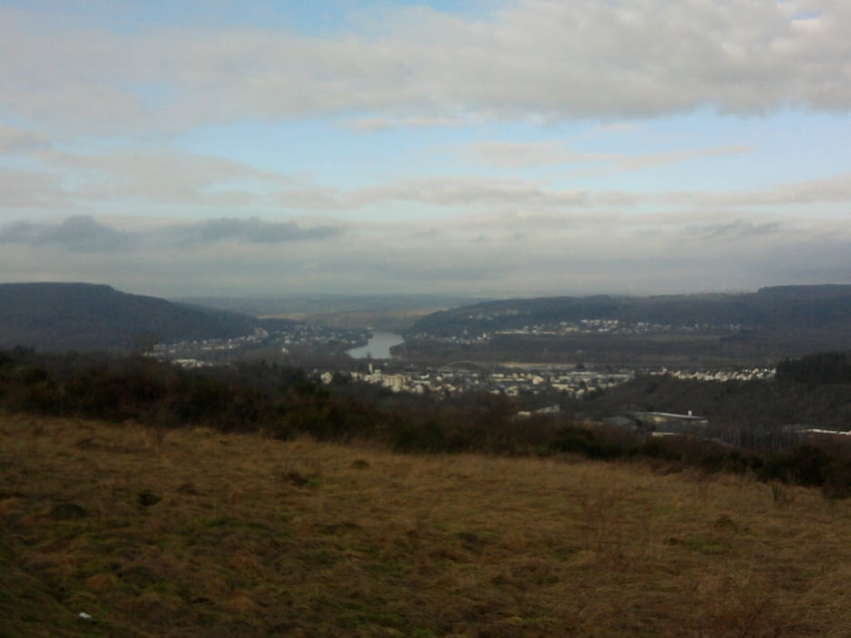
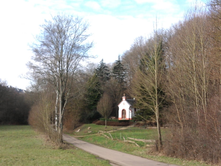
Abwechslungsreiche Wanderung oberhalb der Saar mit schönen Ausblicken auf Wiltungen. Man kan das Weintgut von Günther Jauch sehen. Dann geht es durch Wald und über Felder nach Konz-Rohscheid. Wir sind in der Pizzeria eingekehrt. Empfehlenswert ist aber auch ein Besuch im Freilichtmuseum. Dann sollte man sich den 5 km Schlenker zum Kobenbachhaus sparen.


Tour gallery

Tour map and elevation profile

  • Open Street Map
  • Google
Minimum height 10 m Maximum height 308 m Detailed view

More about the tour author

hase54295
Member since 2009

Send private message

Comments

Anfahrt mit der Bahn nach Konz-Süd

GPS tracks

Trackpoints
  • GPX / Garmin Map Source (gpx) download
  • TCX / Garmin Training Center® (tcx) download
  • CRS / Garmin Training Center® (crs) download
  • Google Earth (kml) download
  • G7ToWin (g7t) download
  • TTQV (trk) download
  • Overlay (ovl) download
  • Fugawi (txt) download
  • Kompass (DAV) Track (tk) download
  • Track data sheet (pdf) download
  • Original file of the author (gpx) download

More about the tour author

hase54295
Member since 2009

Send private message
Share track
Add to my favorites
Remove from my favorites
Edit tags
My score
Rate
Track: RW-Konz-Kanzemer Berg-Rohscheid-15 oder-19km
Type: Hiking
Distance: 19,0 km
Evaluated on:
Duration:
Day(s)
Hour(s)
Minute(s)
Score: Landscape Fun factor Fitness Technique