


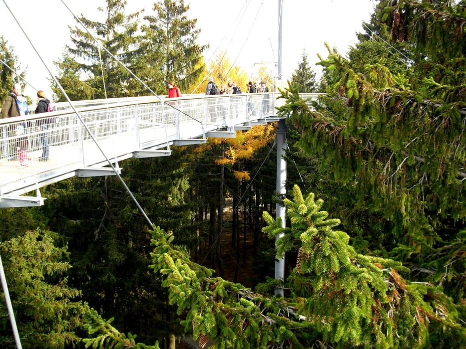
Schneeschuhtour am Pfänderrücken, kann bei sehr wenig Schnee auch ohne Schneeschuhe gehen. Start beim Parkplatz der Luggi Leitner Lifte bei Weihenried/Möggers. Entlang dem Riedbach kommen wir auf den Höhenweg nach Möggers. Weiter auf Wanderweg gehts nun Richtung Geigers. Hier können wir bei guter Sicht auf den Bodensee und Schweizer Alpen blicken. Durch Bergwald führt uns die Tour nun zum Riedstüble mit Einkehrmöglichkeit. Der Rückweg geht nun über Möggers und weiter vorbei am Skywalk Allgäu nach Unterschwenden zum Startpunkt.
Further information at
http://www.scheidegg.deTour gallery

Tour map and elevation profile
Minimum height 803 m
Maximum height 989 m
More about the tour author
|
|
Bockrider |
Comments

Scheidegg/Allgäu nach Weienried. Parken beim Skilift direkt an der Grenze D / A
GPS tracks
Trackpoints-
GPX / Garmin Map Source (gpx) download
-
TCX / Garmin Training Center® (tcx) download
-
CRS / Garmin Training Center® (crs) download
-
Google Earth (kml) download
-
G7ToWin (g7t) download
-
TTQV (trk) download
-
Overlay (ovl) download
-
Fugawi (txt) download
-
Kompass (DAV) Track (tk) download
-
Track data sheet (pdf) download
-
Original file of the author (gpx) download
More about the tour author
|
|
Bockrider |
Add to my favorites
Remove from my favorites
Edit tags
Open track
My score
Rate