


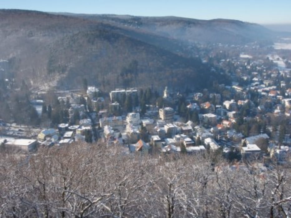
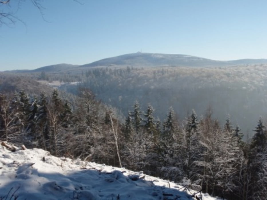
Sehr schöne Rundwanderung in Bad Harzburg. Ausgehend vom Großparkplatz haben wir erst den kleinen und großen Burgberg in Angriff genommen und sind anschließend in einer schönen Runde über das Molkenhaus zum Parkplatz zurückgekehrt.
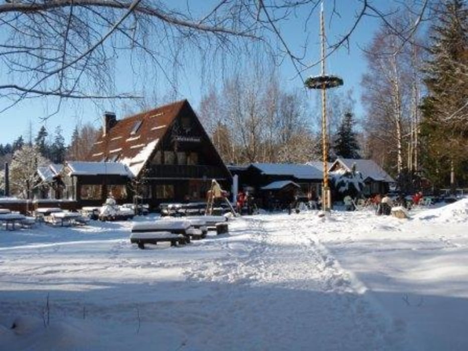
Einkehrmöglichkeiten direkt an der Strecke gib es auf dem Burgberg und im Molkenhaus. Dort besteht sogar die Möglichkeit, wenn man auf der Terasse Getränke kauft mitgebrachte Brote oder ähnliches zu essen!
Ansonsten ist auch ein Abstecher zur Rabenklippe möglich, dort gibt es auch eine bewirtschaftete Hütte mit herlicher Aussicht und dem Luchsgehege.
Wer auf den Anstieg zum Burgberg vrzichten möchte kann auch die Seilbahn benutzen.
Tour gallery
Tour map and elevation profile
Minimum height 279 m
Maximum height 540 m
More about the tour author

|
wanderer_09 |
Comments

Ausreichende und kostenlose Parkmöglichkeit auf dem Großparkplatz direkt an der B4. Ebenso gibt es an der Bundesstraße eine Bushaltestelle. Im Sommer fährt ein Linienbus sogar zum Molkenhaus (wenn die Rast etwas zu lang geworden ist...)
GPS tracks
Trackpoints-
GPX / Garmin Map Source (gpx) download
-
TCX / Garmin Training Center® (tcx) download
-
CRS / Garmin Training Center® (crs) download
-
Google Earth (kml) download
-
G7ToWin (g7t) download
-
TTQV (trk) download
-
Overlay (ovl) download
-
Fugawi (txt) download
-
Kompass (DAV) Track (tk) download
-
Track data sheet (pdf) download
-
Original file of the author (gpx) download
More about the tour author
|
|
wanderer_09 |
Add to my favorites
Remove from my favorites
Edit tags
Open track
My score
Rate